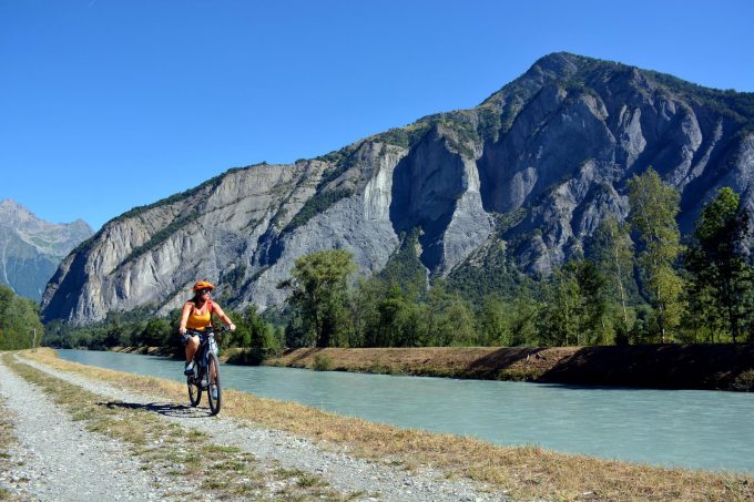
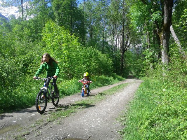
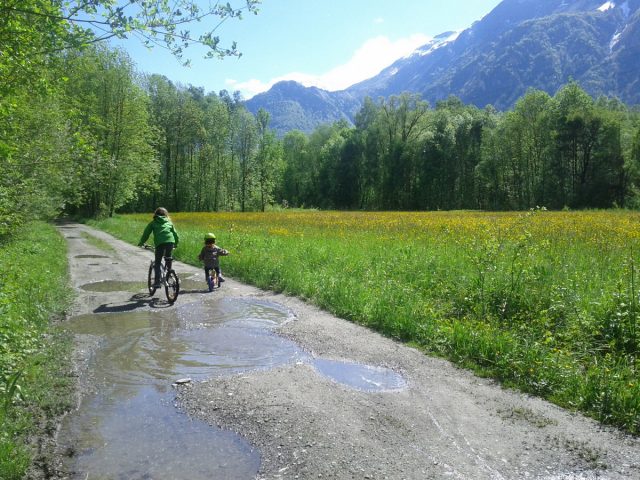
This is a lovely circular ride, ideal for families, around the Bourg d'Oisans plain. In Rochetaillée, the remains of a Roman road, carved high up out of the rock, are a reminder that a lake, the Saint-Laurent, covered this plain 800 years ago.
About : A ride in the Bourg d’Oisans plain
Route in "MTB in Oisans" guide (Oisans Tourisme)
Departure/Arrival (loop): Bourg d'Oisans 720 m
Length: 3 hours
Distance: 18 km
Highest point: 749 m
Lowest point: 711 m
Total height gain: +148 m
Total height loss: -148 m
Technique: 0/4
Endurance: 1/4
Map: Top 25 Bourg d'Oisans and l'Alpe d'Huez 3335 ET
ROUTE
Set off from the Bourg-d’Oisans tourist office, following signs for Grenoble. Ride past the bus station and after a further 400 m, turn left following signs for the «Four Cross». Turn right at La Molière and follow signs for Rochetaillée.
Cross through the hamlet of La Paute. The road then turns into a track, the «Chemin Romain», until Rochetaillée.
Once in Rochetaillée, look at the rock on the left for the surprising remains of the Roman road, built higher up due to the lake that filled the plain at this time. Several sections are still visible over a 300 m stretch. The well dug-out rock forms a 2.2 meter wide arch. Regularly spaced grooves show where a series of beams were positioned to support a wooden deck used to widen the road. This considerable construction work bears witness to the strategic importance of the Oisans road in Roman times, as it was the road that linked Gaul to Italy.
In Rochetaillée, turn left onto the D1091 for just a few dozen metres, before turning right onto the «Chemin de Planche Ronde» to the «Pont Rouge».
Cross over the bridge and carry on up to the junction, where you turn right towards Villard Reculas as far as Le Raffour (at the bottom of the hill). Turn right in Le Raffour and carry straight on to the dyke.
Just after reaching the dyke, take a path to the left towards the Ruines de Vieille Morte. This somewhat sinister name refers to the «dead» arm of one of the many meanders of the Romanche River. In the last century, around 50 people lived in Vieille Morte and an inn provided a stopover for the inhabitants of the Olle Valley travelling to the Bourg-d’Oisans fairs and markets.
Carry straight on to the «3 Ponts», followed by the hamlet of Basset, where you join up with the road. Follow it up to the junction with the road leading up to Alpe d’Huez. Take special care here as cars can come down quickly and visibility is not particularly good.
Turn right back to Bourg-d’Oisans.
En bref
3 h 00
J+ : 148 m
18 km
Level green – easy
Map and GPX marking
A ride in the Bourg d’Oisans plain
Le Bourg-d'Oisans
Services
Activities
- Duration of the session: 180 minutes
Tours
- Average duration of the individual tour: 180 minutes
Opening
From 01/05 to 31/10.
Subject to favorable snow and weather conditions.
Prices
Free of charge
This service provider also offers
Location supplement
Leave your car in one of the free car parks in Bourg d’Oisans - the ride will bring you back to the same place.


