This loop between Oisans and Savoy will take you over the Col du Glandon and the Col de la Croix de Fer. Cyclists who tackle these legendary passes exchange greetings. They share the same sense of achievement: it’s tough, it’s long, but it’s so beautiful!
About : The loop of the passes
Itinerary no. 15 of the “Cycling in Oisans” guide (Oisans Tourisme)
Departure / Arrival (loop): Bourg d’Oisans 720 m
Time: 7 h 30
Distance: 150 km
Highest point: 2071 m
Lowest point: 463 m
Total ascent: 3820 m
Max. gradient: 13%
Map: Michelin Local Map no. 333 Isère, Savoie
ITINERARY
From Bourg d’Oisans follow the D1091 towards Grenoble.
In Rochetaillée continue towards “Allemond / Col du Glandon - Col de la Croix de Fer”.
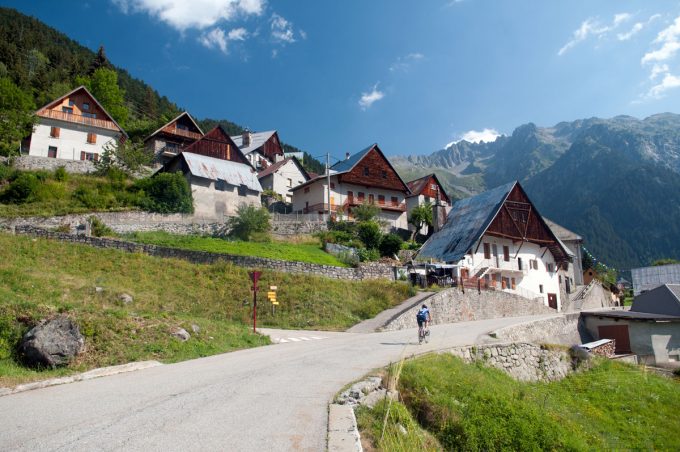
On leaving Allemond, climb up 2 hairpin bends to get to the top of the Verney dam. At the end of the dam, the route towards “Col du Glandon - Col de la Croix de Fer” will be signposted, taking you alongside the Lake Verney.
At the end of the lake, you will start a steep climb up to Rivier d'Allemond.
At Rivier, you can take a little breather before dropping down to the bottom of the valley and then attacking a new strenuous climb up to the Lake Grand Maison.
Once arrived at the lake, the steep-sided valley gives way to beautiful alpine pastures. The ride will be more easy-going from here to the Col de Glandon (1924 m).
Once over the pass, continue along the D927 to Saint-Étienne-de-Cuines. Once you reached the village centre, fork to the D74 towards Sainte-Marie-de-Cuines. Pass under the motorway and take a right turn onto D1006 towards Saint-Jean-de-Maurienne. At the first roundabout, follow the D906 with the signposting “Saint Jean de Maurienne / Col de la Croix de Fer”. Cross Saint-Jean-de-Maurienne in the direction of “Vallée de l'Arvan”. To reach Albiez-le-Jeune, follow the signposts to “Torino / St-Michel-de-Maurienne”, then, once in an industrial estate, you will find the direction “Albiez-le-Jeune” (D81).
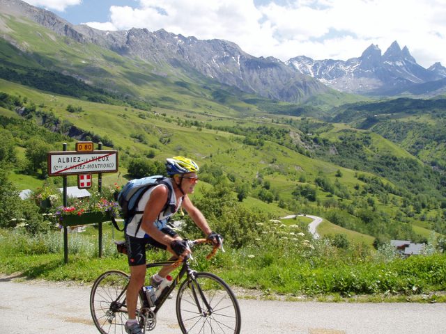
Climb the D80 up to Albiez-le-Jeune, go past Albiez-le-Vieux and the Col du Mollard (1638 m) up to the road D926 that you will follow as far as the Col de la Croix de Fer.
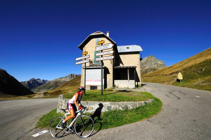
When you reach the Col de la Croix de Fer (2067 m), you are at the highest point of your route. All you have to do now is let yourself wheel it down to Bourg d'Oisans following the route to “Col du Glandon” and then “Allemond”. You will find yourself back on the route you took on the way out.
POSSIBLE ALTERNATIVE: Via Arvan Valley
From Saint Jean de Maurienne keep going towards “Centre ville / Vallée de l'Arvan”. At the roundabout decorated with a giant Opinel knife, follow the D926 towards “col de la Croix de Fer”. This route is 10 kilometres shorter than the D80 leading up to the Col du Mollard. However, due to the tunnels and frequent road works, it may be more tiresome.
---
Distance: 15 km
Time: 2 h
Total ascent: 922 m
En bref
7 h 30
J+ : 3820 m
150 km
Level black - very hard
Map and GPX marking
The loop of the passes
Le Bourg-d'Oisans
Services
Activities
- Duration of the session: 450 minutes
Tours
- Average duration of the individual tour: 450 minutes
Opening
From 05/01 to 10/31 : open daily.
Learn about the opening date of paths.


