
778766-diaporama
4978353-diaporama
4978354-diaporama
A long ascent of the Vallon de la Selle to discover a breathtaking glacial and mineral universe!
About : Refuge de la Selle – Hiking
TECHNICAL INFORMATION
Start: Saint-Christophe-en-Oisans (1475 m)
Difference in altitude: 1,173 m
Duration round trip: 4h one way, 3h return
Distance: 8.2 km
Level - technical: easy / physical: moderate
MAP AND TOPO
OBP n° 5 (Oisans au Bout des Pieds) : 538
IGN TOP 25 n°3336 ET
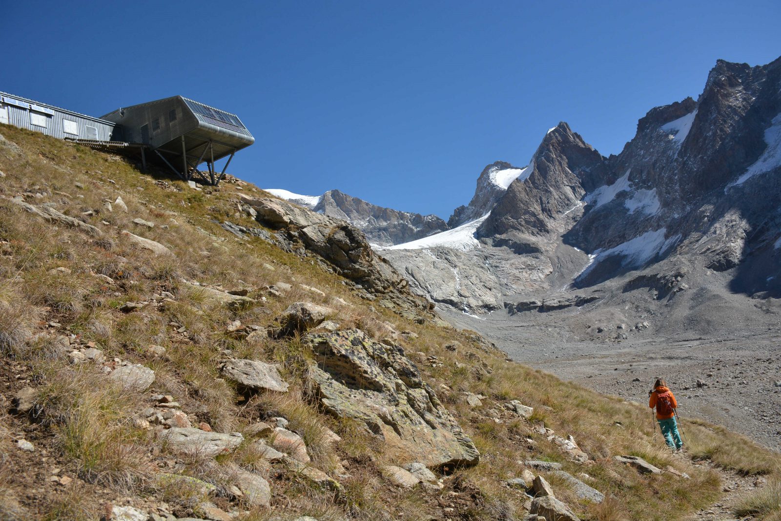
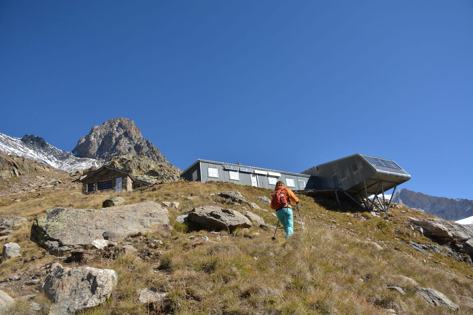
The Refuge, set on a promontory, faces the Glacier de la Selle and the foot of the Râteau. Like many of its counterparts in the massif, it sits at the end of its valley, where the realm of hiking is slowly giving way to that of the high mountains.
The trail rises into the Vallon de la Selle, revealing its waterfalls and incredible flora. The last hour of the walk offers a magical panorama of the Glacier de la Selle, which can be approached after a further hour's walk.
This long hike takes place in a fantastic atmosphere, with glaciers nearby, marmots and particularly remarkable alpine flora.
INTERESTING FACTS
- Even in summer, there can still be numerous snowdrifts, so be careful when crossing them.
- You're in the Parc national des Écrins, so respect the regulations: don't go off the paths, and don't pick, light fires or camp. For the sake of wildlife, dogs are forbidden (even on a leash).
En bref
4 h 00
J+ : 1173 m
8.2 km
Level red – hard
Map and GPX marking
Refuge de la Selle – Hiking
Saint-Christophe-en-Oisans - La Bérarde
Services
Tours
- Average duration of the individual tour: 240 minutes
Download
Opening
From 15/05 to 31/10.
Subject to favorable snow and weather conditions.
Prices
Free access.
This service provider also offers

Location supplement
Inside the Ecrins National Park boundary; no dogs allowed, even on a lead.