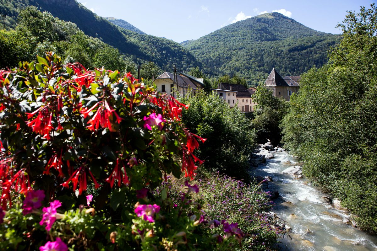
At the crossroads of Oisans
Midway between Alpe d’Huez and Les Deux Alpes, Le Freney d’Oisans is a mountain village surrounded by little ‘satellite’ hamlets full of charm.
The ‘sentier des oratoires’ trail winds through the town to explore the heritage sites and protected natural environment. Mont Cassini, in the highlands of Freney, is an outstanding viewpoint overlooking the mountain peaks!
![Le Freney d'Oisans - été]()
Le Freney d’Oisans – Le Freney d’Oisans ©Laurent Salino
Le Freney d’Oisans ![Le Freney d'Oisans - été]()
Le Freney d’Oisans – Le Freney d’Oisans ©Laurent Salino
Le Freney d’Oisans ![Le Freney d'Oisans - été]()
Le Freney d’Oisans – Le Freney d’Oisans ©Laurent Salino
Le Freney d’Oisans ![Chapelle Notre-Dame-de-Pitié - Hameau de Puy-le-Bas - été]()
Chapelle Notre-Dame-de-Pitié – Hameau de Puy-le-Bas – Chapelle Notre-Dame-de-Pitié – Hameau de Puy-le-Bas ©Laurent Salino
Chapelle Notre-Dame-de-Pitié – Hameau de Puy-le-Bas ![Oratoire Saint Servan - Hameau de Puy-le-Bas - été]()
Oratoire Saint Servan – Hameau de Puy-le-Bas – Oratoire Saint Servan – Hameau de Puy-le-Bas ©Laurent Salino
Oratoire Saint Servan – Hameau de Puy-le-Bas ![Le Freney-d'Oisans - été]()
le-freney-img01 – Le Freney-d’Oisans ©Laurent Salino
Le Freney-d’Oisans
To see and do
From the banks of the Romanche to Mont Cassini (2,376 m), there’s so much to see and do in this Alpine village. Chambon dam has been overlooking the village since 1935 and was for a very long time, one of the highest dams in Europe. You can stop here to admire the view.
The ‘sentier des oratoires’ trail winds through the village, taking visitors on an exploration of the heritage sites and unspoilt natural environment. Higher up, beyond the hamlet of Le Puy, the Alpine pastures provide the ideal habitat for the herds to graze.
Then we reach the Col de Sarenne, linking Clavans and Le Freney, before going up the famous Sarenne black slope (who’d have thought) that leads to Pic Bayle!

The Croix de Cassini
At an altitude of 2,361 m, the Croix de Cassini provides THE ultimate 360° view, one of the most spectacular in Oisans in fact, with the furthest ranging view of the neighbouring mountains and valleys. It was under the reign of Louis XIV that a talented astronomer, Gian Doménico Cassini or Cassini I, was entrusted with mapping the entire kingdom. The Cassini family was 4 generations of topographers, from father to son, who replaced the naive-style maps between 1750 and 1790 (there were 181 maps to represent the whole of France at that time!). In 1739, Cassini III left his name at the top of this peak, chosen for its unique, clear view of the surrounding area. The Cassini maps, designed over 250 years ago, are now just as precious as our current IGN maps. Every year since 1999, the last weekend in August, the ‘La montée de Cassini’ association have been meeting for a drink at this peak and then they organise an enjoyable and friendly meal at the Col de Sarenne. Departures possible: from the Col de Sarenne (1.5 hours – 360m positive incline) or from the Col de Clavans (3.5 hours – 950m positive incline).

Chemin des oratoires
This trail will lead you on an exploration of oratories and chapels, through the mountain hamlets, to see Le Freney-d’Oisans from different angles… The walk is around 4 to 5 km long and there is a positive incline of 200 metres. The chapels and oratories, also known as ‘small, religious heritage sites’, are local places of worship devoted to the saints known to protect and heal. If you would like to explore these heritage sites, come and pick up a leaflet with the itinerary, available from the Auberge du Freney, the Hôtel du Cassini or the AVIA petrol station.


