The Col du Galibier
The Col du Galibier
The Col du Galibier

The Col du Galibier
The Col du Galibier
The Col du Galibier
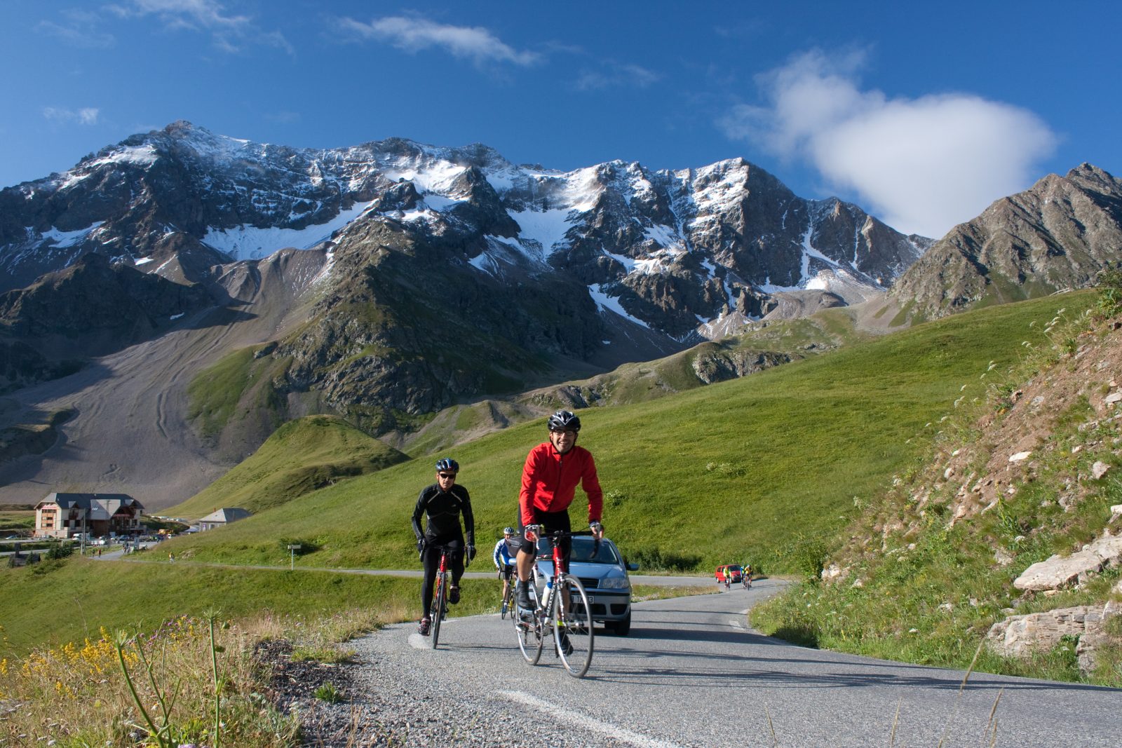
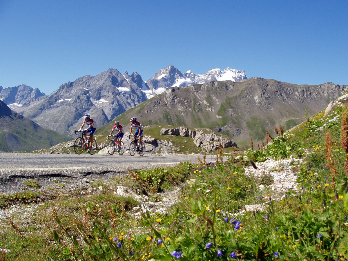
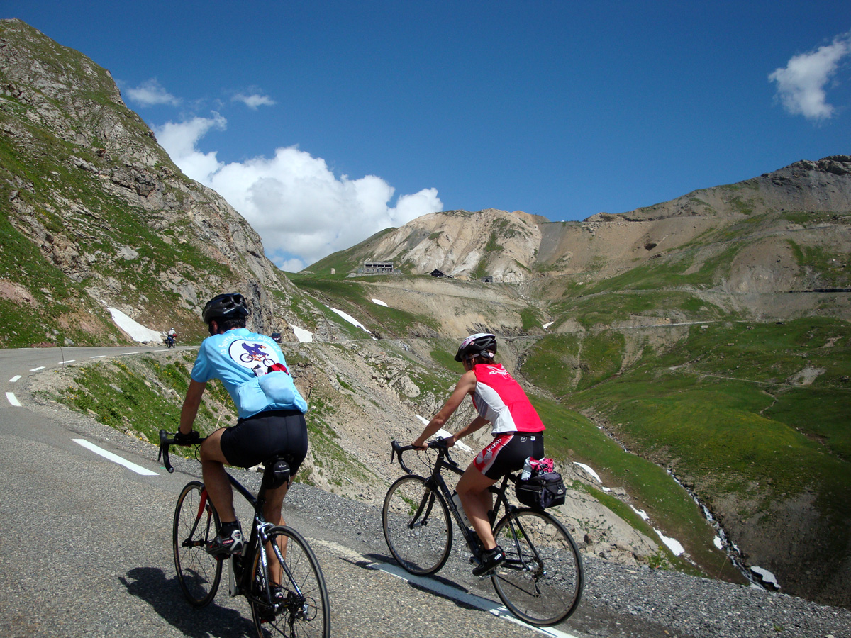
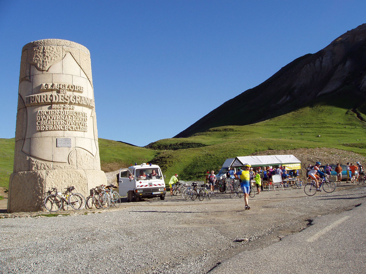
The plain of Bourg d’Oisans makes a good warm-up before tackling the formidable ascent of this gigantic mountain (2646 m). Without forgetting that you first have to pass the Col du Lautaret in order to reach Le Galibier. Real high mountain atmosphere!
About : The Col du Galibier
Itinerary no. 20 of the “Cycling in Oisans” guide (Oisans Tourisme)
Departure / Arrival: Bourg d’Oisans 720 m
Time: 6 h
Distance (R/T): 96 km
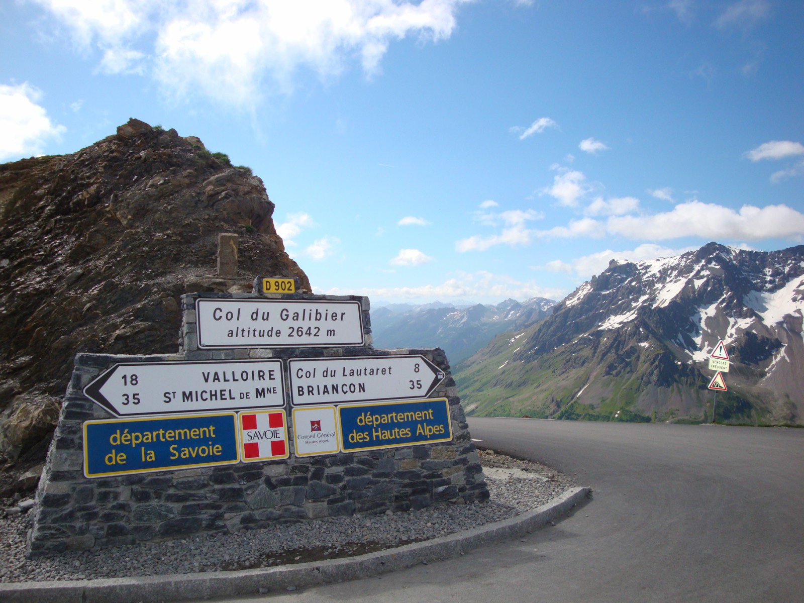
Highest point: 2646 m
Lowest point: 720 m
Total ascent: 2970 m
Max. gradient: 14%
Map: Michelin Local Map no. 333 Isère, Savoie
ITINERARY
From Bourg d’Oisans follow the D1091 towards “Briançon / Les 2 Alpes” as far as the Chambon dam. You will go through 4 lit tunnels on this portion. For your safety, make sure you are visible.
Once at the dam, continue towards “Briançon / La Grave” as far as the Col du Lautaret (2058 m).
On the Col du Lautaret turn left towards the Col du Galibier. 8 km of steep climbing remain before you reach the top.
Remember to take into account the effects of altitude, which can be felt from 2000 m.
En bref
6 h 00
J+ : 1900 m
96 km
Level black - very hard
Map and GPX marking
The Col du Galibier
Le Bourg-d'Oisans
Services
Tours
- Average duration of the individual tour: 360 minutes
Opening
From 01/06 to 31/10.
Subject to favorable snow and weather conditions.
Prices
Free of charge.
This service provider also offers

