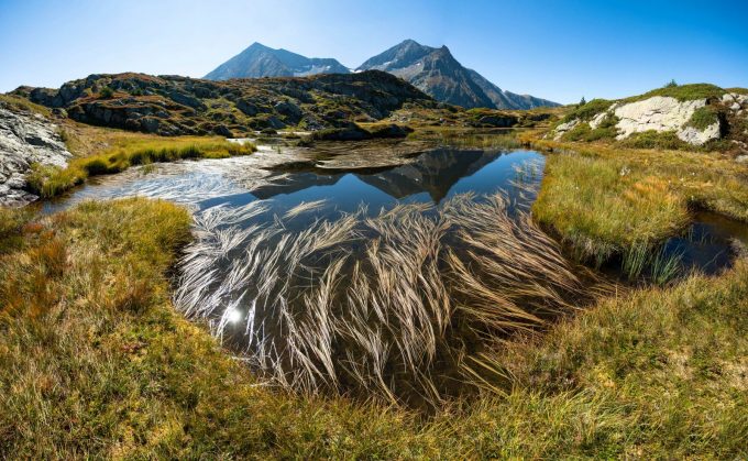
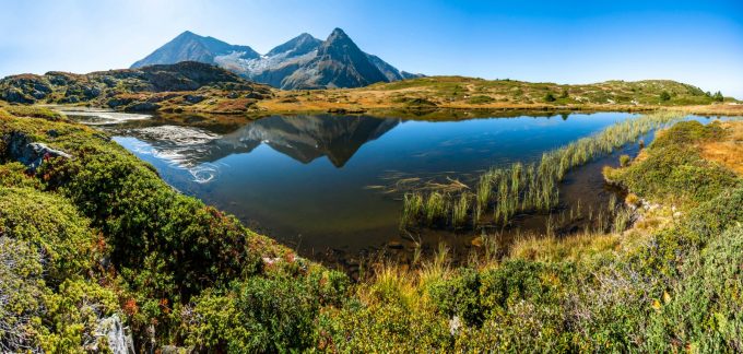
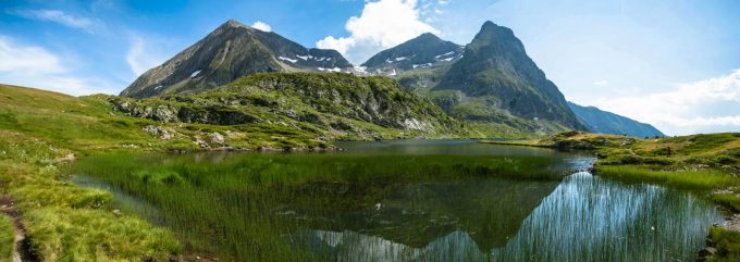
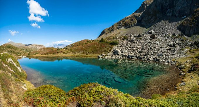
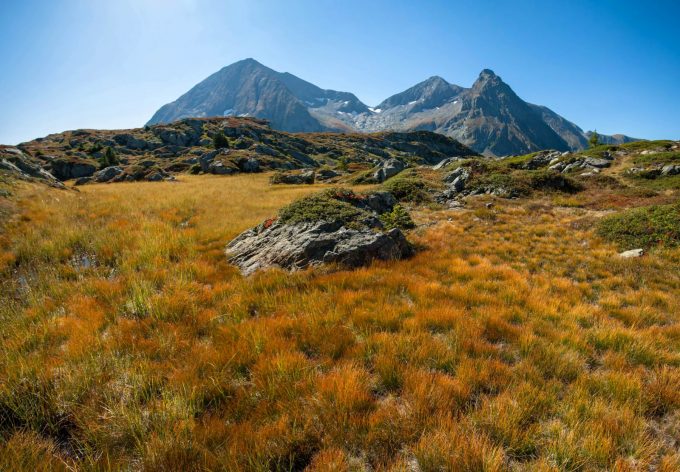
Discover the Taillefer lakes plateau in a tundra-like setting. This little-known, fairly steep route in a very forested environment is for experienced hikers/trailers only.
About : Rioupéroux au plateau des lacs du Taillefer
TECHNICAL INFORMATION
Start: Le hameau des Clots, Rioupéroux
Difference in altitude: 1600 m
Duration : 9h
Round trip distance: 17 km
Level: difficult
MAP:
IGN map: TOP 25 - 3335 OT Grenoble Chamrousse Belledonne
ITINERARY
Join the village of Rioupéroux on the Route de l'Oisans.
On leaving the village, turn right onto the road leading to the hamlet of Les Clots.
Park in the small parking lot (2/3 spaces) at the entrance to the hamlet.
Drive past a chapel and a wash-house, and shortly before the last houses (at Rue du Carrelet) turn right onto the path which runs flat to the east. The Chalets de la Barrière are signposted 3.6 km ahead.
Enter the forest. It doesn't take long for the trail to rise steeply, putting you right into the effort.
The trail crosses a first intersection at altitude 1010m.
Continue south towards La Barrière. Climb 500m to reach the Cabane de la Queue du Chien, a large log cabin.
Walk past the hut. The trail crosses a few forest tracks, but the clearly visible markings make it easy to find your way. The trail then reaches the Chalets de la Barrière.
Head east towards the Plateau des Lacs, where the view opens up to the Pyramide and Taillefer. Continue along the south-east-facing path and, shortly before the Pas de l'Envious, head south-west towards Lac Fourchu, which is reached after a short climb.
From the southernmost point of the lake, start an off-trail climb heading southeast towards the base of the Pyramide. Reach Lac Culasson, skirt the lake's spillway, always staying on the left bank, and descend towards Lac Noir and Lac de l'Agneau, from where the view of the Écrins and Grandes Rousses is impressive.
Return by the same route
SIGHTS ALONG THE WAY:
-the Grand Galbert summit from the Barrière chalets
-the Pyramide and Taillefer peaks
-Grandes Rousses and Ecrins ranges
TO KNOW :
Near the chalets de la Barrière, you'll find the Pré d'Ornon, a memorial to the Oisans Resistance.
Visitor alert
The moors, peat bogs and rocky environments of the Taillefer Massif have been awarded the Natura 2000 label. Remarkable for its biological richness, the site is home to 28 "habitats" of community interest, 5 of which are priorities for conservation.
The Taillefer massif: a remarkable, fragile... and protected site!
The Taillefer Natura 2000 site is an exceptional natural area, which nevertheless remains particularly fragile and vulnerable. As a result, specific regulations apply.
Swimming and camping prohibited
Bivouacs are forbidden except in designated bivouac areas, and only from 7pm to 9am.
En bref
9 h 00
J+ : 1600 m
17 km
Level black - very hard
Map and GPX marking
Rioupéroux au plateau des lacs du Taillefer
Livet-et-Gavet
Facilities
- Free car park
- Car park
Services
- Pets welcome
Services
Activities
- Duration of the session: 540 minutes
Tours
- Average duration of the individual tour: 540 minutes
Download
Opening
From 01/05 to 31/10.
Subject to favorable snow and weather conditions.
Prices
Free access.

