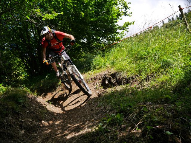
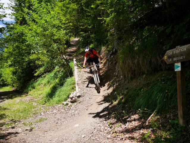
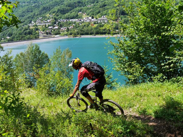
A "special enduro" ride, this route starts in pastureland and ends at Allemond at the Lac du Verney (1350 m of height loss). Although not very technical, it can be very fast for experienced riders and good practice for the less experienced.
About : Le Boulangeard
Route in the “MTB in Oisans” guide (Oisans Tourisme)
Departure: Alpe d'Huez, 1 850 m
Arrival: Le Bourg-d'Oisans, 720 m
Time: 2 hours
Distance: 19 km
Highest point: 1 995 m
Lowest point: 712 m
Total ascent: + 220 m
Total descent: - 1 350 m
Technique: 3/4
Endurance: 2/4
Map: Top 25 Bourg d'Oisans et l'Alpe d'Huez 3335 ET
ROUTE
> Starting at the «Rond Point des Pistes» roundabout in Alpe d’Huez, follow the Route des Lacs road up to the Col du Poutran. At La Fontaine du Poutran, take the track on the left (signposted «EN3»).
> Once at the Crête de la Sure (1995 m), you are at the highest point of the route. The path goes down to the right, crossing pastureland before passing under avalanche shelters and then winding its way along the edge of a forest. This section can be very fast for skillful riders and is a good exercise for those
with less experience.
> Lower down, the path suddenly becomes calmer and you arrive at the Sardonne/Oz junction. Carry straight on towards Oz. This is a small, transverse path that then turns into an off-road vehicle track. Stay on this track for just under 1 km until you get to a right-hand bend. At this bend, follow the path going off
to the left towards “Pré Raynaud”. This section, which is also part of the Megavalanche, is quite fast and technical.
> After this somewhat intense section, you arrive on an off-road vehicle track. Carry on down it, past the hairpin bend and just 10 m further on, the Chemin du Boulangeard goes off to the right (signposted “EN 4”). You are now getting to the serious part, with technical switchbacks and some fine banked bends that follow one after the other until you reach the road leading to Le Boulangeard.
> Once on the road, turn right for 100 m and then take the first path down on the left. After a few bends and some wooden steps, you join the road to Allemond and the Lac du Verney. Carry straight on to Bourg-d’Oisans via le Raffour and then the track alongside the Romanche river.
Or to go back to Alpe d'Huez in the summer, cross over the dam to Allemond to take the cable car up to Oz and then to Alpe d'Huez. Remember that you need a ticket to take the cable car.
En bref
2 h 00
J+ : 220 m
19 km
Level red – hard
Map and GPX marking
Le Boulangeard
Oz-en-Oisans
Services
Activities
- Duration of the session: 120 minutes
Tours
- Average duration of the individual tour: 120 minutes
Opening
From 01/06 to 31/10.
Prices
Free access.
This service provider also offers
Location supplement
There are a number of options for getting to the start point at Alpe d'Huez.
If you have two cars, leave one in Bourg d'Oisans.
Or use the Bourg d'Oisans > Alpe d'Huez bus (line 3020).
In the summer, you can take advantage of the cable car "Eau d'Olle Express" between Allemond and Oz Station, and then to Alpe d'Huez (remember that you need a ticket to get to Alpe d'Huez on the ski lift).


