10127330-diaporama
10127333-diaporama
9610481-diaporama
10127209-diaporama
10127220-diaporama
10127221-diaporama
10127222-diaporama
10127259-diaporama
10127260-diaporama
10127261-diaporama
10127262-diaporama
10127263-diaporama
10127264-diaporama
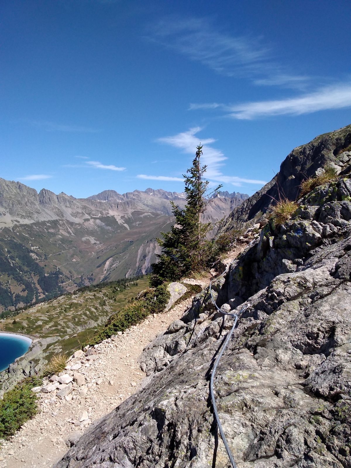
This hike requires to be in good physical condition. Some passages are vertiginous and stiff, equipped with cables. You can enjoy an easier hike by using skilift in summer and start from the Plateau de l'Alpette.
About : La Fare Mountain Hut from Oz resort
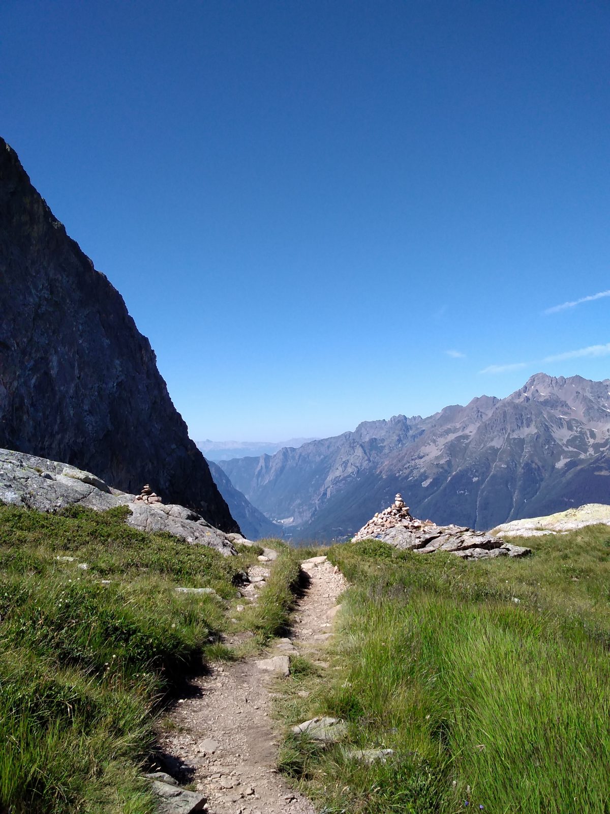
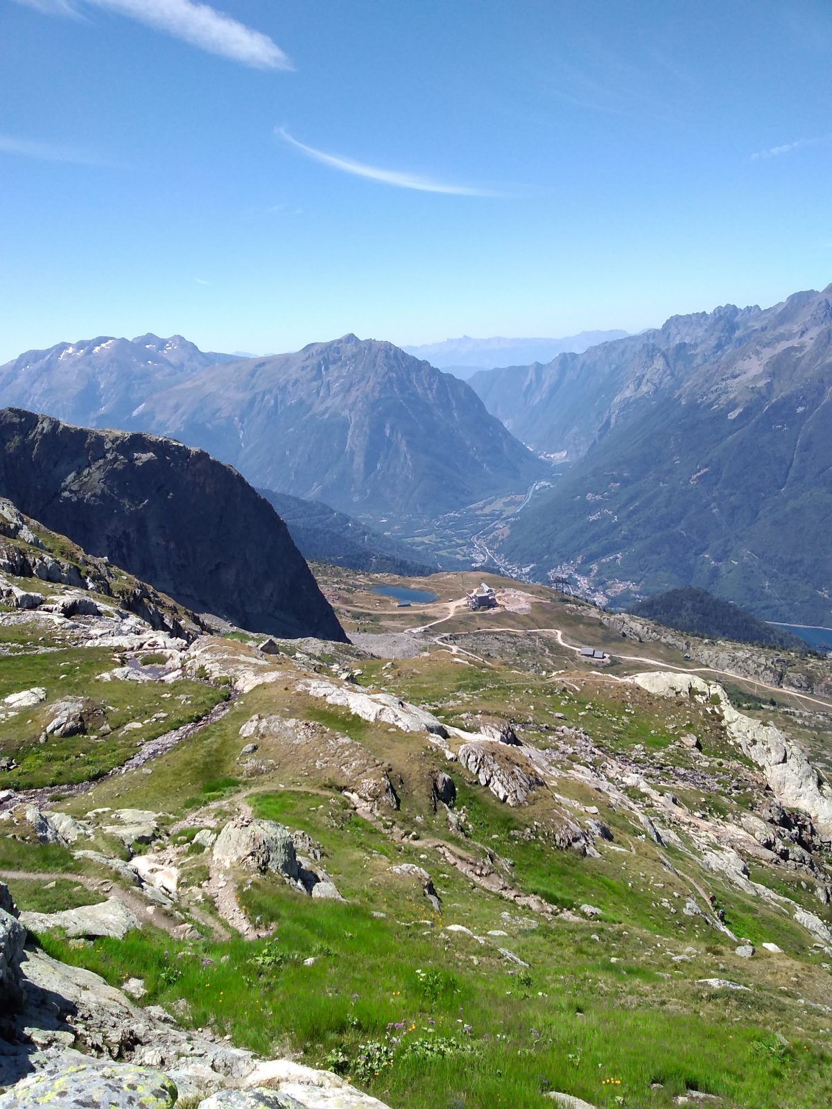
The 3 hikes, which vary in length depending on where you start, will all take you to the Alpette, where a single path winds its way through the scree and rocks in a mineral atmosphere typical of the Oisans region.
In June and September, when the ski lifts are closed, you can choose to start from Oz-en-Oisans, from Vaujany (from La Villette via the Chemin des Jasses) or from Alpe d'Huez (from Lac Besson with the lake crossing).
In July and August: take the Alpette gondola lift from Oz-en-Oisans up to l'Alpette at an altitude of 2050m. There's just 280m to climb.
TECHNICAL INFORMATION
Start: Oz Station - Place de l'Olmet
Difference in altitude: 1024 m
Duration one way: 3h30
Level: medium (physical), difficult (technical)
ITINERARY FROM OZ STATION
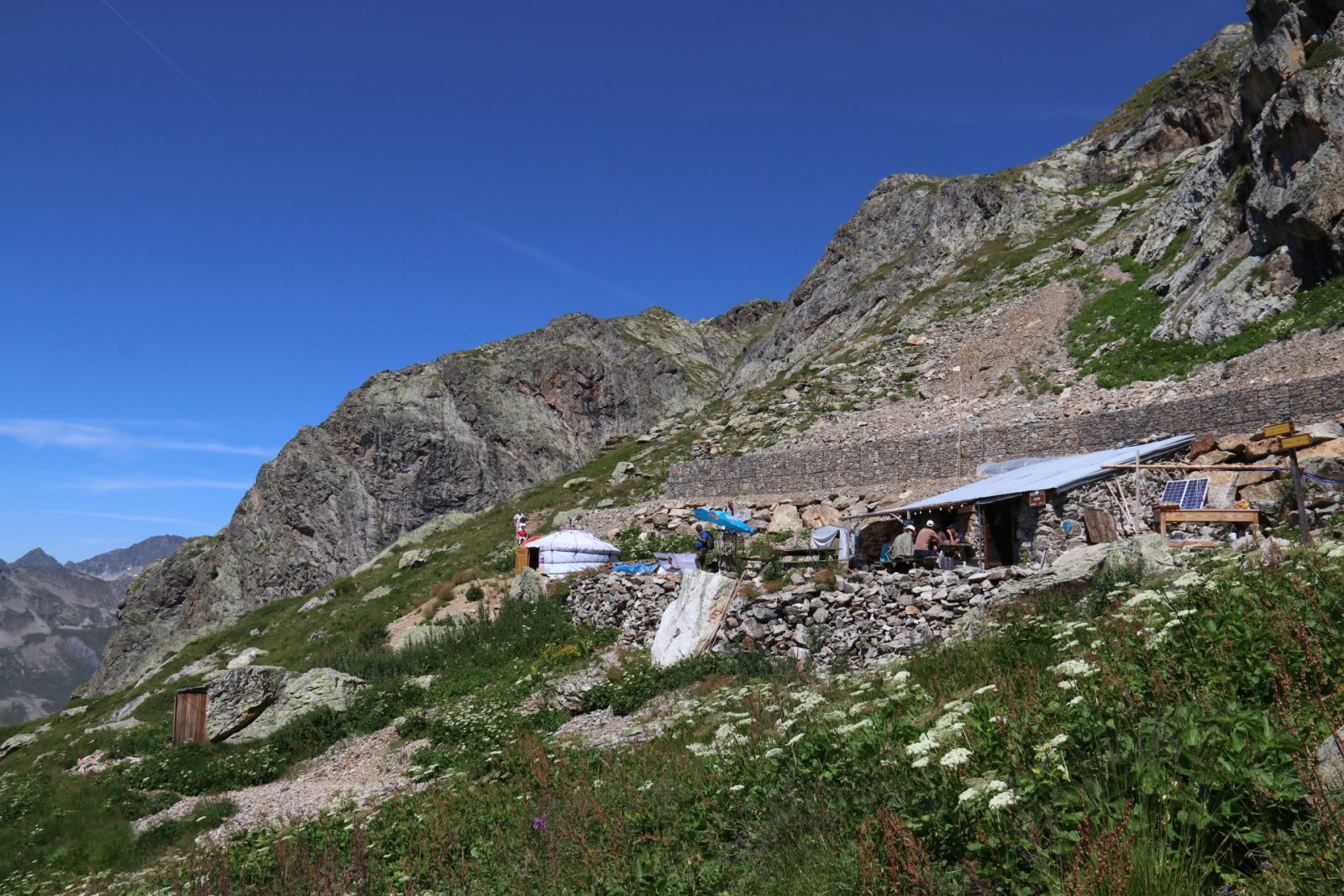
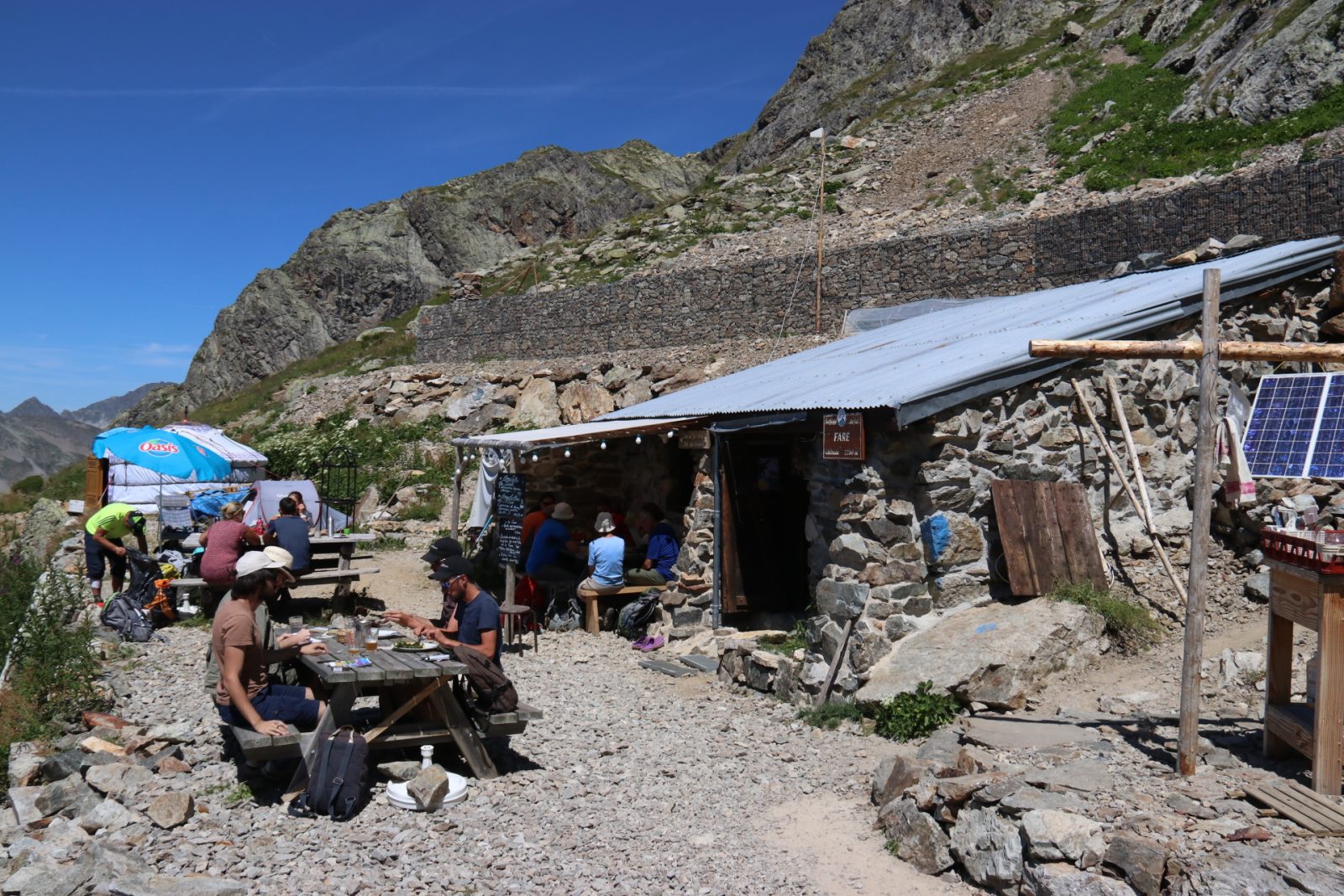
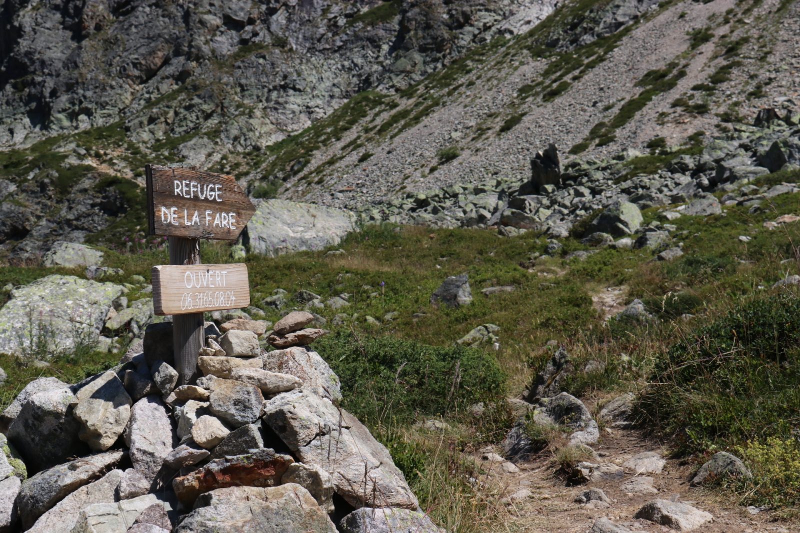
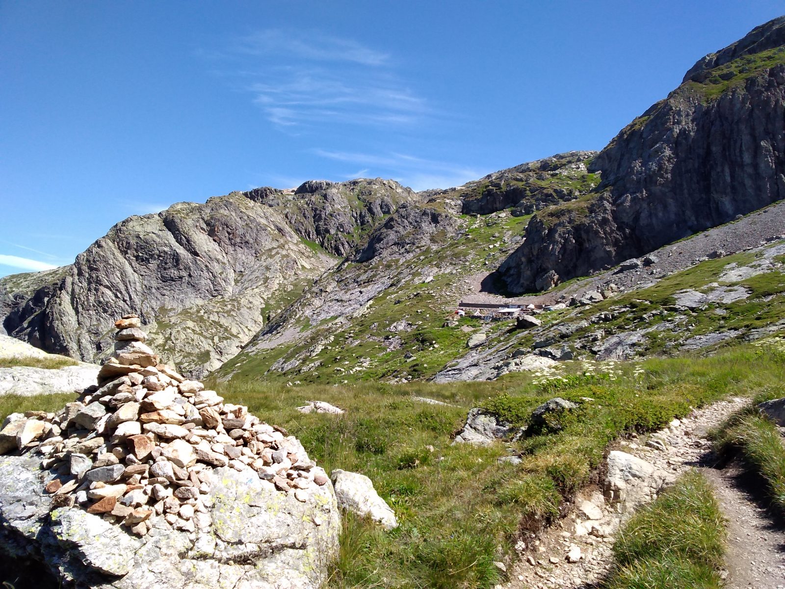
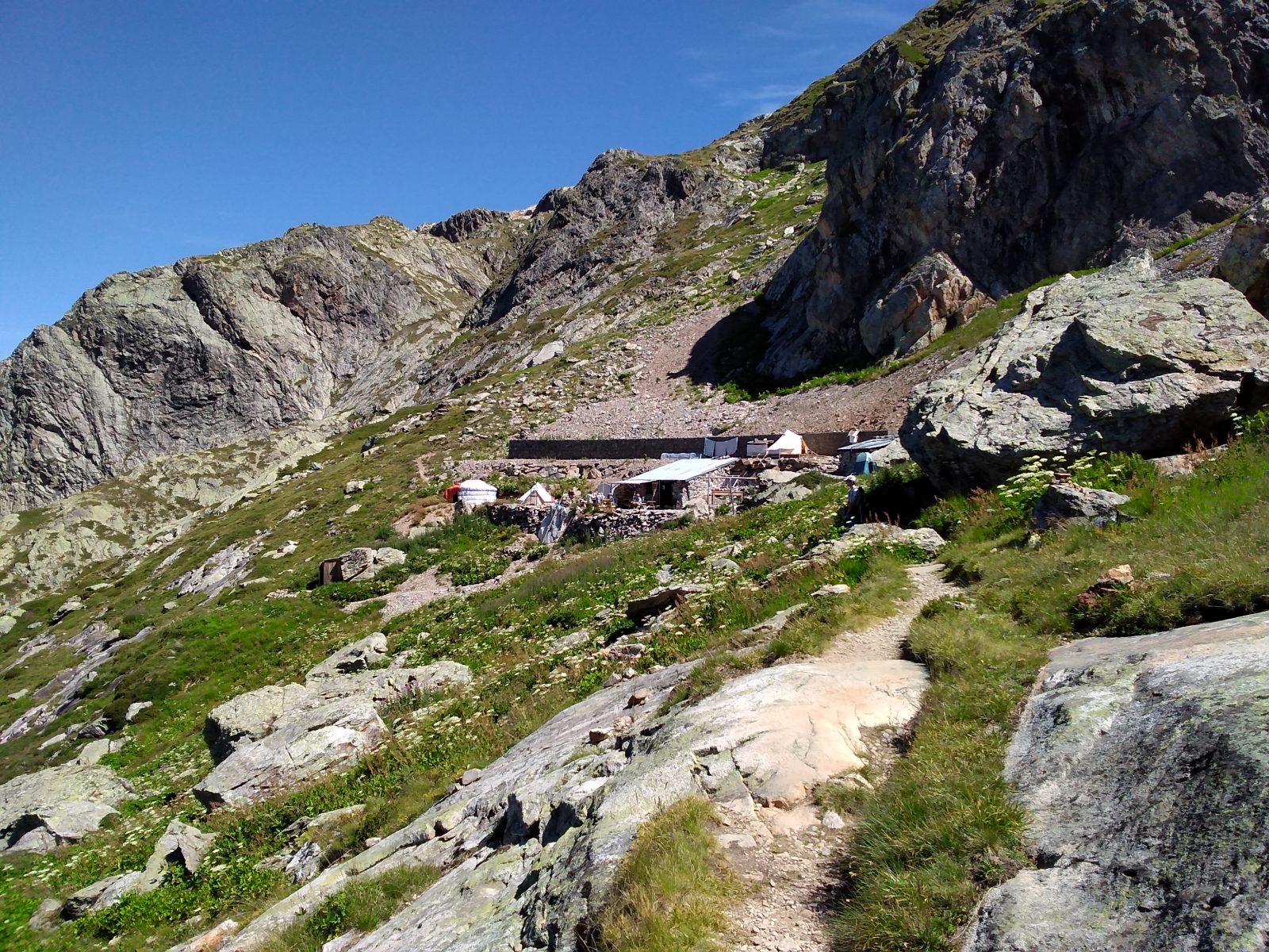
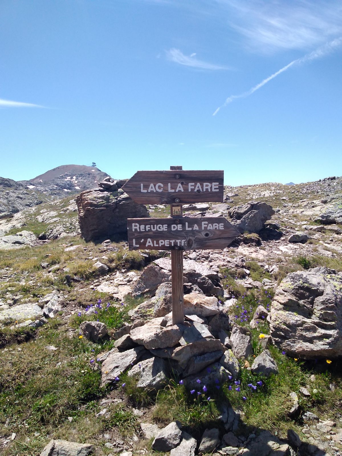
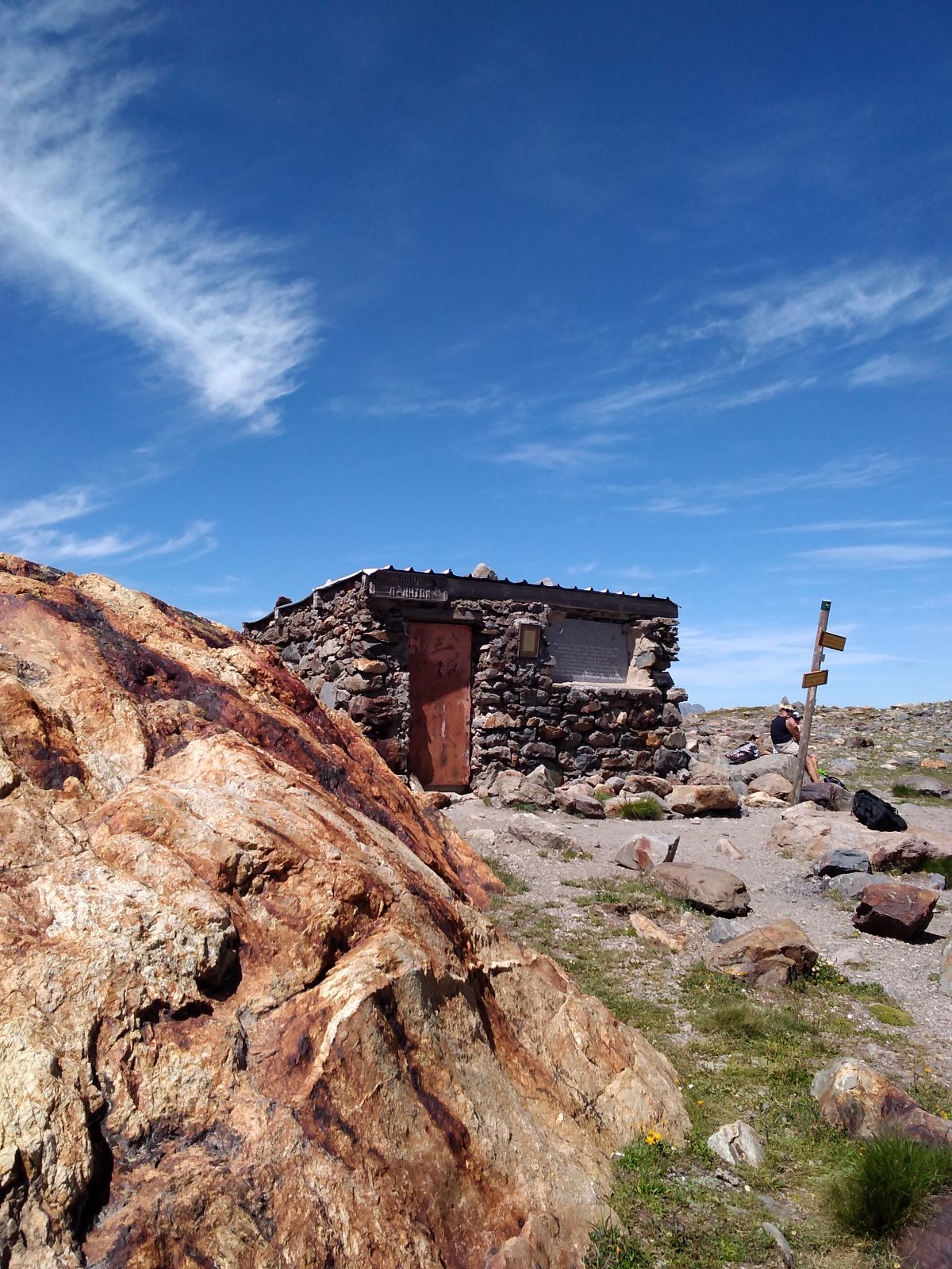
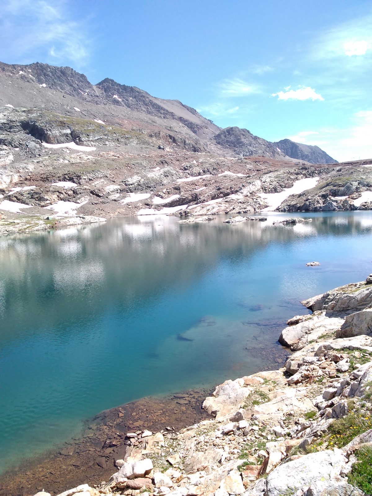
From the Tourist Office, follow the path towards Le Plan du Cerf (passing through the Parc de Loisirs en Forêt at the top of the resort). At the Plan du Cerf crossroads, take the path heading uphill towards l'Alpette. This path winds through forest and alpine meadows. From l'Alpette (2050 m), pass under the cable car that takes you up to Dôme des Rousses. The path returns behind the ‘La Grange’ restaurant. It crosses an area of scree and the passages, some of which are equipped with cables, are quite steep until you reach the refuge. Once there, you can also continue to Lac de la Fare, 340 m higher up.
Perched in the mountain pastures at an altitude of 2280 m, facing the Belledonne Massif, this small 12-person refuge offers a warm welcome to hikers and mountaineers wishing to discover the surrounding mid- and high-mountain routes, between lakes and peaks.
SIGHTSEEING
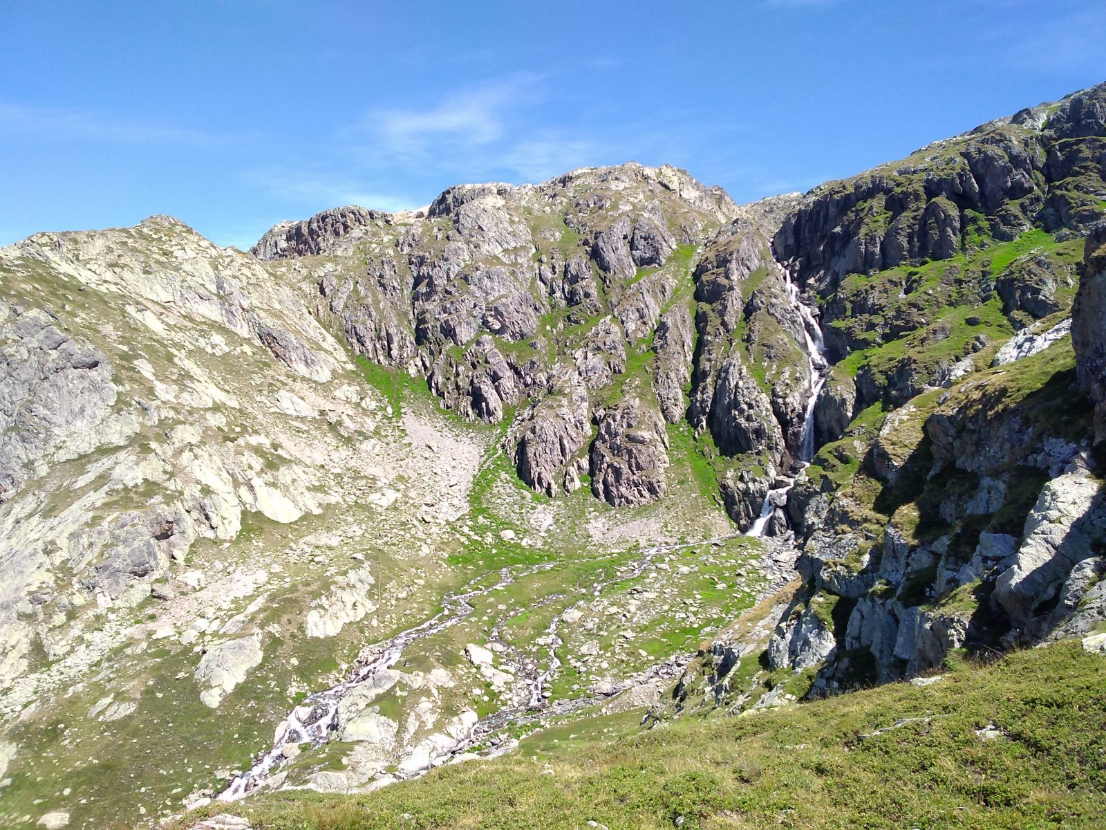
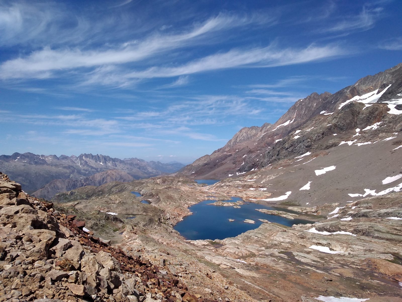
The plateau of lower lakes (lacs Besson, Faucille and Lamat), with its alpine atmosphere, and the plateau of upper lakes (lacs du Milieu, de la Fare, de la Balme and de la Jasse) with its high mountain atmosphere.
THINGS TO REMEMBER
You're on a historic Resistance site! The Oisans Maquis had to move its wounded, who were being treated in a makeshift hospital in a hotel in Alpe d'Huez, as the Germans advanced. They left on 11 August 1944 and arrived at l'Alpette 3 days later. After reaching the Fare refuge and then the Rajon hut on the banks of the lake of the same name, they were able to reach the valley thanks to the liberation of Grenoble by the Americans.
5 panels retrace this episode along the route.ntinue to Lac de la Fare, 340 m higher up.
En bref
3 h 30
J+ : 950 m
6 km
Level red – hard
Map and GPX marking
La Fare Mountain Hut from Oz resort
Oz-en-Oisans
Facilities
- Car park
Services
- Pets welcome
- Restaurant
Services
Tours
- Average duration of the individual tour: 210 minutes
Download
Opening
From 22/06 to 08/09.
Prices
Free access.
This service provider also offers


Location supplement
You can take the Eau d'Olle Express cable car from the village of Allemond to the resort of Oz.