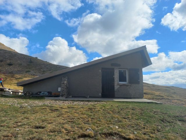
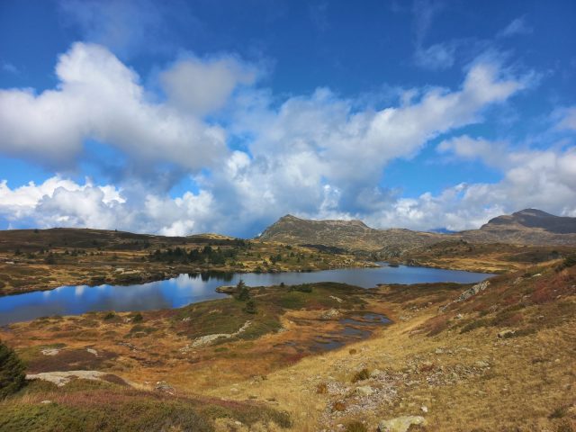
About : Boucle La Grenonière – Refuge du Taillefer – Plateau des Lacs – RANDO
Visitor alert
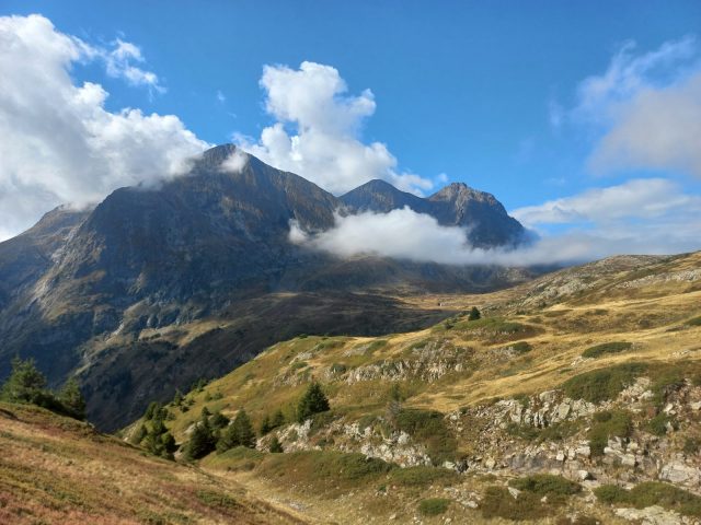
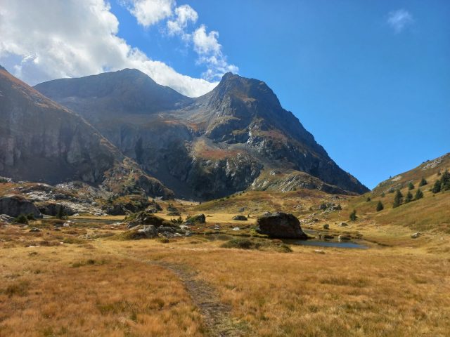
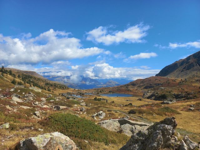
The moors, peat bogs and rocky environments of the Taillefer Massif have been awarded the Natura 2000 label. Remarkable for its biological richness, the site is home to 28 "habitats" of community interest, 5 of which are priorities for conservation.
The Taillefer massif: a remarkable, fragile... and protected site!
The Taillefer Natura 2000 site is an exceptional natural area, which nevertheless remains particularly fragile and vulnerable. As a result, specific regulations apply.
Swimming and camping prohibited
Bivouacs are forbidden except in designated bivouac areas, and only from 7pm to 9am.
En bref
4 h 30
J+ : 781 m
11.6 km
Level red – hard
Map and GPX marking
Boucle La Grenonière – Refuge du Taillefer – Plateau des Lacs – RANDO
Ornon
Facilities
- Car park
Services
- Pets welcome
Services
Activities
- Duration of the session: 270 minutes
Tours
- Average duration of the individual tour: 270 minutes
Download
Opening
From 01/05 to 31/10.
Subject to favorable snow and weather conditions.
Prices
Free access.

