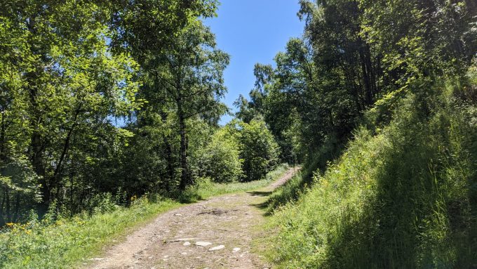
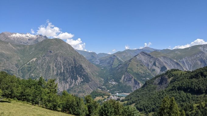
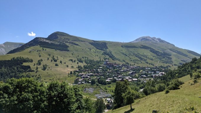
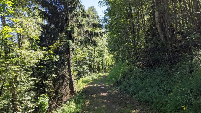
A rolling course for a gentle introduction to the difference in altitude.
About : Trail – La Molière
Dist. : 5,3km
Déniv. + : 180m
Alt. max : 1660m
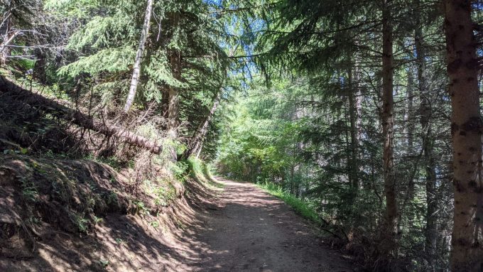
La Molière is the itinerary with the least difference in altitude per kilometre. But it is not flat! A good way to discover the trail, to get into shape or to pace yourself. Bonus: a good part of it is in the forest to keep cool in summer.
En bref
0 h 50
J+ : 180 m
5.3 km
Level green – easy
Map and GPX marking
Trail – La Molière
Les Deux Alpes
Services
Tours
- Average duration of the individual tour: 50 minutes
Download
Prices
Free access.

