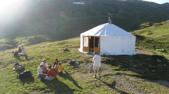
The wetlands of the Taillefer plateau extend over several square kilometres and include several lakes, including the famous Lac Fourchu.
About : The Taillefer plateau and Lac Fourcu (via Le Poursollet)
Starting from Alpe-du-Grand-Serre, take the D114E signposted "Lac de Pousollet". Park at the lake and take the right-hand lakeside path. After passing through chalets, it opens out onto a wide grassy plateau, with the rock faces of the Rocher Culasson on the right. The path gradually gets steeper, climbing up to the Taillefer plateau, where the scenery suddenly changes, offering lovely views over the whole of Oisans. Walk along the right-hand side of the lake and continue up to the Pas de l'Envious, the highest point of the hike, where you can see the Meije and the Aiguilles d'Arves. Then take the left-hand fork and start to descend, walking around the little Lac du Canard. Then follow the edge of the plateau and carry on downwards in the valley created by the Rioupéroux stream. Walk into the forest and continue on the track back to the car park at Lac Poursollet.
Services
Activities
- Duration of the session: 240 minutes
Tours
- Average duration of the individual tour: 240 minutes
Download
Opening
From 01/05 to 31/10.
Subject to favorable weather.
Prices
Free access.
This service provider also offers
Location supplement
Map: Le Pays du Valbonnais / IGN TOP 25 no. 3336OT La Mure


