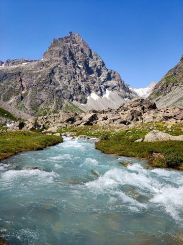
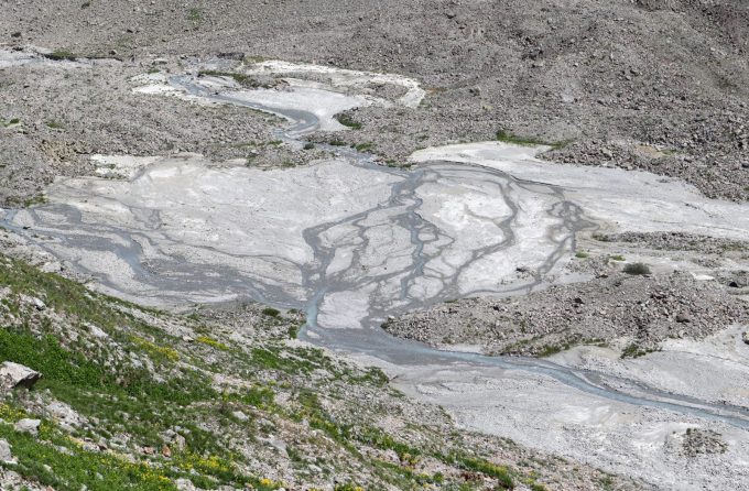
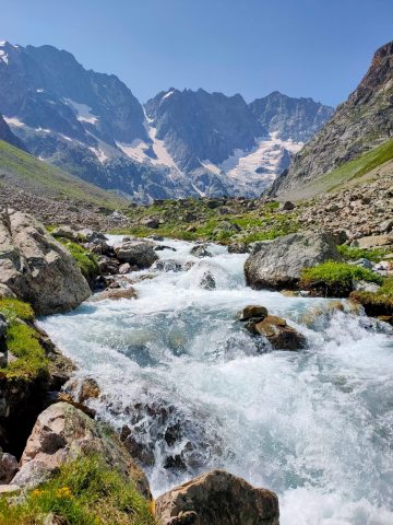
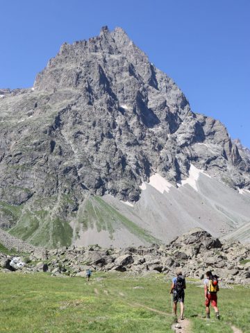
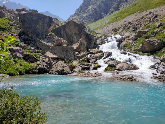
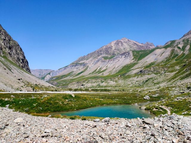
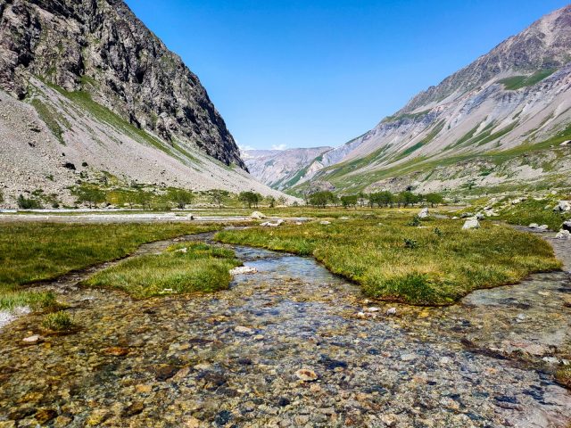
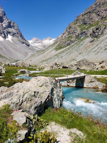
You will walk along the Romanche River all the way to its source. The path takes you through an idyllic valley at the foot of the high mountains of the Ecrins National Park. A gentle stroll in a high mountain setting!
About : The Source of the Romanche River
Start off on the GR 54 trail that climbs a steep hillside offering beautiful views of the valley.
At the junction, take to the right towards the Adèle Planchard Refuge.
The path leads to the Plan de l'Alpe, a gently inclined valley where walking is easy and the views fabolous.
At the Valfourche Bridge, where the valley splits in two, take to the right towards the Adèle Planchard Refuge.
Continue up to the Source of the Romanche River at 2143 m.
Go back the same way.
YOU ARE HIKING IN THE CENTRAL AREA OF THE ECRINS NATIONAL PARK. The Ecrins Massif is an exceptional environment with a rare natural, cultural and landscape heritage. To protect these riches, painted flags (blue – white – red) mark the central area where specific rules apply. Please follow the rules and regulations indicated by the icons on the information board.
En bref
5 h 00
J+ : 480 m
15 km
Level red – hard
Map and GPX marking
The Source of the Romanche River
Villar-d'Arêne
Services
Tours
- Average duration of the individual tour: 300 minutes
Download
Opening
From 01/06 to 31/10.
Prices
Free access.
Pets welcome
The itinerary goes through the Ecrins National Park where dogs are not allowed.
Location supplement
Follow the road sign indicating the Domaine Nordique to get to the start of the hike. Park at the Arsine Bridge or at the Gravière. The dirt track between the Arsine Bridge and the Gravière is rocky and not suited to all types of cars.

