28032392-diaporama
28032393-diaporama
28032394-diaporama
This itinerary takes you to the Refuge Temple Écrins and offers a magnificent panoramic view over the legendary peaks of Les Écrins, a major mountaineering destination.
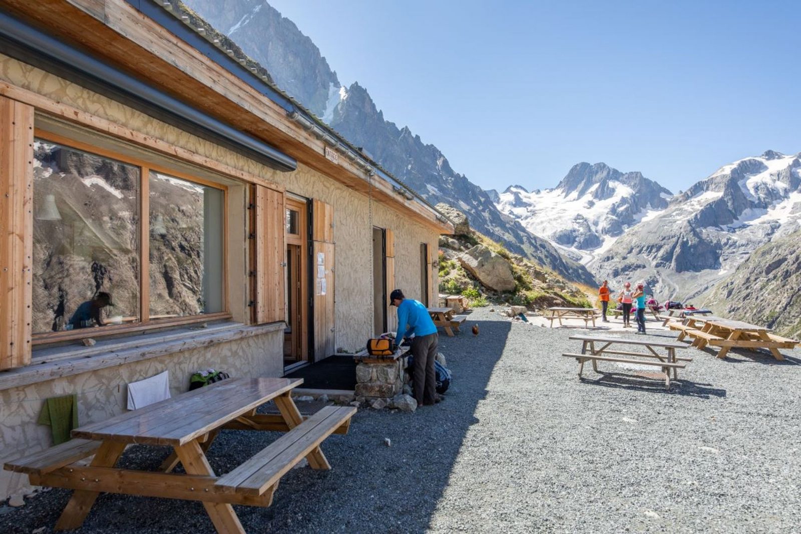
About : The Refuge Temple Écrins
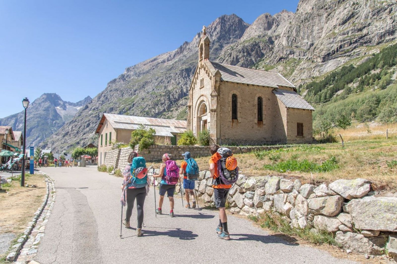
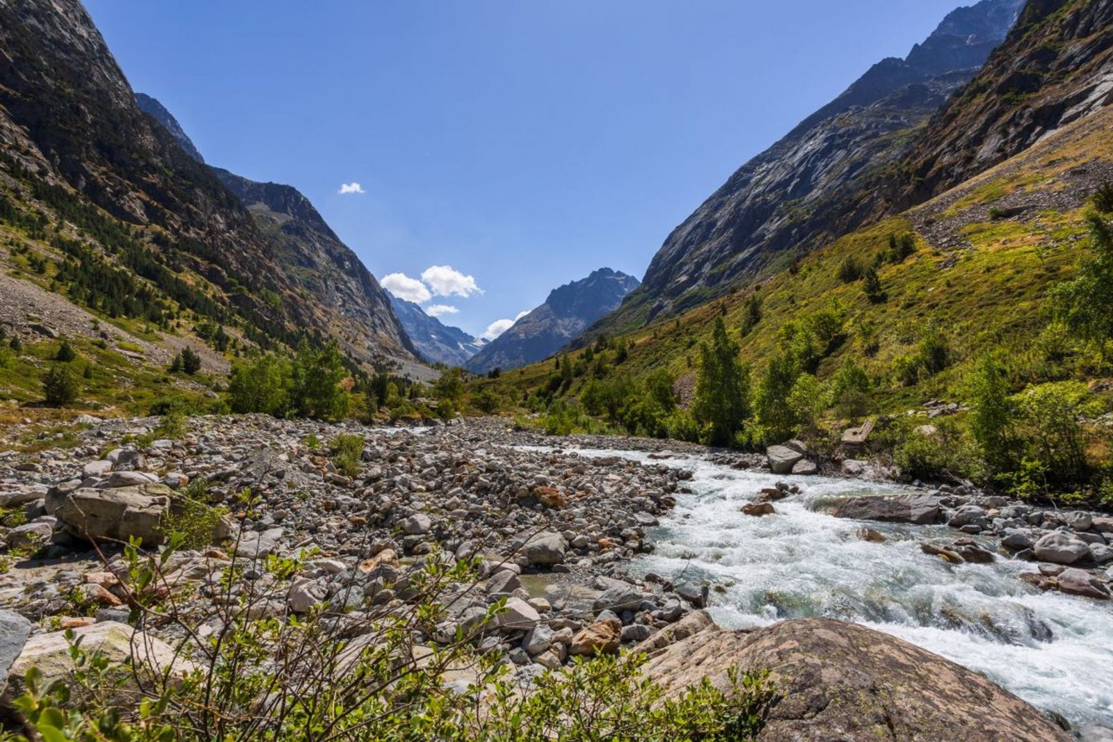
From the FFCAM buildings and the Mountain Centre ("Maison de la Montagne"), join the path running along the Vénéon towards the Refuge de Temple-Écrins (sign). The path gradually rises along the left-hand bank of the Vénéon, running for 4 kilometres along the valley bottom.
Continue past the Refuge du Carrelet and after a short distance, turn left towards the Refuge de Temple-Écrins (sign). You rise steadily through the woods of Le Carrelet, with some large stone steps.
As you emerge from the forest onto grassy slopes, the landscape opens up before you and the refuge is just 15 minutes away.
To return, follow the outward route in reverse.
Welcome: Hard
En bref
4 h 15
J+ : 696 m
12.78 km
Map and GPX marking
The Refuge Temple Écrins
Saint-Christophe-en-Oisans - La Bérarde
Services
Activities
- Duration of the session: 255 minutes
Tours
- Average duration of the individual tour: 255 minutes
Download
Prices
Free of charge.
Location supplement
Departure : La Bérarde.
Arrival : La Bérarde.
From Bourg d'Oisans or from La Grave, take the D1091 and then the D530 following signs to Vénosc. Continue straight on until you reach La Bérarde. During the winter, the road is closed to traffic between Champhorent and La Bérarde. The hamlets of Les Étages and La Bérarde are therefore cut off during this period, the duration of which varies according to snow conditions. To contact the Departmental Council: +33 (0)4 76 80 03 48.
Parking recommended : Car park in La Bérarde .
Grenoble bus station: +33 (0)4 76 87 90 31
Transisère: +33 (0)820 08 38 38 / http://www.transisere.fr/
Lines 3000 & 3030 run between Grenoble and Bourg d'Oisans. Then, line 3040 links Bourg d'Oisans and La Bérarde.