24074234-diaporama
24074236-diaporama
24074237-diaporama
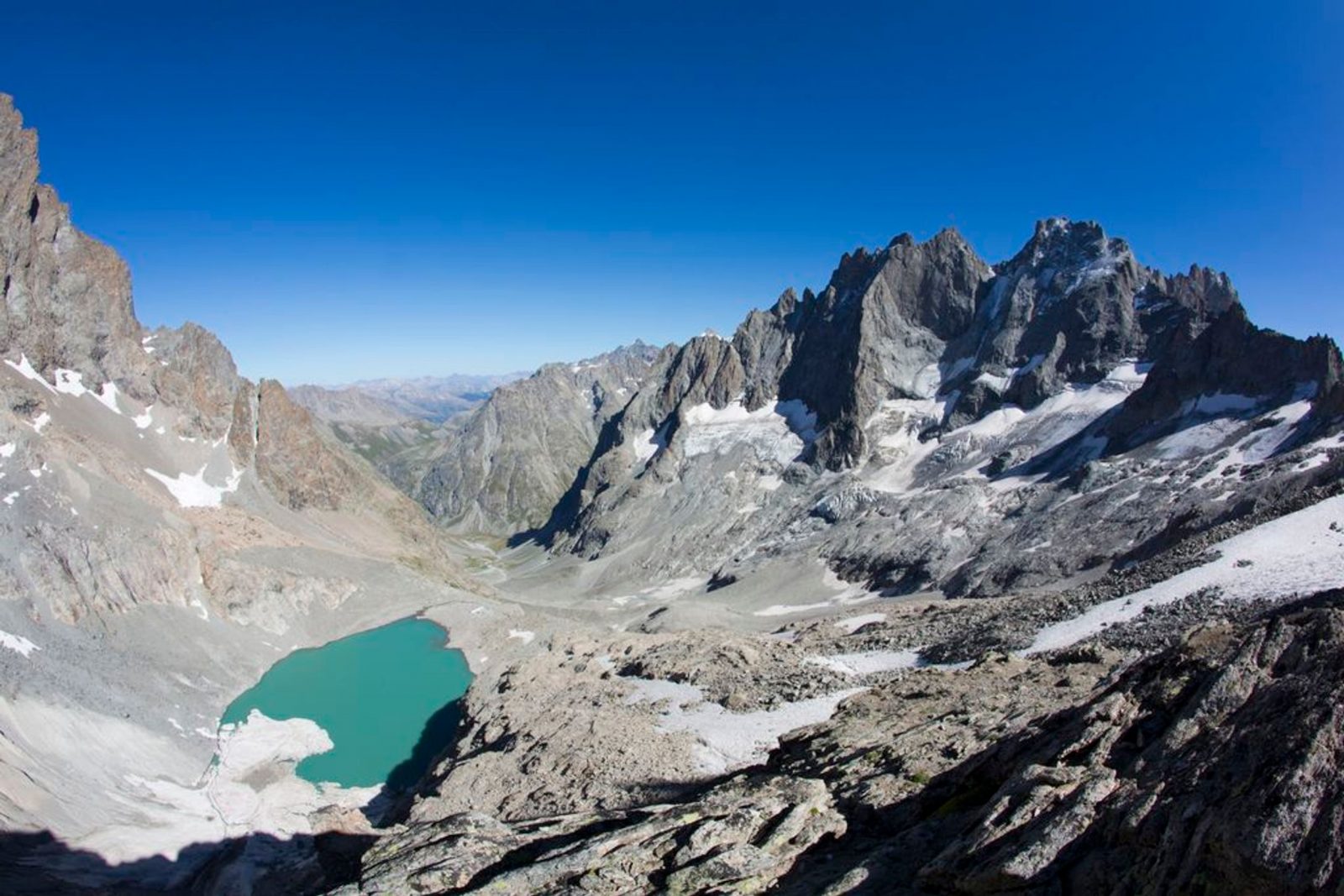
A hike for immersion in incredible alpine landscapes, where the goal is to discover the Pavé lake. Life, at an altitude of 2800 m.
About : The Pavé refuge from Villar d’Arène
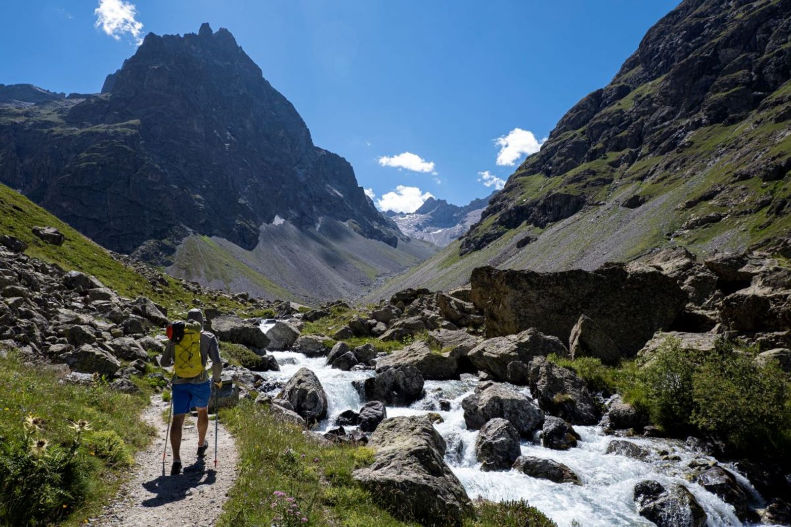
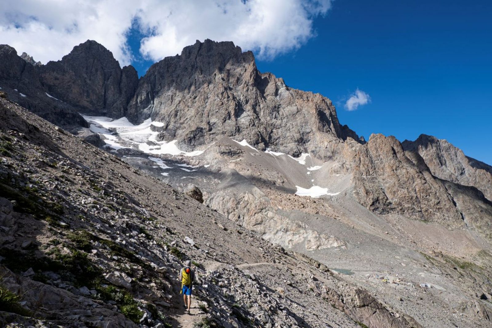
From the start, it's carparck at arsine, the footpath to the Pavé mountain refuge first follows the very popular footpath to the Alpe de Villar d'Arène refuge (GR54). It leaves this path at the summit of the glacial cross-cliff that the locals call "Les voûtes". It then goes alongside the Romanche on the right bank for 2 km of the Plan de l'Alpe, which was previously of interest for the construction of a hydroelectric dam. At the Valfourche bridge that marks the entrance to the heart of the Parc National des Ecrins, the route then crosses to the left bank. It leaves the Romanche valley to go up to the Cavales valley, along the edge of the stream of the same name, until it reaches Les Pichettes, where the alpine meadows end. The valley is then purely mineral. The footpath follows the ridge of the remarkable moraine, up to just below the Clot des Cavales pass in order to circumvent a series of rocky ledges and leads to the Pavé lake and refuge.
Welcome: Hard
En bref
4 h 00
J+ : 1203 m
10.85 km
Level black - very hard
Map and GPX marking
The Pavé refuge from Villar d’Arène
Villar-d'Arêne
Services
Tours
- Average duration of the individual tour: 240 minutes
Download
Opening
From 01/06 to 31/10.
Subject to snow conditions.
Prices
Free of charge.
Location supplement
Departure : Villar-d'Arêne.
Arrival : Col du Lautaret.
From La Grave, take the D1091 towards Villar d'Arène. Turn right onto the D207.
Parking recommended : Arsine .
Bus route Grenoble - Briançon, via le col du Lautaret (ligne express régionale : LER 55).