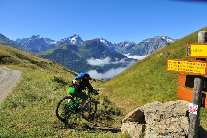
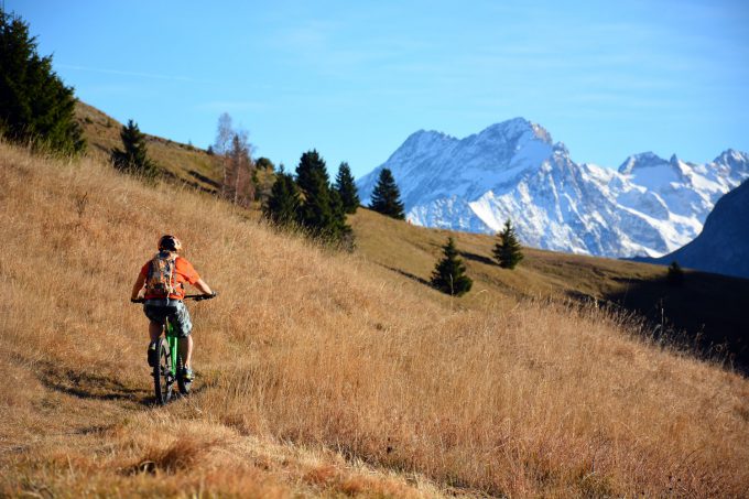
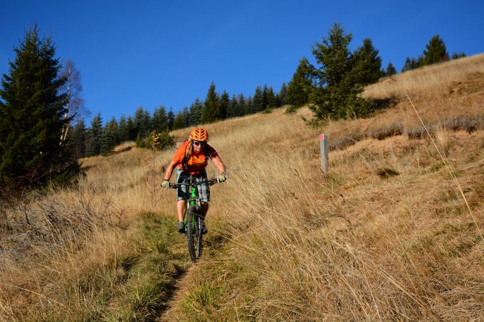
This typical cross-country loop winds its way along the balcony paths of Auris. This is a pleasant, south-facing route, where you can explore some interesting single tracks, ride through unspoiled hamlets and enjoy amazing views over La Meije.
About : The Auris loop
Itinerary from the "VTT en Oisans" guide (Oisans Tourisme)
Start/finish (loop): Auris-en-Oisans (resort), 1,600 m
Duration: 3h30
Distance: 16 km
Highest point: 1,800 m
Lowest point: 1,298 m
Elevation gain: + 710 m
Negative altitude difference: - 710 m
Technical: 3/4
Endurance: 3/4
Map: Top 25 Bourg d'Oisans et l'Alpe d'Huez 3335 ET
ITINERARY
> From the Orgières parking lot in Auris, follow the signs for "Plancet" downhill to the right. The start of the trail is below the caravan park. Cross the beautiful spruce forest on a narrow path with a rather downhill profile for 2 km.
> When you reach the Piégut ridge, turn left down a straight, steep path to Plancet. You pass the small picnic area at Plancet and shortly afterwards, don't miss the intersection that takes you back to the hamlet of Certs. Cross the fence to the left and head across the fields to Les Certs.
> At Les Certs, cross the hamlet upwards to join a beautiful path that leads up to Les Cours. Cross Les Cours and head up to the Chemin du facteur, which takes you to the Croix de Trévoux. From here, join the road and turn left to reach the hamlet of Puy-le-Haut.
> From Le Puy, head for the Col de Cluy via the Chemin du Lauzat, then the 4x4 track that takes you past the Perchoux barn. The climb to the Col de Cluy (5 km, 500 m D+) is a fine one. Alternatively, you can shorten the climb by heading straight for the St-Giraud chapel on the 4x4 track.
> Just before reaching the Col de Cluy (1800 m), turn left onto a small grassy path that descends towards the Chapelle St-Giraud.
> Just before reaching the road, take the small path leading up to the chapelle St-Giraud. Pass behind the chapel and follow the path back to Auris, overhanging the road.
En bref
3 h 30
J+ : 710 m
16 km
Level red – hard
Map and GPX marking
The Auris loop
Auris-en-Oisans
Services
Activities
- Duration of the session: 210 minutes
Tours
- Average duration of the individual tour: 210 minutes
Opening
From 01/06 to 31/10.
Subject to favorable snow and weather conditions.
Prices
Free access.
Location supplement
Leave your car in the Auris-en-Oisans car park.


