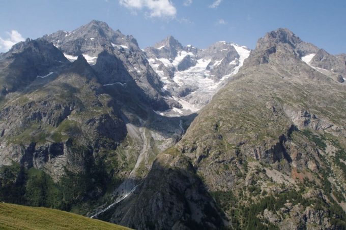
A long ascent around the Massif du Combeynot for a full day’s hike towards the lakes of the Arsine glacier corrie.
About : The Arsine corrie via the Crevasses path
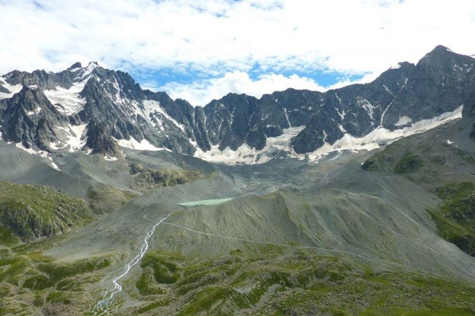
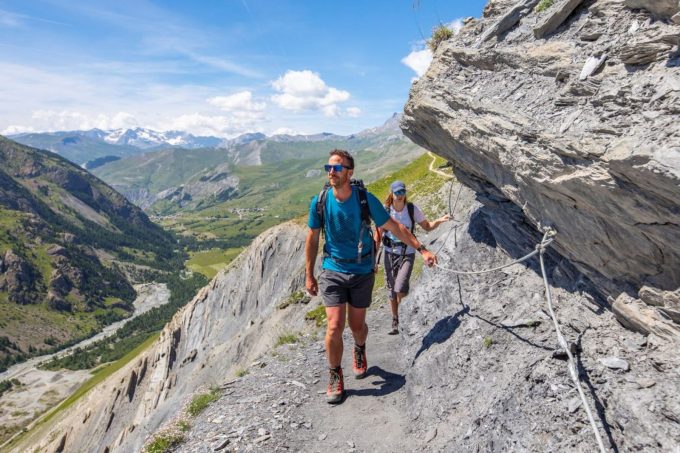
From the car park below the Col du Lautaret, make your way up and you will soon arrive at a crossroads. Take the right-hand fork and leave the Laurichard path. Cross a footbridge and walk up the hillside. The path crosses several streams and areas of bushes leading to a more open space where it arrives at the Belvedere de L'Homme. Soon after, go through (and then close) a barrier before going down the sometimes uneven schist slopes of a path called Les Crevasses, with some care to be taken in wet weather on the slippery terrain. You arrive at the Villar d'Arène mountain pasture and cross the GR 54 near the weather station. Soon afterwards, leave the path leading to the refuge on the right and continue up the Rif de la Planche valley to arrive at the Col d'Arsine along the GR 54. You then leave the GR 54, and turn right to cross the large frontal moraine of the Arsine glacier. From this rise shaped by the movement of glaciers, two large lakes at the foot of a corrie mark the end of the ascent (2,455 m). Take the same route to return to the car park where the trail started. On the way back, you can opt for a variation via the Alpe de Villar d’Arène refuge.
Welcome: Hard
En bref
7 h 30
J+ : 602 m
20.79 km
Map and GPX marking
The Arsine corrie via the Crevasses path
Villar-d'Arêne
Services
Activities
- Duration of the session: 450 minutes
Tours
- Average duration of the individual tour: 450 minutes
Download
Prices
Free of charge.
Location supplement
Departure : Col du Lautaret.
D1091 (Grenoble - Briançon), Col du Lautaret.
Parking recommended : Laurichard car park (at the foot of Serre Orel). .
Grenoble - Briançon bus line via Col du Lautaret (regional express line: LER 35).


