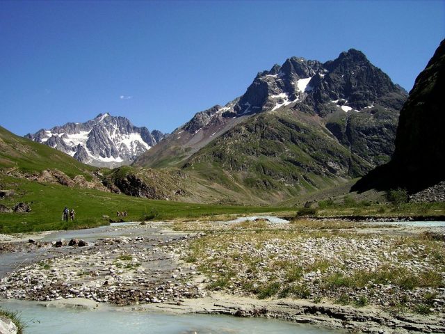
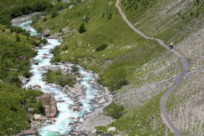
An easy walk to discover the alpine universe with the family within the geographical boundaries of the Oisans and the upper Briançonnais.
About : The Alpe de Villar d’Arêne
From the car park at Gravière, follow the bottom of the valley on the right bank on an excellent path that crosses the Pas d'Anna Falque. The fork that divides the way between the Alpe and Adèle Planchard is well marked. Take the track that goes up to the left, cross the path of crevasses near to the weather station... A little later leave the GR 54 and fork to the right and continue straight ahead until the Alpe refuge at Villar-d'Arêne. Go round the refuge to the right and go down to the crossroads which overhangs the Romanche. Turn right in order to go back down to the Plan de l'Alpe and pass several streams until the path originally used at the beginning. Pick up the path slightly to the left which crosses the Pas d'Anna Falque in order to come back to the car park.
Welcome: Easy
En bref
3 h 00
J+ : 367 m
7.97 km
Services
Tours
- Average duration of the individual tour: 180 minutes
Download
Prices
Free of charge.
Location supplement
Departure : The Arsine bridge, Villar d'Arêne.
From La Grave, take the D1091 in the direction of Villar d'Arêne. Go left on to the D207. At the crossroads, turn right towards Le Palun. Cross the Arsine bridge and park in the car park situated on the right.


