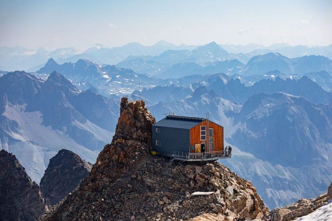
Climbing up to the highest refuge in the massif of Les Écrins is like a mountain run, but here it is mountaineering. The Aigle offers an extraordinary view of the north slope of La Meije. You might treat this as a stage on the ascent of one of the three s
About : Refuge de l’Aigle at the Rocher de l’Aigle (3,450 m)
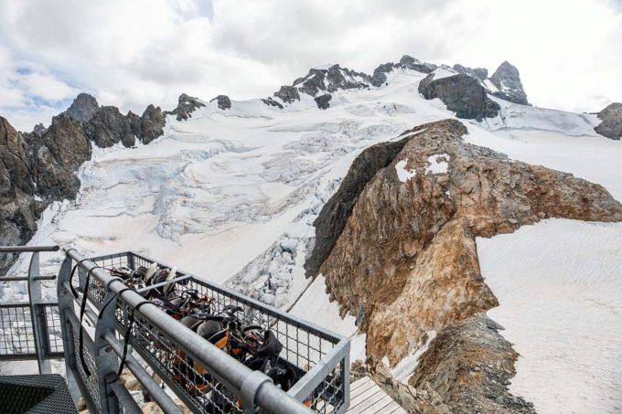
The start of the climb to the Aigle refuge follows a well-marked path as far as the place known as ‘l'Âne’. From there, the path is less obvious. Over rocky slopes and the névés of the Bec glacier, it reaches the col of the same name. The ascent then continues along the north ridge of the Bec de l'Homme before reaching the Tabuchet glacier. The Aigle refuge is not far away.
The descent is by the same route.
Welcome: Hard
En bref
48 h 00
J+ : 2251 m
12.58 km
Map and GPX marking
Refuge de l’Aigle at the Rocher de l’Aigle (3,450 m)
Villar-d'Arêne
Services
Activities
- Duration of the session: 2880 minutes
Tours
- Average duration of the individual tour: 2880 minutes
Download
Prices
Free of charge.
Location supplement
Departure : Villar-d’Arêne.
Arrival : Villar-d’Arêne.
From Villar-d'Arêne, which can be accessed via the D1091 from Le Bourg d'Oisans or Briançon, take the minor D207 road towards Le Pied du Col. At the first intersection turn right and follow this road for 850 metres to the Pont Vieux ou des Brebis car park.
Parking recommended : Pont Vieux or Pont des Brebis car park .


