4637919-diaporama
4637921-diaporama
4637922-diaporama
4637920-diaporama
Take 1500 meters of altitude in a few minutes thanks to the cable cars and go to the discovery of the Plan des Cavales. A nature peeled at the mercy of the vagaries of time.
About : Randonnée : Plan des Cavalles par le Téléphérique
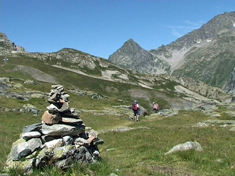
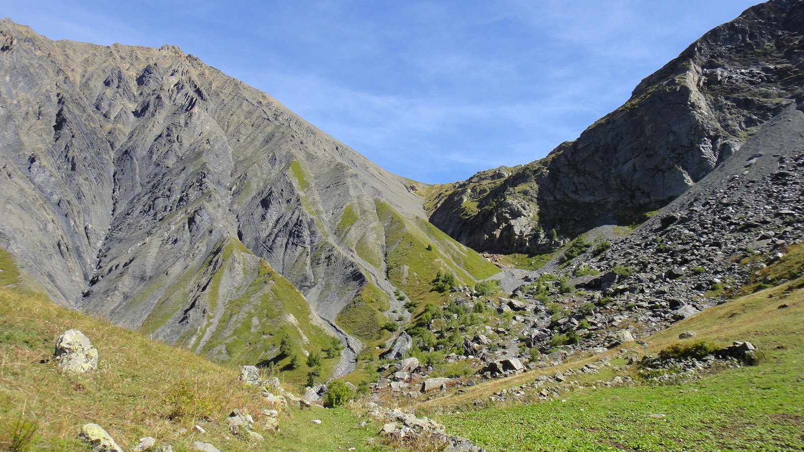
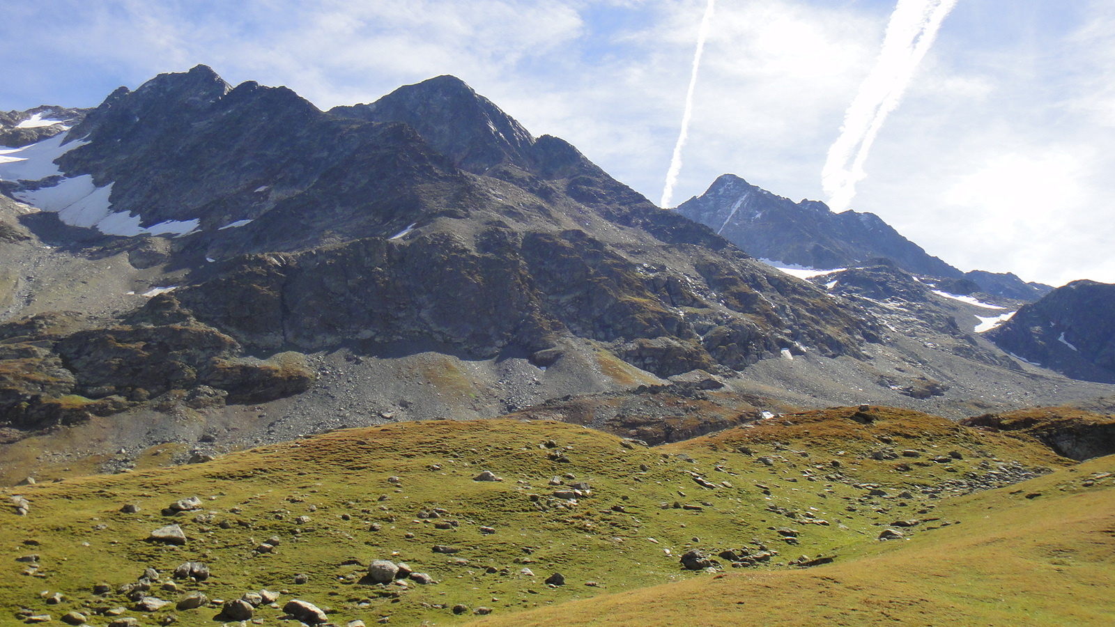
It is a marked trail sometimes difficult to follow, because weather-dependent. He goes through the Plan des Cavales, a balcony suspended at the foot of the Pic de l'Etendard. From the largest to the smallest water point, it is dotted with streams and lakes (La Jasse, Balme Rouse and Fare)
TO SEE ON THE COURSE: Very beautiful sight on the massif of Belledonne, Rissiou and Cornillon.
Guidebook with maps/step-by-step
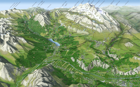
Departure at the Vaujany cable car station. Take the first lift Alpette section 2100 m then second section Domes des Petites Rousses 2800 m. Take the trail on the plateau and along the Middle Lakes towards Lac de la Fare.
Return by the same route.
En bref
5 h 00
J+ : 576 m
14.4 km
Level black - very hard
Map and GPX marking
Randonnée : Plan des Cavalles par le Téléphérique
Vaujany
Services
- Pets welcome
Services
Tours
- Unguided individual tours available permanently
- Average duration of the individual tour: 300 minutes
Download
Opening
From 01/07 to 31/08.
Prices
Free of charge.