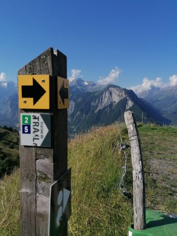
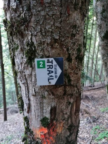
This 8 km loop, with a height gain of 600 m, is a great introduction to trail running in Oisans. Our mountains have been sculpted with knives, so you've chosen the right Trail Centre for training for climbs!
About : Rando trail – n°2 Green – La forêt de l’Ours
Oisans Trail Station Route no. 2 - Villard Reculas Trail centre
TECHNICAL INFORMATION
Departure/Arrival: Villard Reculas
Duration: 1 to 2 1/2 hours
Distance: 8 km
Max. altitude: 1800 m
Mix. altitude: 1200 m
Height gain: 638 m
ROUTE
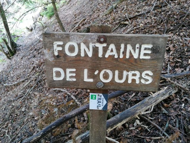
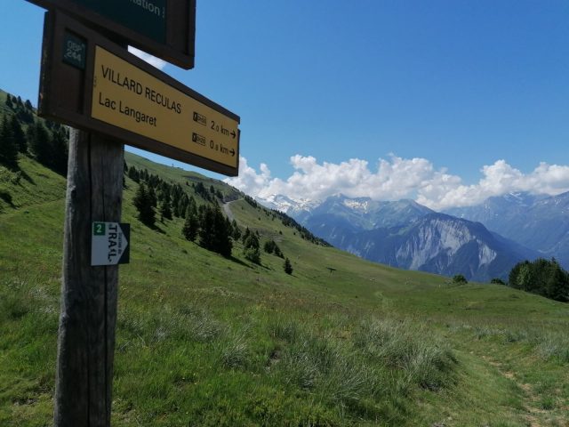
Turn left out of the Tourist Office towards Huez and then head for the War Memorial. The view over Bourg d'Oisans and the Romanche valley deserves a photo stop. Start the run down the vertical kilometre, before going straight on after the little wooden footbridge, along the side of the mountain. Then climb up towards the Foret de l'Ours and onto the path above the road, before joining up with Route no. 3. The very steep climb on the ridge offers magnificent views over Allemond and Oz en Oisans. The descent then takes you over the barely recognisable ski slope of La Forêt. Follow signs for the Lac du Langaret and then take the Chemin des Vaches back down to the Tourist Office.
THE ADDED BONUS: La Bergerie
Just above the path, you'll see La Bergerie, where a shepherd and his family spend four months of the year grazing their sheep in the pastureland surrounding Villard Reculas.
Route created with the website tracedetrail.fr
En bref
French
Car park
Facilities
- Public WC
- Car park
- Defibrillator
- Covered car park
- Parking nearby
- Coach parking
Services
Activities
- Duration of the session: 75 minutes
Tours
- Average duration of the individual tour: 75 minutes
Download
Opening
From 23/05 to 31/10.
Subject to favorable snow and weather conditions.
This service provider also offers
Location supplement
Starting point and arrival : Villard Reculas Tourist Office

