779707-diaporama
779709-diaporama
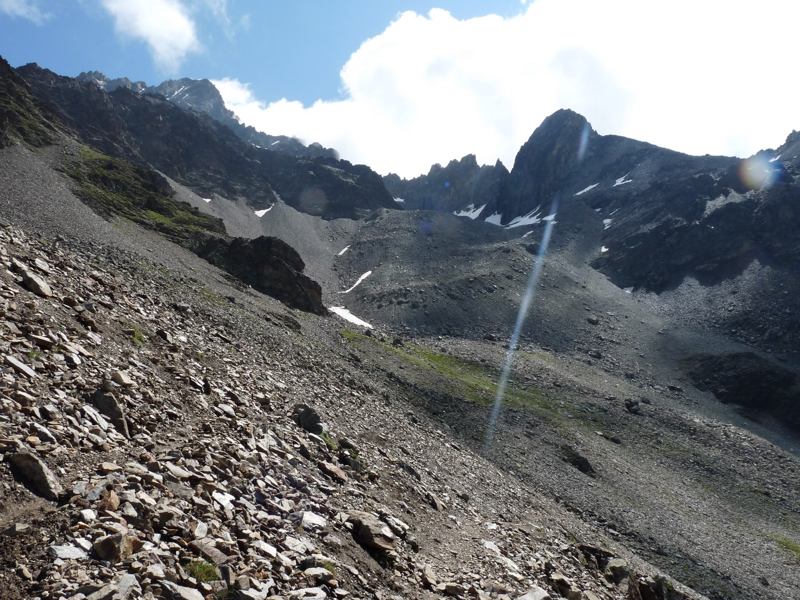
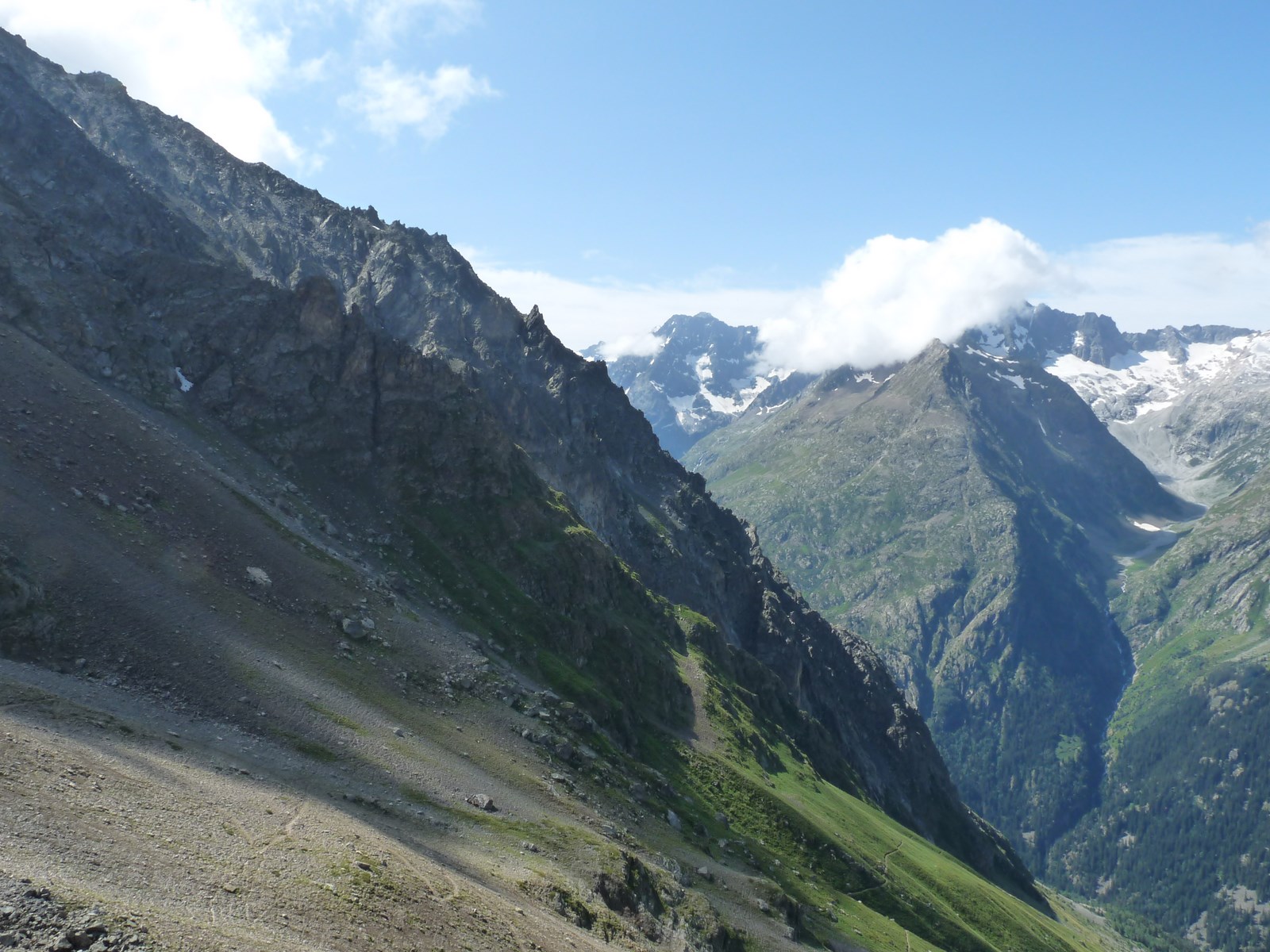
A challenging route above Saint Christophe, under the Aiguille du Plat de la Selle.
About : Plat de la Selle
A circular walk to the foot of the Aiguille du Plat de la Selle above Saint Christophe en Oisans.
TECHNICAL INFORMATION
Starting point: Saint Christophe en Oisans
Height gain: 1000 m
Total duration: 5 hours
Distance: 11 km
Level: Difficult
ROUTE
Park in Saint Christophe and follow the path at the end of the village for Pré-Clot via Cuculet. After Pré-Clot, turn left onto the path leading up to the Plat de la Selle, which climbs steeply up to an altitude of 2500 m. The descent back down to Saint Christophe, via the hamlet of Les Prés, is long and requires care.
DURING THE HIKE
You may come across flocks of sheep guarded by dogs during the summer.
Minimum age: 12 years
En bref
5 h 00
J+ : 1000 m
11 km
Level black - very hard
Map and GPX marking
Plat de la Selle
Saint-Christophe-en-Oisans - La Bérarde
Services
Tours
- Average duration of the individual tour: 300 minutes
Opening
From 01/06 to 31/10.
Subject to favorable snow and weather conditions.
Prices
Free access.
This service provider also offers

Saint-Christophe-en-Oisans - La Bérarde

Saint-Christophe-en-Oisans - La Bérarde

Saint-Christophe-en-Oisans - La Bérarde