23347593-diaporama
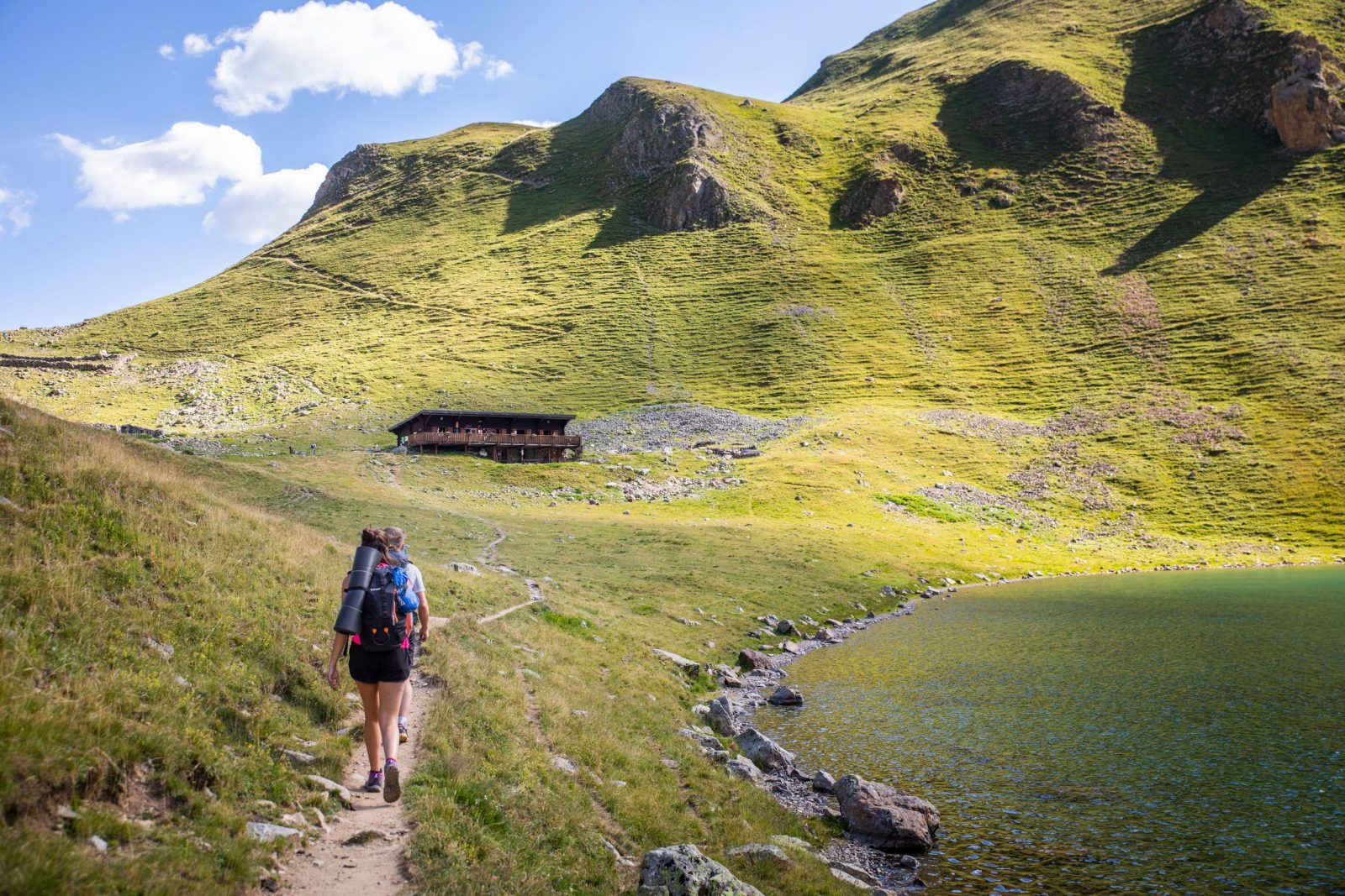
This hike goes through a forest of resinous trees and Beech trees until the refuge and the lake at Muzelle...
About : Muzelle Lake
From the car park which is next to the left bank of the Vénéon just after the bridge, take the narrow road that leads to the end of Alleau hamlet. Go over the little bridge and take the paved path that goes up steeply into the forest. . After a few bends, a long restful crossing enables you to reach "le Cerisier", a group of houses in ruin. Continue on the path which follows the left bank of the Muzelle torrent, these bends lead to waterfalls which are very welcome in times of great heat. When you arrive at the foot of a big shale slope, the track zig-zags across the torrent and there are many bends to reach a beautiful lawn, then a basin full of bog. Arrive finally at a little hill to see the Muzelle lake and its refuge. Go down on the same path.
Welcome: Hard
En bref
3 h 30
J+ : 1212 m
5.69 km
Map and GPX marking
Muzelle Lake
Les Deux Alpes
Services
Tours
- Average duration of the individual tour: 210 minutes
Download
Prices
Free of charge.
Location supplement
Departure : L'Alleau, Vénosc.
From Bourg-d'Oisans follow the D1091, and then take the direction La Bérarde on the D530. At Bourg d'Arud turn right after the bridge over the Vénéon and reach l'Alleau.
Parking recommended : After the bridge at l'Alleau, along the Vénéon river .
Coach stop : l'Alleau