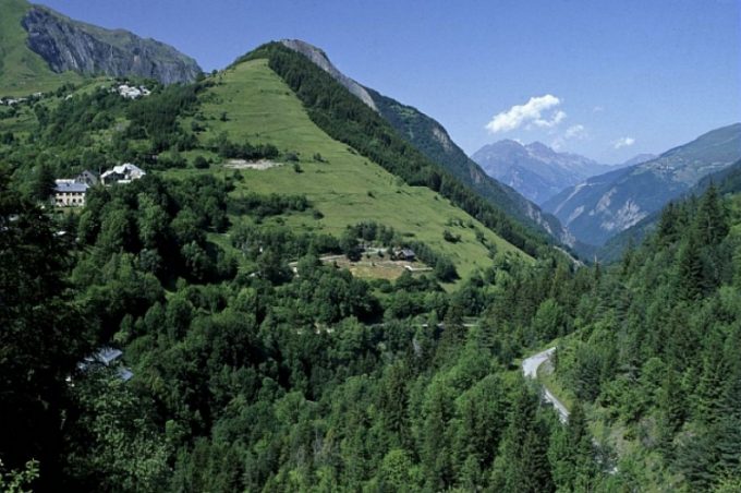
Make sure you hold your children's hands during this forest hike, as the path runs close to a ravine.
About : Le Puy d’Oulles
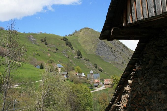
Starting from the tiny village of Oulles, the hike is an opportunity to explore the abandoned hamlet of Le Puy d'Oulles.
TECHNICAL INFORMATION
Starting point: Le Pouillard car park in Oulles
Elevation gain: 265 m
Total duration: 1 3/4 hours
Distance: 4.7 km
Level: Easy
MAP
OBP no.1 (Oisans au Bout des Pieds): path 624
DURING THE HIKE
This is such a steep area that it is best never to leave the path. There is a local saying that the terrain is so steep in Oulles that the inhabitants used to shoe their chickens!
En bref
1 h 45
J+ : 1000 m
4.7 km
Level bue - Medium
Map and GPX marking
Le Puy d’Oulles
Oulles
Services
Tours
- Average duration of the individual tour: 105 minutes
Download
Opening
From 01/05 to 31/10.
Subject to favorable snow and weather conditions.
Prices
Free access.


