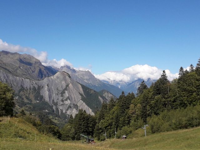
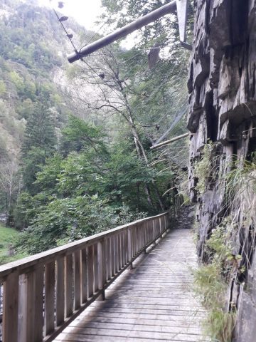
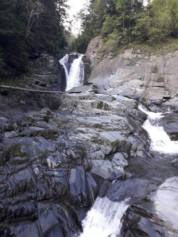
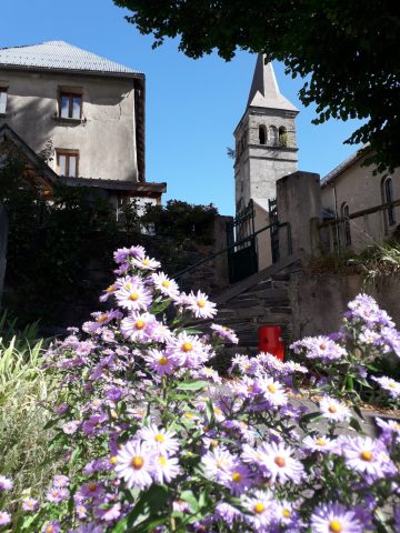
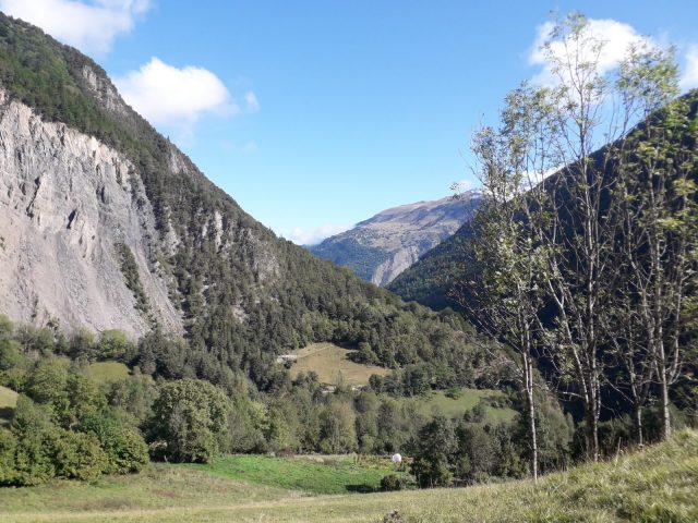
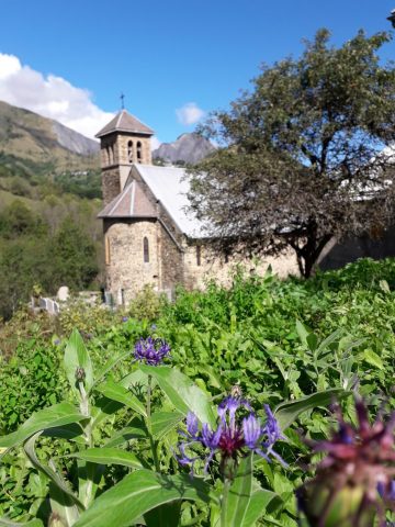
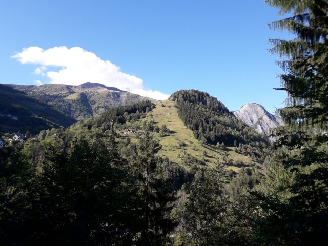
Freshness and forest atmosphere for this hike which will lead you to the Col d'Ornon from where you can admire the Taillefer foothills.
About : Le Bourg-d’Oisans – Col d’Ornon – Hike
TECHNICAL INFORMATION
Start: Entrance to the forest - La Lignarre
Difference in altitude: 592 m
Duration round trip: 4h50
Distance/R: 20,4 km
Level: Medium
MAP AND TOPO
Topo-guide n°1 l'Oisans au Bout des Pieds OBP 661 & 635
ITINERARY
From the entrance to the forest, follow the forest path in the direction of La Palud d'Ornon. From Palud follow the direction of Col d'Ornon via OBP 635. This route will take you via La Poyat, La Poutuire and Le Rivier all the way to the Col d'Ornon. The return route is the same or you can choose the alternative tour as indicated below. On this hike the markings are sometimes a little difficult to find. Often it is just a matter of walking a little further to find the markings again.
ALTERNATIVE
You have the option of making it a round trip instead of a back and fort on the same route. Your route will then be as follows.
CLIMB
From La Palud d'Ornon le haut continue in the direction of the village Ornon. From Ornon a path goes down steeply in the direction of La Poyat. Keep descending until you reach the asphalt road and cross it to continue your path on the other side. In the centre of the village, continue in the direction of La Tour/ La Poutuire/Le Rivier via OBP 635. From Le Rivier continue the path until you reach the Col d'Ornon.
DESCENT
On the Col you descend the same route to Station du Col d'Ornon. From there you go in the direction of Bois du Clot - Le Schuss. When you arrive at Le Schuss, the marking is difficult to find. You walk down through the meadow on the right side of the building and stay on the left side of the meadow. The path goes down steeply on the left in the forest. Arriving at L'Enverset, turn right in the direction of La Tufière and Sapin remarquable. The tree (Sapin remarquable) can be found a few minutes up the path, it is well signposted. Continue your path till Pont des Oulles. Here, cross the road and on the left side take the path behind the fence for a final climb. You are back at Le Poyat from where you take the other descent (OBP 635) to La Palud d'Ornon from where you calmly descend to the starting point.
TECHNICAL INFO ALTERNATIVE
Start: Entrance to the forest - La Lignarre
Difference in altitude: 1498 m
Duration round trip: 8h
Distance/R: 21,8 km
Level: Difficult
En bref
French
Pets welcome
Services
- Pets welcome
- Restaurant
Services
Tours
- Average duration of the individual tour: 290 minutes
Opening
From 01/05 to 31/10.
Subject to favorable snow and weather conditions.
Prices
Free access.

