779671-diaporama
779672-diaporama
10175116-diaporama
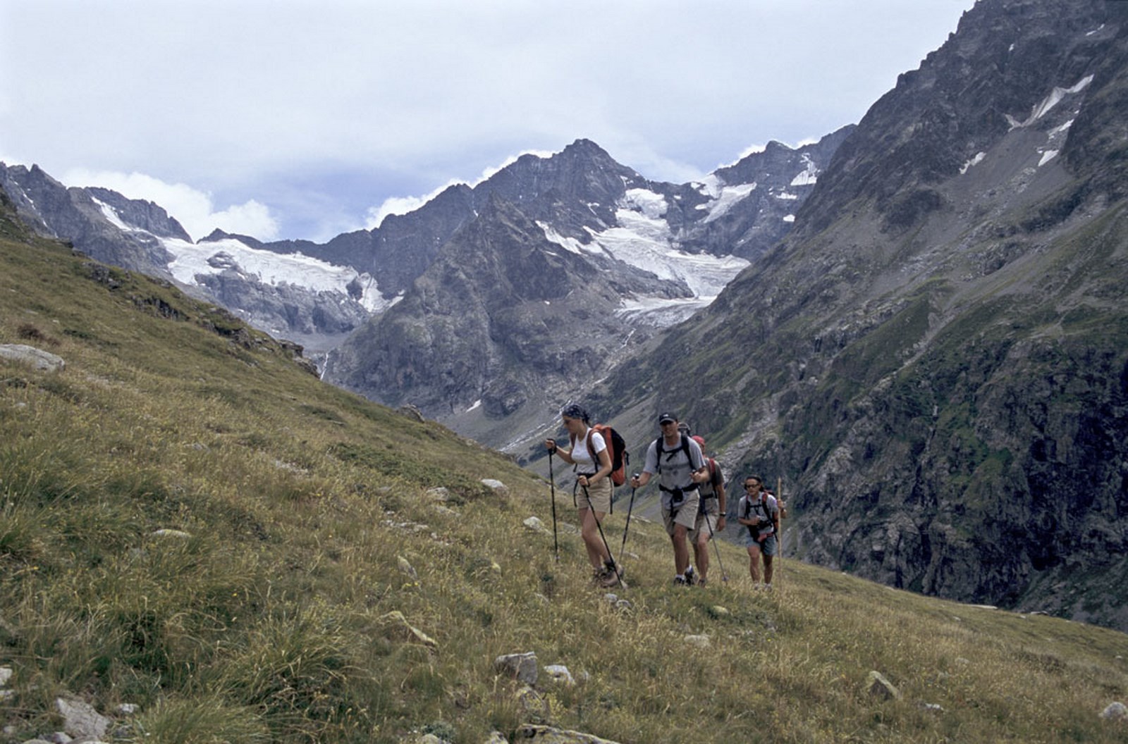
Starting from the Refuge de la Lavey, carry on up the Vallon de la Muande and then take the path up towards the Tete des Fétoules.
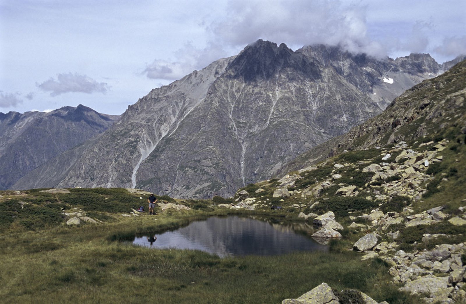
About : Lac des Fétoules by le Refuge de la Lavey
TECHNICAL INFORMATION
Starting point: Refuge de la Lavey
Elevation gain: 452 m
Duration: 2 hours
Distance: 10.8 km
Level: Difficult
ROUTE
After the hut, cross the Muande stream and take the left-hand path signposted Lac des Fétoules. Climb up a series of switchbacks through rockfalls and over grassy slopes up to the lake. The descent is quite steep down to the path leading to the hut. You can also walk back via the Lac des Fétoules on a little-used path along the bottom of the Tête des Fétoules.
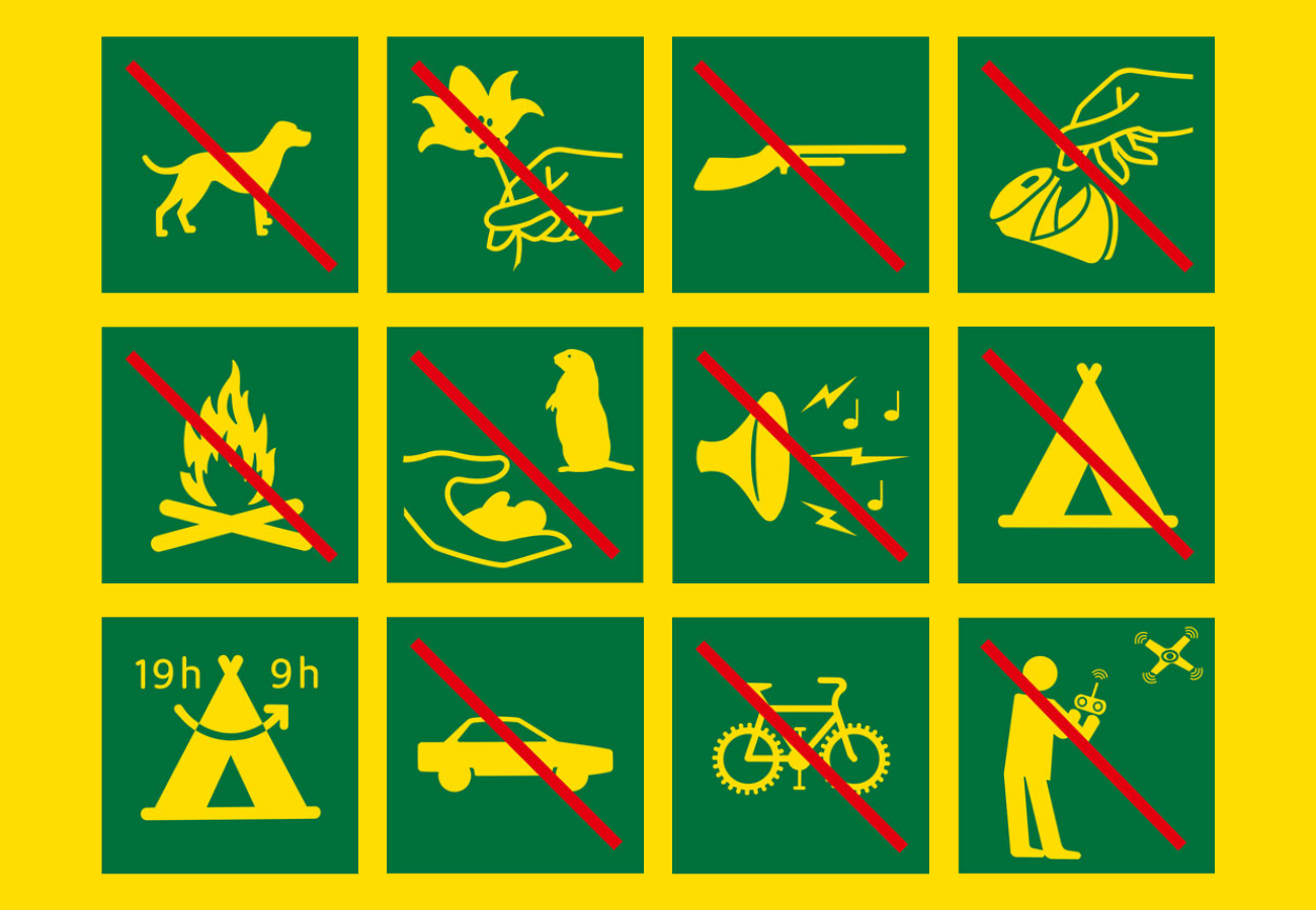
The hike is inside the National Park, so no dogs are allowed (even on a lead).
Tips
The Lavey refuge is guarded from June to September,
ideal to continue your stay towards the lake of Rouies or the lake of Bêches
En bref
2 h 00
J+ : 452 m
10.8 km
Level red – hard
Map and GPX marking
Lac des Fétoules by le Refuge de la Lavey
Saint-Christophe-en-Oisans - La Bérarde
Services
Tours
- Average duration of the individual tour: 120 minutes
Opening
From 15/05 to 31/10.
Subject to favorable snow and weather conditions.
Prices
Free access.
This service provider also offers


Location supplement
To reach the Lavey refuge, park in Champhorent and walk for 2.5 hours.