19082914-diaporama
19082915-diaporama
19082917-diaporama
19082918-diaporama
19082919-diaporama
19082920-diaporama
19082921-diaporama
19082922-diaporama
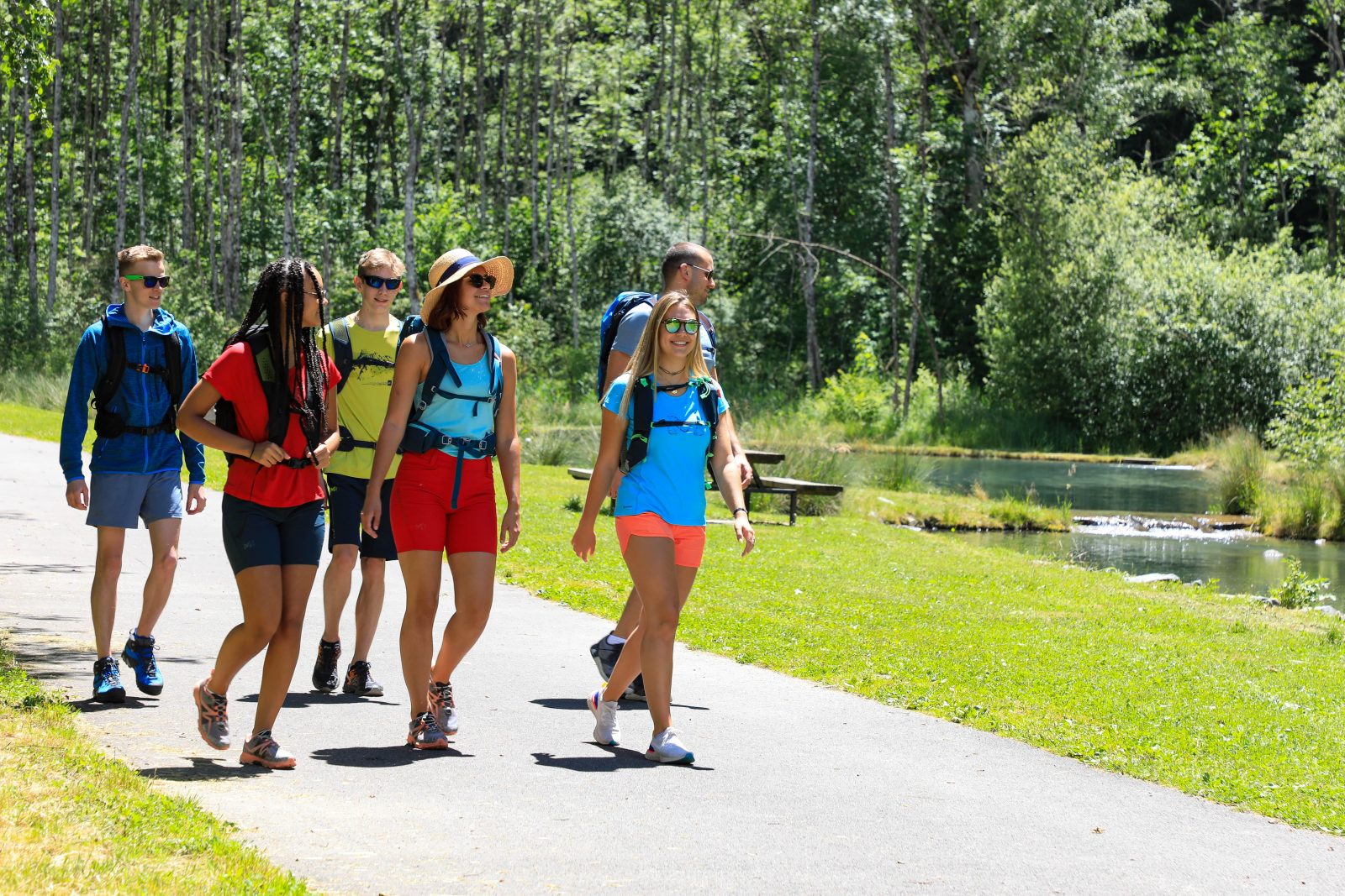
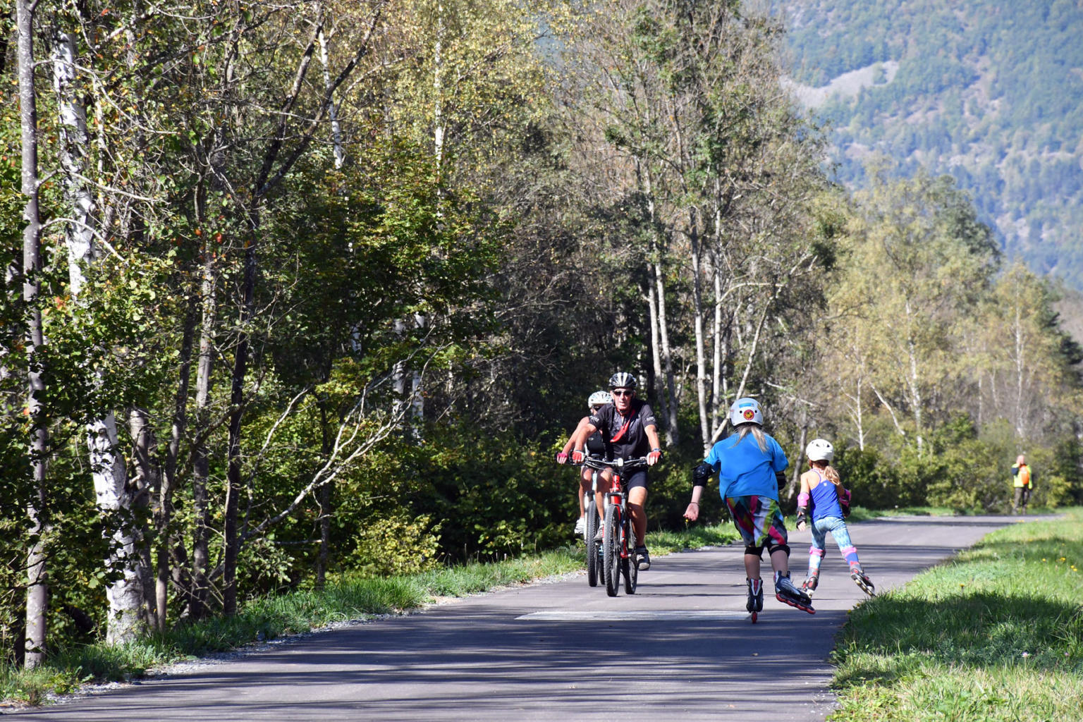
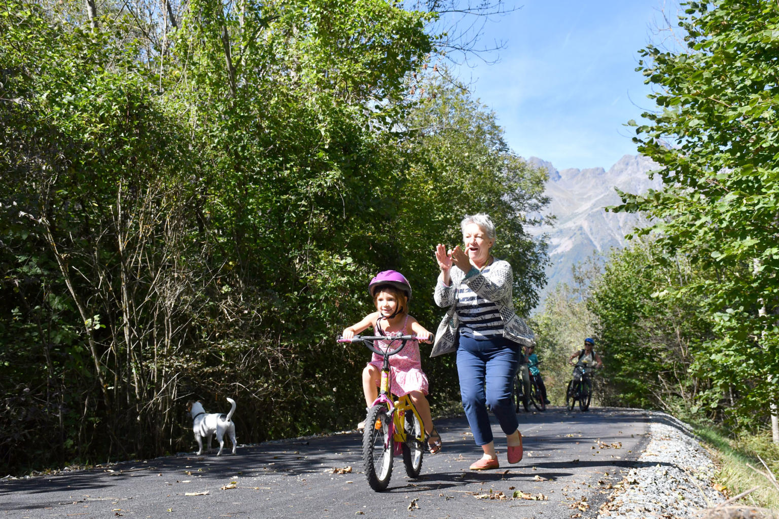
Cyclists and pedestrians will thrive in this secure space, far from the exhausts. Your trips from one valley to another will have a real vacation feel thanks to the greenway!
About : La voie verte au départ de Venosc
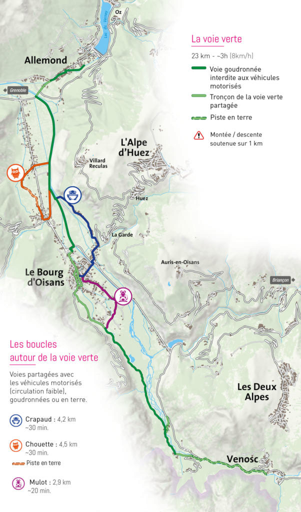
From Venosc to Allemond, via Le Bourg-d'Oisans, the greenway is a real link in the heart of the Oisans region, connecting the 6 valleys and the mythical mountain passes!
Here's your chance to cross the Romanche plain in the company of other users, without the stress of cars!
Don't miss this chance to avoid the main road to discover the Oisans plain, or to visit the various markets.
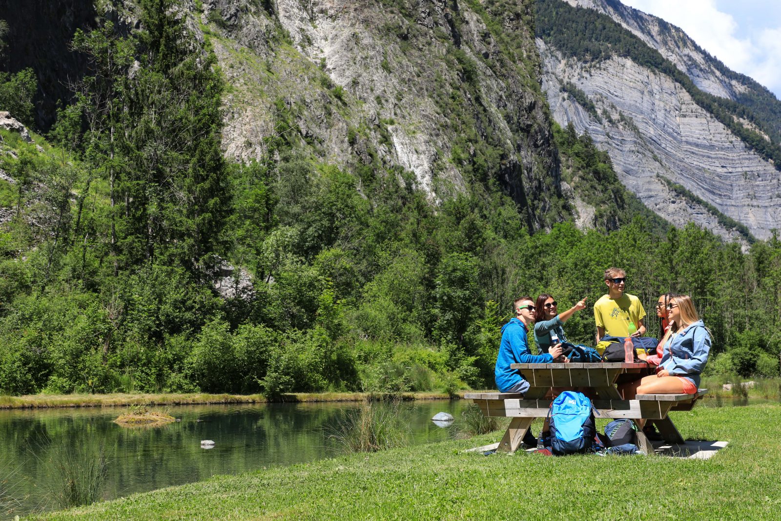
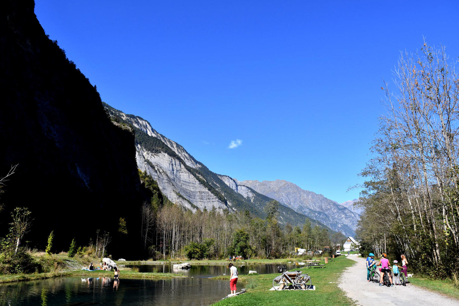
Between Le Bourg-d'Oisans and Venosc, the voie verte runs along the cliff to the Cascade de la Pisse, before winding along the Vénéon. The glacier-blue color will accompany you all the way to Venosc and its artisans.
For a family outing, take the time to stop along the greenway to discover the artisans, producers and museums that are members of the Route des Savoir-Faire.
The Bourg d'Oisans - Venosc section is the only uphill section of the greenway, covering just over a kilometer, but beware of the 30 m difference in altitude!
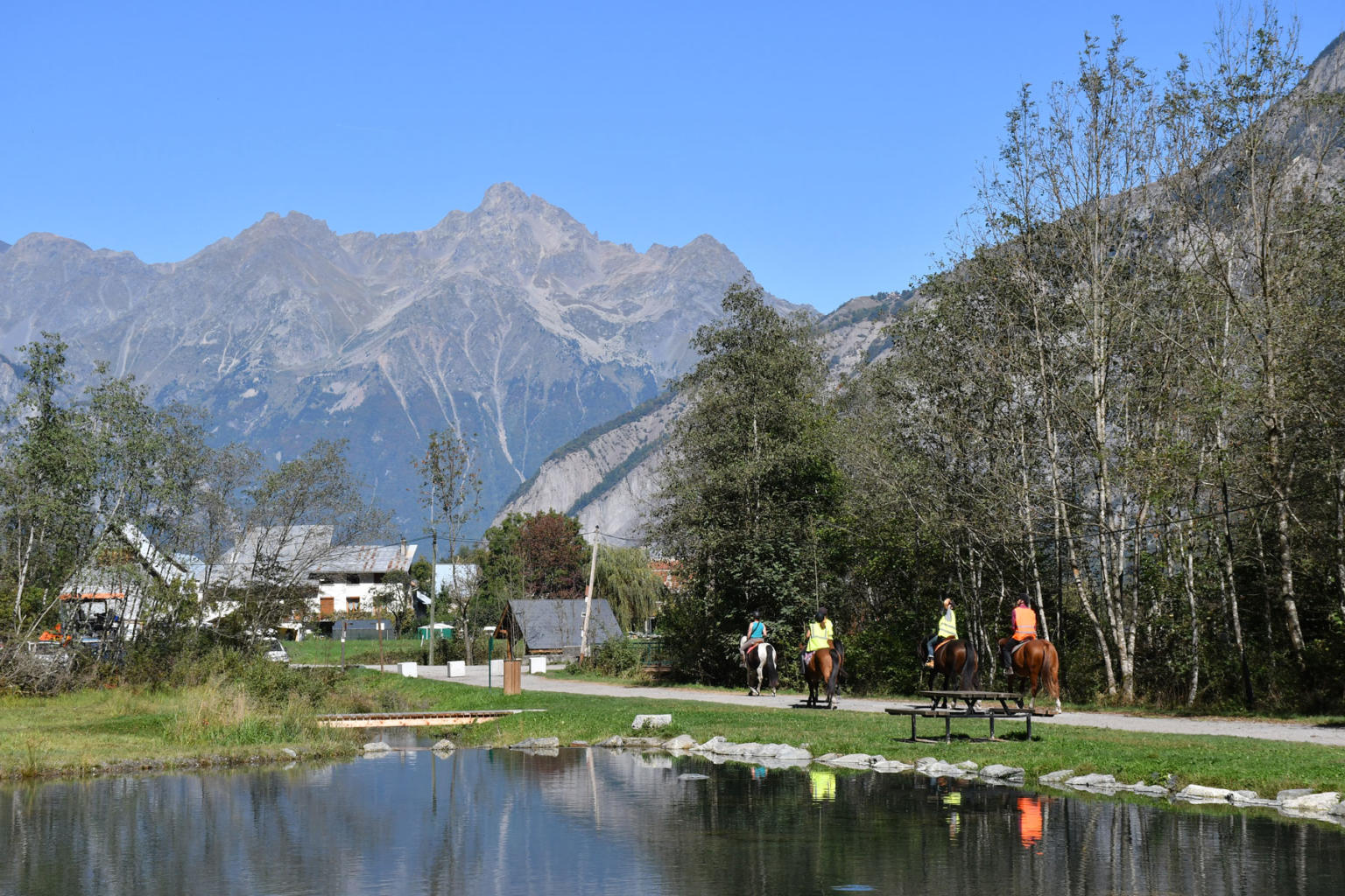
Welcome: A greenway is a safe area solely for use by bicycles, pedestrians and horse riders, etc., excluding any motor vehicles.
Important : Some farmers, workers or locals may have been granted exemptions allowing them to drive on certain sections of the greenway. Please respect both natural and developed areas surrounding the greenway and only place your rubbish in the containers provided for this purpose.
Follow the highway code and take care at junctions.
Water in streams and rivers may rise suddenly due to dams upstream. Do not go to the edge of river banks.
En bref
J+ : 300 m
25 km
Level bue - Medium
Map and GPX marking
La voie verte au départ de Venosc
Venosc
Facilities
- Car park
- Free car park
Services
- Pets welcome
Videos
Opening
All year round.
Subject to favorable weather.
Prices
Free access.
This service provider also offers

