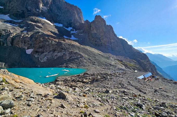
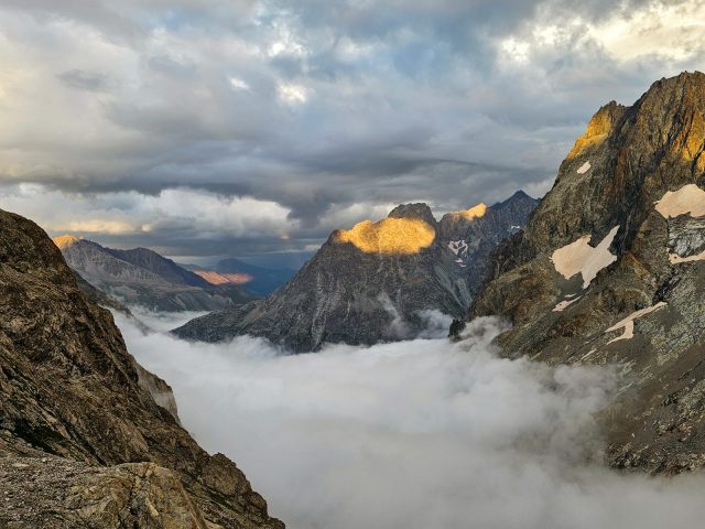
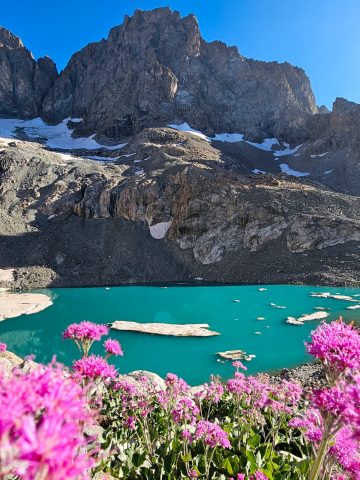
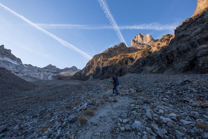
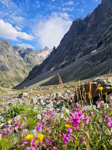
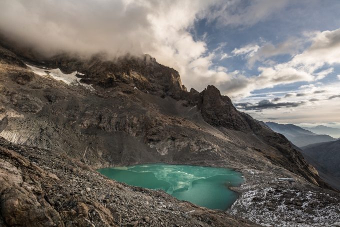
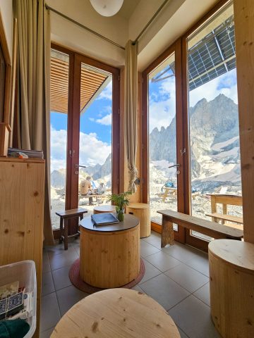
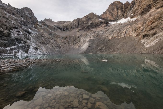
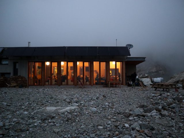
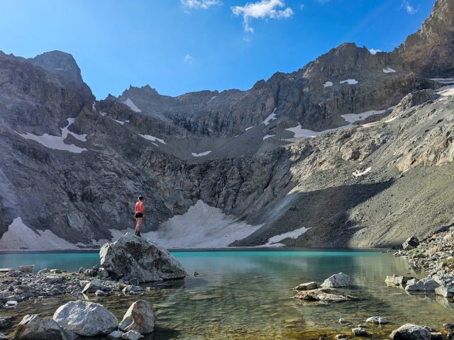
Located in the heart of a high-mountain circus, between the Pavé, Roche Méane and the Pic Gaspard on the shores of a glacial lake, this altitude hike offers something of a Himalayan feel in one of the most untamed, secret valleys of the Ecrins massif.
About : Hiking to the Pavé Lake
Welcome: From the refuge:
Mountaineering and climbing:
- Pic Northern Cavales (3362m)
- Le Pavé (3824m)
- Pic Gaspard (3883m)
- Pointe Emma (3346m)
- Pointe des Chamois (3317m)
En bref
8 h 30
J+ : 1200 m
18 km
Level black - very hard
Map and GPX marking
Hiking to the Pavé Lake
Villar-d'Arêne
Services
- Restaurant
Services
Activities
- Duration of the session: 510 minutes
Tours
- Average duration of the individual tour: 510 minutes
Opening
From 01/05 to 31/10.
Subject to favorable snow and weather conditions.
Prices
Free access.
This service provider also offers
Location supplement
The path starts below the hamlet of Le Pied du Col, where you have to take the paved road (not cleared in winter) that begins after the gite called Le Pas de
l’Ane, the car park being at the bottom of the valley.

