4637629-diaporama
4637630-diaporama
4637632-diaporama
Take 1500 meters of altitude in a few minutes thanks to the cable cars and go off to discover the glacial lakes. A peaceful and silent nature where time seems frozen.
About : Hiking : “Lac de la Fare”
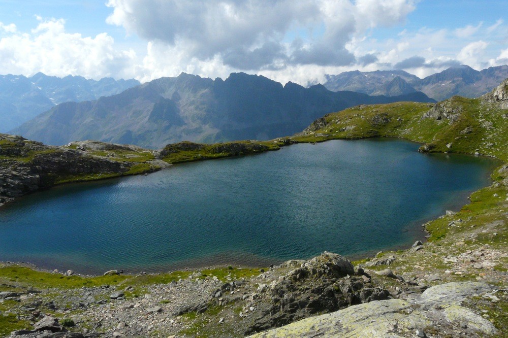
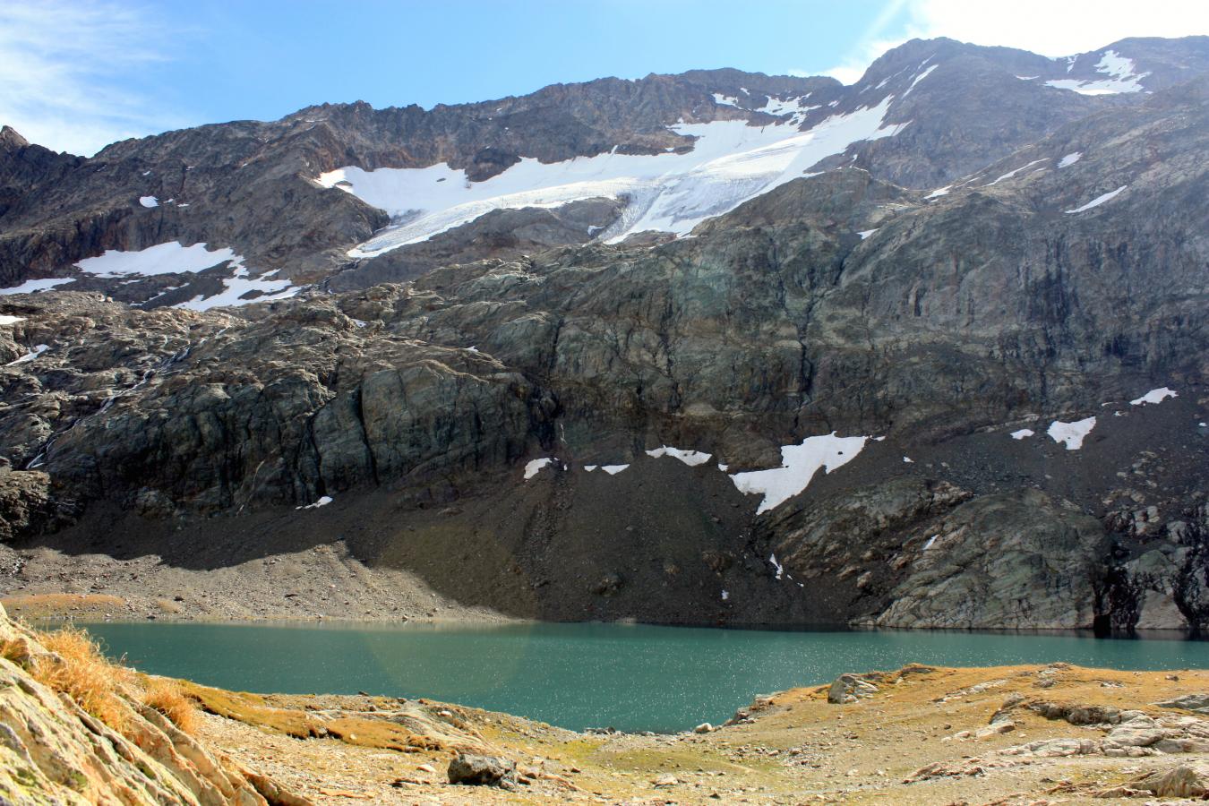
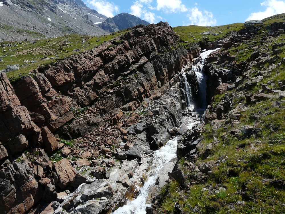
This route, which runs through the southern part of the Petites Rousses plateau, can be done in both directions. The lakes encountered come from glacial digging and have only been cleared for about two centuries. It is for this reason that the vegetation is rare, the soil being poor and not very thick.
SEE ON THE COURSE: The glacial lakes on this stony plateau at the foot of peaks and glaciers.
To know: In mountain, it is imperative to prepare his hike and to have taken knowledge of the weather.
Guidebook with maps/step-by-step
Departure from the Vaujany cable car station. Take the ski lifts of Alpette then the Domes des Petites Rousses (ticket for sale in cash on site). The marked path is visible right out of the gondola. Enjoy the fresh air of the south and north facing road.
En bref
1 h 30
J+ : 200 m
6 km
Level bue - Medium
Map and GPX marking
Hiking : “Lac de la Fare”
Vaujany
Services
- Pets welcome
Services
Tours
- Unguided individual tours available permanently
- Average duration of the individual tour: 90 minutes
Download
Opening
From 01/07 to 31/08.