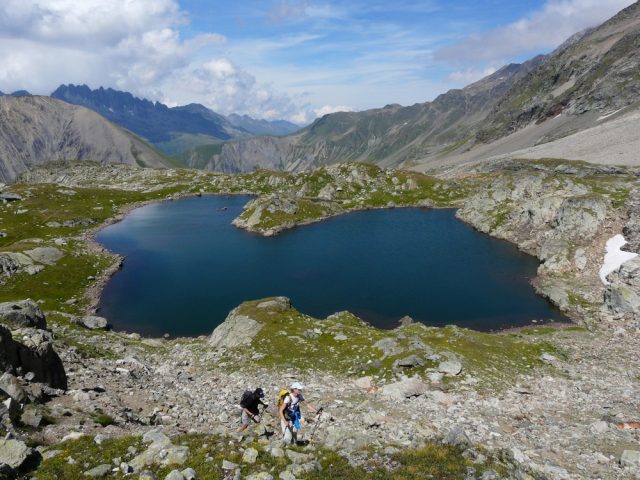
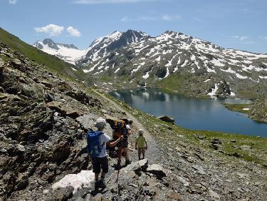
A beautiful technical itinerary will take you on a journey between glacial lakes and snowy peaks. An incursion into the world of high mountains and its history during the Second World War.
About : Hiking : Couard Cavalles
Welcome: Advice :
- Check the weather conditions before you leave.
- In case of emergency call 112.
- Adapt your clothing to the activity: bring good walking shoes, windbreaker, cap, etc.
- Bring snacks and water.
Guidebook with maps/step-by-step
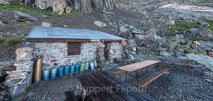
From the Tourist Office, take the road down to the left, in the bend, turn left to take the path going up towards the hamlet of La Villette, you go up until you reach the road you are following. You enter the hamlet, and follow the direction of the road to the mill, indicated in yellow sign Col du Couard. Always follow the yellow signposted Col du Couard. From the Col du Couard follow the route towards the Lac de la Fare. You walk between lakes and glacial plateau. At the Lac de la Fare you will find the Rajon shelter, and the sign for the descent to the Refuge de la Fare which you will follow. You arrive at the refuge of La Fare, be careful after the refuge technical passage; remain attentive. You reach the cable car arrival station. From the arrival station, go down the track in the direction of Clos Giraud, a track located to the north. This section is on a ski run. You arrive at the lac de retenue, and find the yellow signs on your left indicating Vaujany, la Villette. This downhill route takes you back to la Villette and you return to the hamlet via the route du moulin, and continue by the uphill route taken at the beginning of the hike.
En bref
7 h 00
J+ : 1472 m
19 km
Level black - very hard
Map and GPX marking
Hiking : Couard Cavalles
Vaujany
Services
Tours
- Unguided individual tours available permanently
- Average duration of the individual tour: 420 minutes
Download
Opening
From 01/05 to 31/10.
Subject to favorable weather.
Prices
Free access.
This service provider also offers
Vaujany


