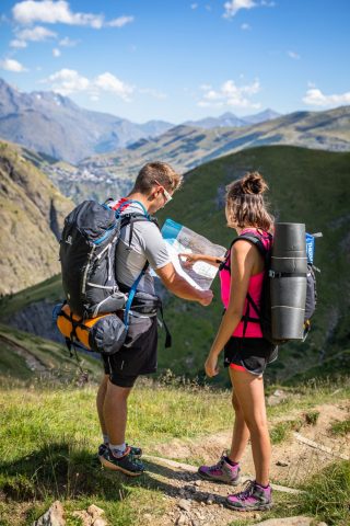
The GR® 54 is a 10 to 15-day adventure for the most seasoned hikers. The more reasonable can divide it up into "portions" and enjoy it over a week or a weekend.
About : GR® 54 – Tour de l’Oisans et des Écrins
TECHNICAL INFORMATION
Start: where tourists park + altitude
Difference in altitude: 12,000 m
Round trip duration: between 9 and 14 days
Round trip distance: 190 km
Level: very difficult
MAP AND TOPO
Topo guide Tour de l'Oisans et des Ecrins - GR® 54 (ref 508)
Discover the GR® 54 - Tour de l'Oisans et des Écrins, in the heart of the Ecrins National Park. This not-to-be-missed long-distance hike takes you to some of the most famous alpine sites, where the pioneers wrote some of the most authentic pages in the history of alpine conquest. La Meije - 3983 m, la Barre des Écrins - 4102 m, these names make you dream, and the sight of them makes you travel!
This mountain GR® is accessible to initiates and fans of long-distance hiking. The "54" is a series of challenging stages, peppered with technical passages. From alpine valleys to majestic passes, the route winds its way through an unspoilt setting with a high-mountain feel.
During the winter of 1962-1963, a handful of friends set about defining a route on a map, and then a practicable itinerary: contacting acquaintances in the various valleys, looking for a place to sleep at each stage (mountain refuge, "grand-dortoir"...).
In the spring of 1964, the route was officially approved as the GR® 54. At the time, certain passes, such as the Aup Martin, had not been climbed for several decades. The first hikers felt like true pioneers! In reality, they were following ancient paths that enabled the inhabitants of neighbouring valleys to communicate with each other on foot, possibly with pack animals, and over the passes as quickly as possible.
At the time, there was already talk of creating a national park for the Écrins... It would come into being 10 years later, but by then it already had a backbone of trails to enable the discovery of the massif's prestigious valleys and peaks.
An itinerary with many possibilities
The GR® 54 is part of the trilogy of long-distance hiking trails in the French Alps (along with the Mont Blanc and Vanoise). But it's undoubtedly the wildest of them all, and the most difficult: 184 kilometers to cover, 14 passes and over 12,800 meters of ascent.
A journey through alpine hamlets, deep valleys and high Alpine passes, watched by a discreet but very present emblematic fauna.
THE 13 STAGES OF THE GR :
1. Bourg-d'Oisans to Clavans le Bas
2. From Clavans le Bas to Les Mouterres
3. From Mouterres to Alpe de Villar d'Arène
4. Alpe de Villar d'Arène to Monêtier-les-Bains
5. Monêtier-les-Bains to Vallouise via Col de l'Eychauda
6. From Vallouise to Pré de la Chaumette via Col de l'Aup Martin
7. From Pré de la Chaumette to Lac de Vallonpierre
8. Lac de Vallonpierre to Chapelle en Valgaudemar
9. From La Chapelle en Valgaudemar to Les Souffles
10. From Souffles to Désert en Valjouffrey
11. From Désert en Valjouffrey to Valsenestre via the Côte Belle pass
12. From Valsenestre to Lac de la Muzelle
13. Lac de la Muzelle to Bourg-d'Oisans via Col du Vallon
En bref
French
Opening
From 15/06 to 30/09.
Prices
Free access.

