6715942-diaporama
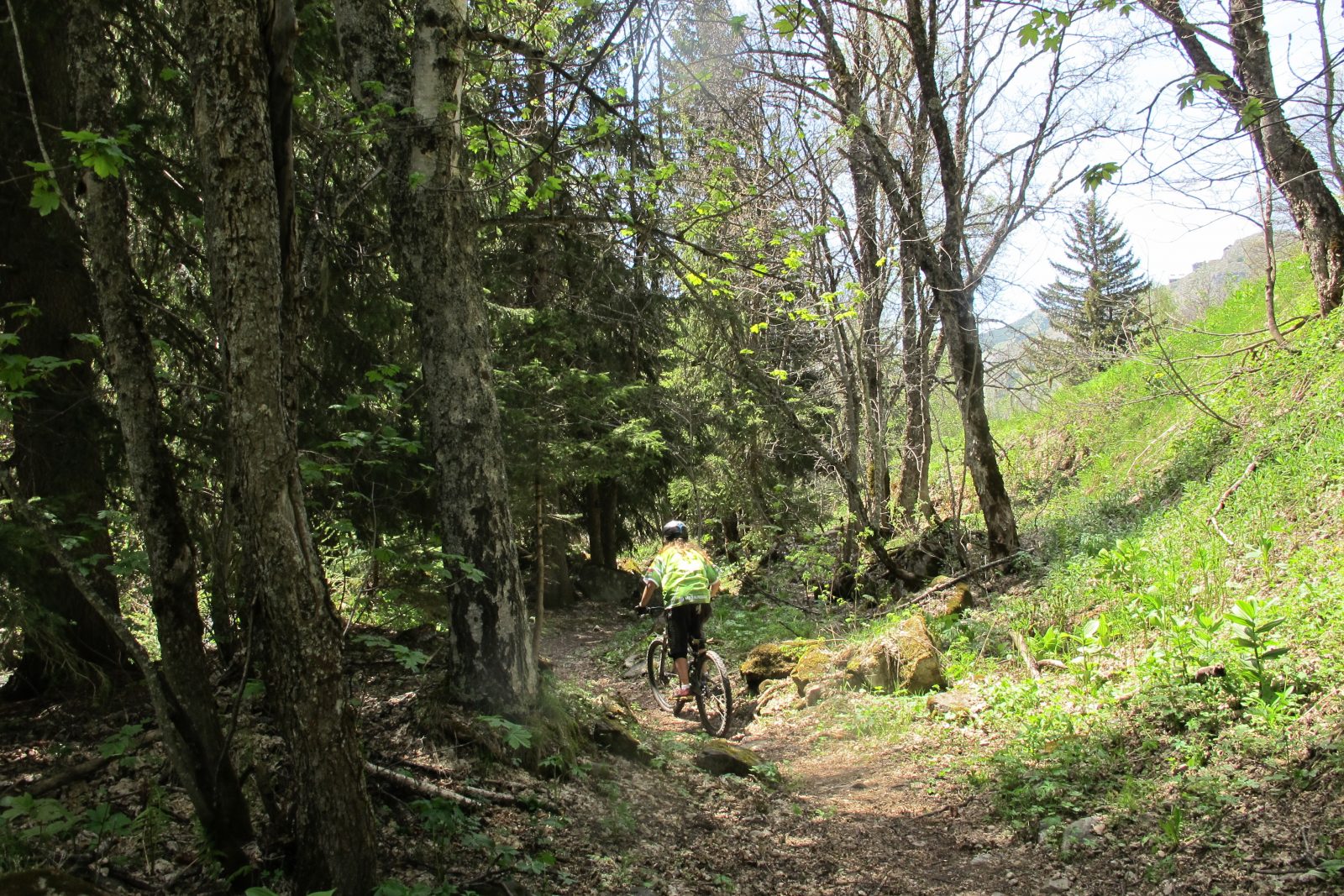
A beautiful walk that takes you through the Sarenne gorges and up the slopes of the Signal de l'Homme. You will also pass through the very charming hamlet of Rosai which is well worth a visit.
About : Gorges de Sarenne en boucle – Hiking
TECHNICAL INFORMATION
Departure : Auris en Oisans
Difference in altitude : 560 m
Round trip time: 5h
Distance : 12.5 km
Technical level : easy - physical level : easy
MAP AND TOPO
Map / Topo guide OBP n°2 et 3 (on sale at the tourist office): chemins 301 + 290 + 265 + 252 + 339 + 253.
ITINERARY
From Auris, follow the path towards the Col de Maronne. At the Col de Maronne, descend towards the Rosay/Roman Bridge.
At the Roman bridge, continue towards the Sarenne pass.
Join Le Gua then follow the path 339 towards the Col de Cluy.
For the return to the Auris station, follow the path 253. At the foot of the Signal de l'Homme return via the Col de Maronne, then follow "Auris Station".
TO SEE ON THE TOUR
- The hamlet of Rosay has a mountain charm with its typical Oisans stone houses and also for its 15th century chapel of the Ste Trinité.
- The Roman bridge is aptly named as it marks the passage of an ancient "Roman road", which linked Grenoble to Italy via the Col du Lautaret and the Romanche valley.
- The old Sarenne mill, on the banks of the torrent of the same name, with its remains and explanatory panels.
THINGS TO SEE AND DO NEARBY
Discover the botanical garden on the path 252, towards the Col de Sarenne.
TO KNOW
The Sarenne, "the longest black track in the world". In fact, the path you are taking is the end of this mythical ski run in winter.
Dogs must be kept on a leash because of the presence of herding dogs at certain times of the year.
En bref
5 h 00
J+ : 560 m
12.5 km
Map and GPX marking
Gorges de Sarenne en boucle – Hiking
Auris-en-Oisans
Services
- Pets welcome
Services
Tours
- Average duration of the individual tour: 300 minutes
Download
Opening
From 01/05 to 31/10.
Subject to favorable snow and weather conditions.
Prices
Free access.


