18295742-diaporama
18295743-diaporama
18295744-diaporama
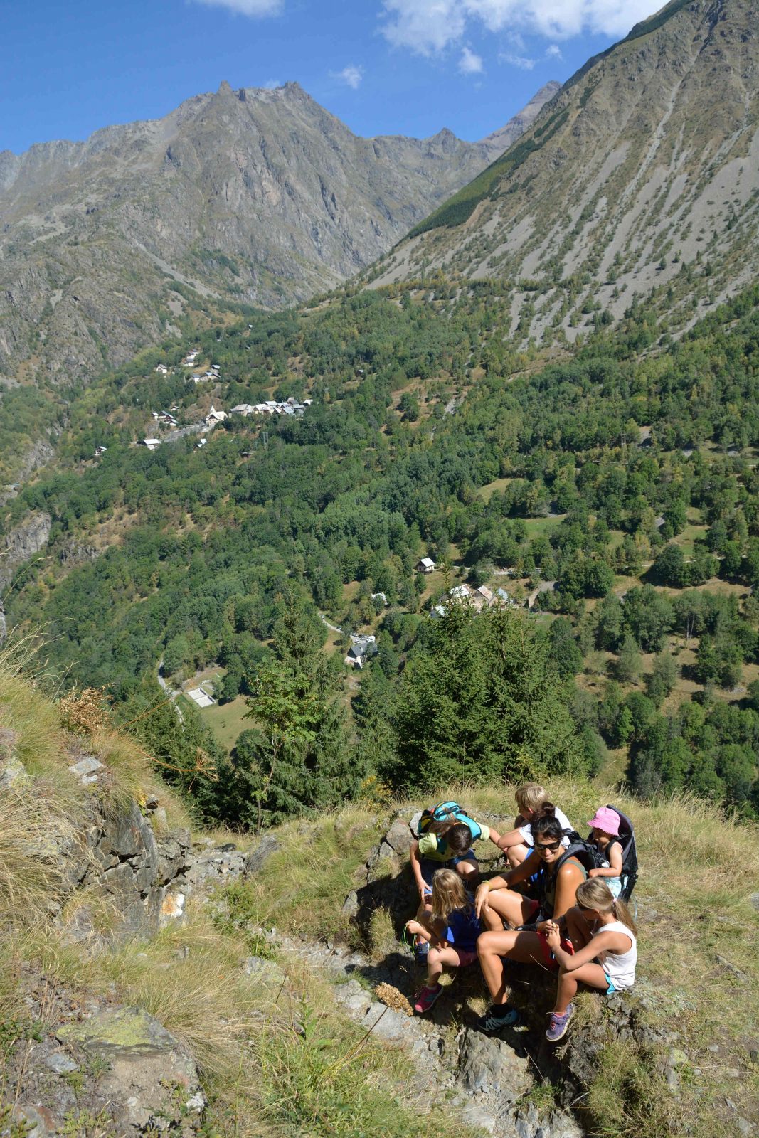
This circuit opposite the village of St-Christophe offers a beautiful panorama.
About : Boucle de l’Alpe du pin
TECHNICAL INFORMATION
Departure: Saint Christophe en Oisans
Ascent: 535 m
Duration: 4 hours
Level: medium
MAPS AND TOPO
OBP map n°5 (Oisans au Bout des Pieds): trails n°528 (to the refuge), 534, 529 and 530
IGN Top 25 map n°3336 ET
ITINERARIES
Choice of departure point: village of St Christophe, hameau des Granges (or hameau du Clot for a cool start).
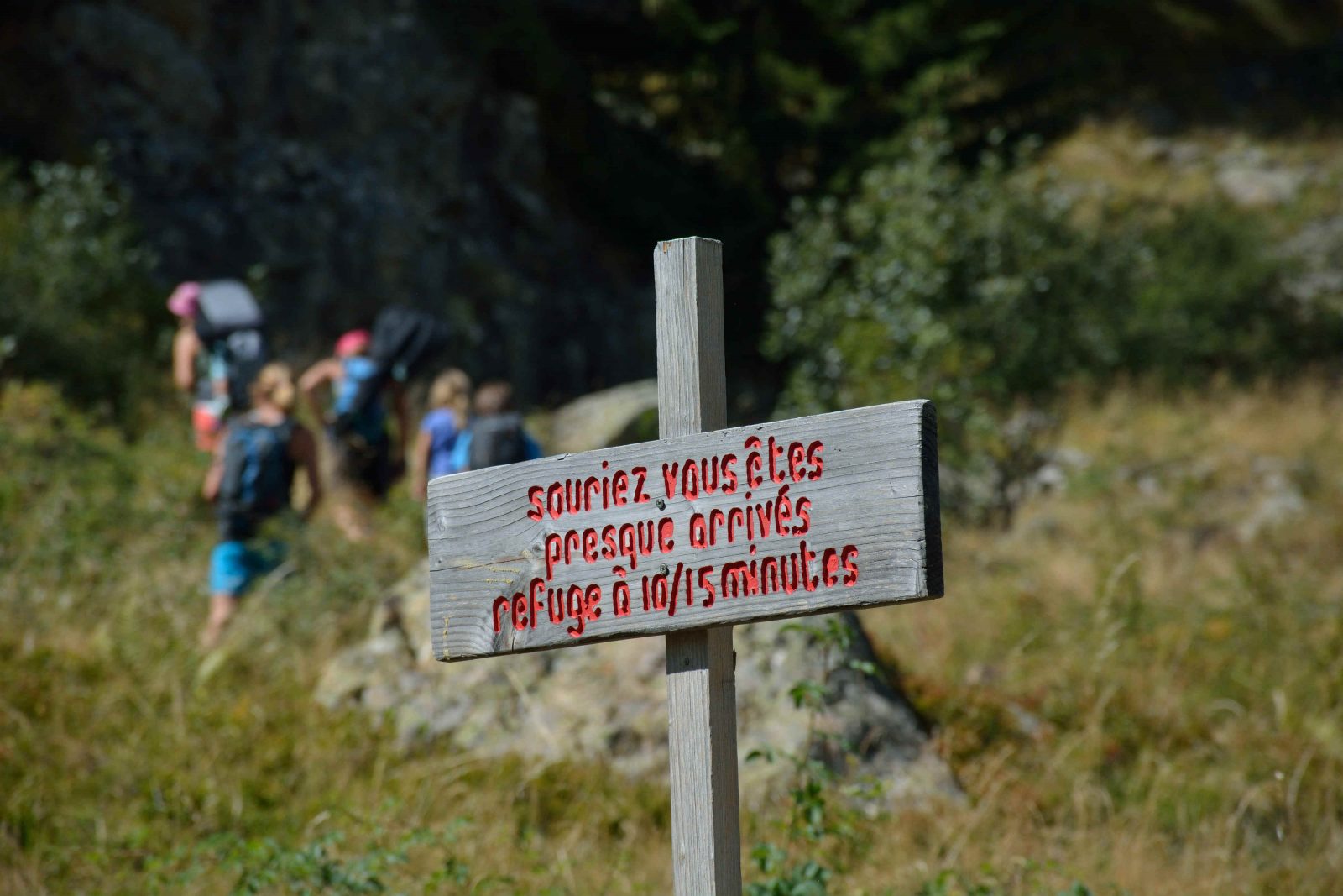
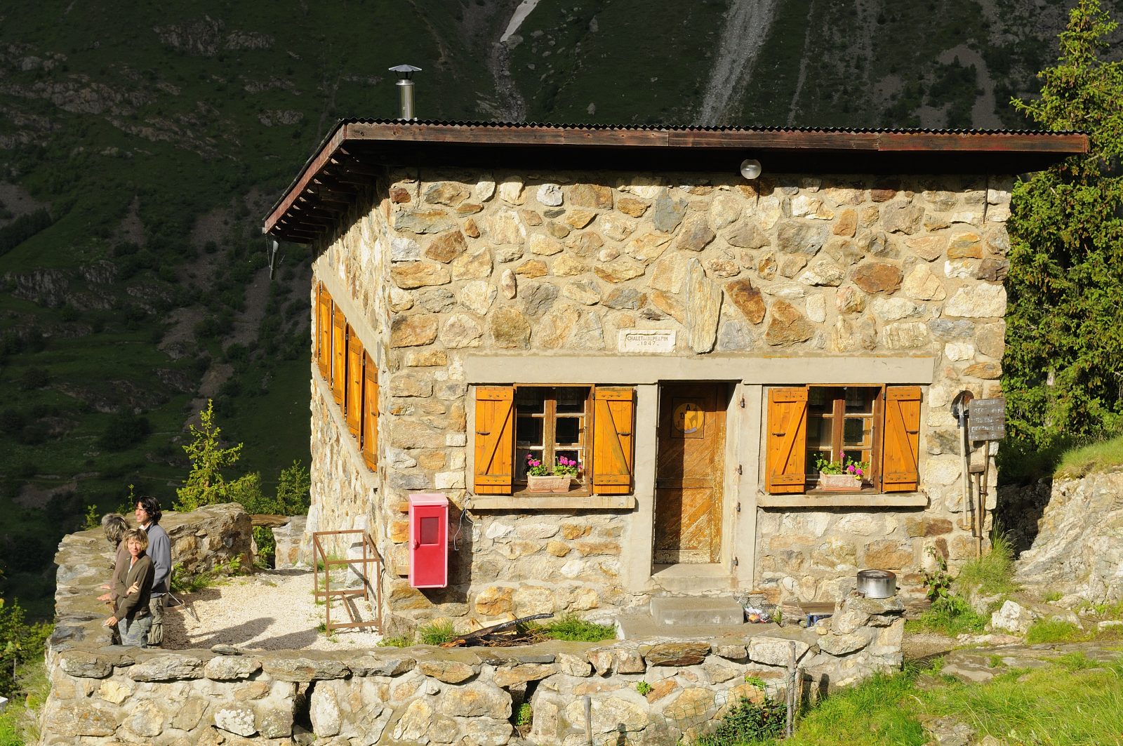
1 From the hamlet of Les Granges, below St Christophe en Oisans, descend to the Vénéon torrent. Then take the path that winds its way up to the foot of the Pisse waterfall to the Alpe du Pin flat, and arrive at the Alpe du Pin refuge.
2. The trail continues unobtrusively behind the refuge, and after a few natural steps continues on the large flat area known as "le Travers des Lacs" (approx. 45 min).
3. At the intersection with the Mariande valley, turn left to descend to Le Clot.
4. At the end of the descent, follow the signs for Plan du lac; you will then follow the Vénéon torrent to the Granges bridge, which you crossed at the start of your hike.
THINGS TO SEE ALONG THE WAY
Froide Pisse waterfall
THINGS TO KNOW
The wardens offer very tasty snacks and can give you information on these routes from the Refuge.
Minimum age: 6 years
En bref
4 h 00
J+ : 535 m
Level bue - Medium
Map and GPX marking
Boucle de l’Alpe du pin
Saint-Christophe-en-Oisans - La Bérarde
Services
- Pets welcome
Download
Opening
From 15/05 to 30/10.
Subject to favorable snow and weather conditions.
This service provider also offers

Location supplement
Opposite the village of Saint Christophe en Oisans