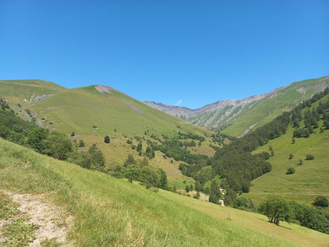
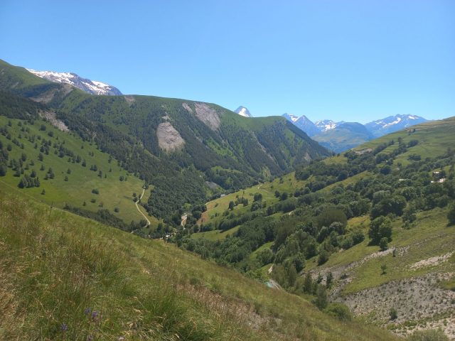
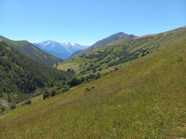
Step by step, discover the way of life of the Bessats of yesteryear. Along the way, you'll find descriptions of the valley's architecture, pastoralism and emblematic flora and fauna.
About : À la rencontre des Bessats” discovery trail – Hiking from Besse-en-Oisans
TECHNICAL INFORMATION
Start: Car park at the end of Rue Principale Saint Anne
Height difference: 250 m
Round trip time: 3h
Round trip distance: 6.1 km
Level : Medium
MAP AND TOPO
IGN Top 25 map 3335 ET
OBP (Oisans au Bout des pieds) trails on sale at the tourist office.
ITINERARY
From the Beyer parking lot on the outskirts of the village, take the track towards Bonnefin.
At the "Des Routes alt.1647m" sign, fork left onto the trail, still following the signs for Bonnefin.
Most of the ascent is on this section.
As you reach Bonnefin, the path becomes increasingly shaded.
In the hamlet of Bonnefin, you can see the chapel and typical Bessat houses. Continue on the same path, then shortly after leaving the hamlet, take the path on your right signposted Le Sert. This passes through the mountain pastures and is no longer planted with trees.
At Le Sert, start downhill towards the Gay bivouac area. Once you've passed this, at the crossroads with the road, cross the bridge and take the path along the Ruisseau de la Salse back to the village. After a 1-km walk, take the bridge on your right. The path climbs back up to return to the village of Besse.
Once in the main street of Besse, turn right to reach the parking lot, or take the opportunity to visit the village!
TO SEE ALONG THE WAY
Bonnefin hamlet
Bonnefin chapel
Hamlet of Sert
NEARBY SIGHTS
Village of Besse-en-Oisans
Maison des Alpages de Besse-en-Oisans
En bref
J+ : 250 m
6.1 km
Level bue - Medium
Map and GPX marking
À la rencontre des Bessats” discovery trail – Hiking from Besse-en-Oisans
Besse-en-Oisans
Download
Opening
From 01/05 to 31/10.
Subject to favorable weather.


