20727995-diaporama
20727996-diaporama
20727997-diaporama
20727998-diaporama
20727999-diaporama
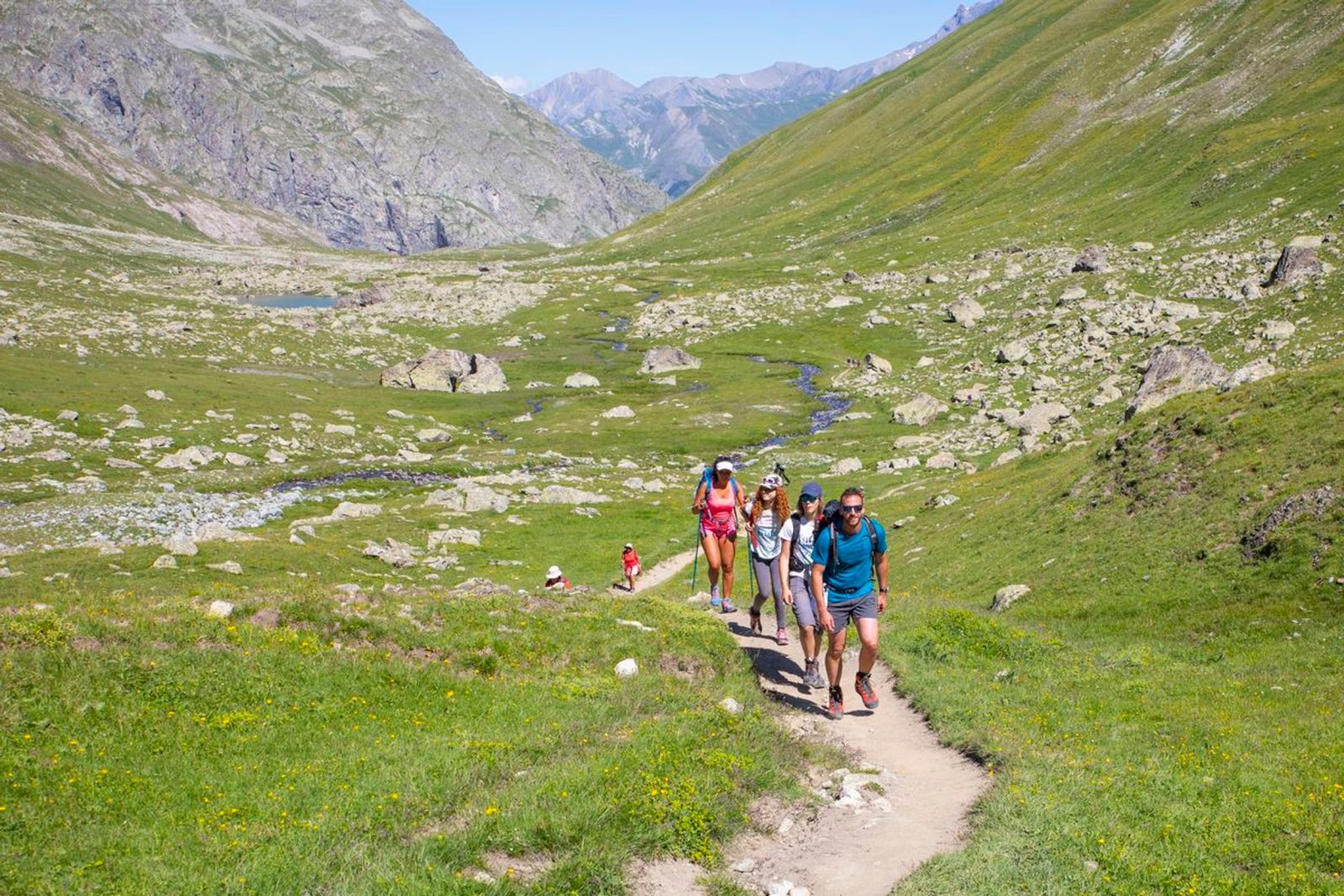
This 4-day loop takes the hiker through the high mountain valleys to meet the most beautiful peaks of the Écrins.
About : 4-day Tour du Combeynot
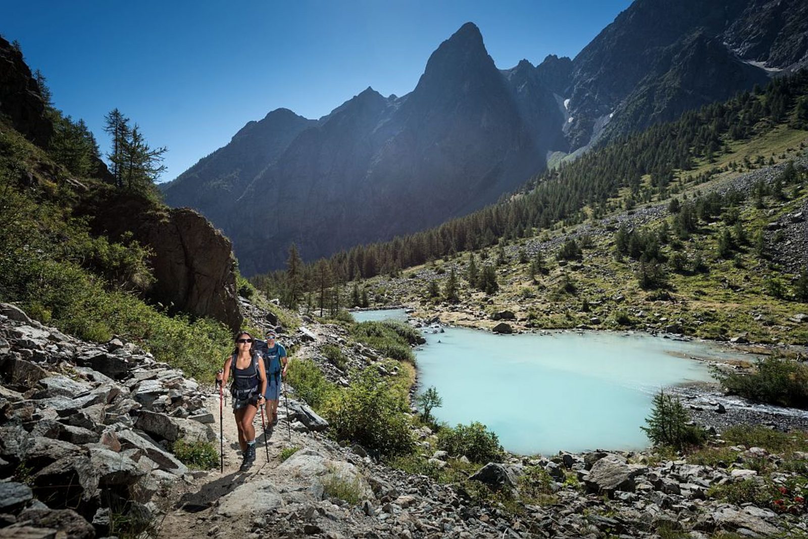
From the Col du Lautaret, take the Crevasses path, passing the magnificent belvedere de l'Homme, to climb up to the Alpe de Villar d'Arène.
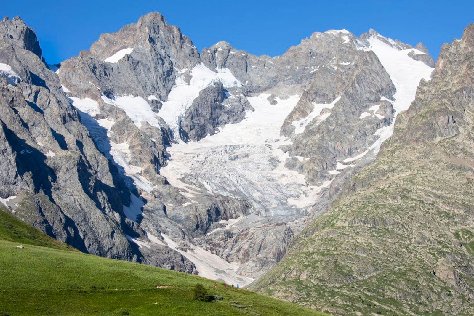
From the Alpe de Villar d'Arêne refuge, the path enters the heart of the park and gradually rises to the lakes of the Arsine glaciers, the highest point of the loop. The scenery also increases in altitude and the atmosphere is reminiscent of the high mountains. The route then drops down into the Guisane valley on a good path to the village of Le Casset, passing the small Lac de la Douche at the entrance to a larch forest.
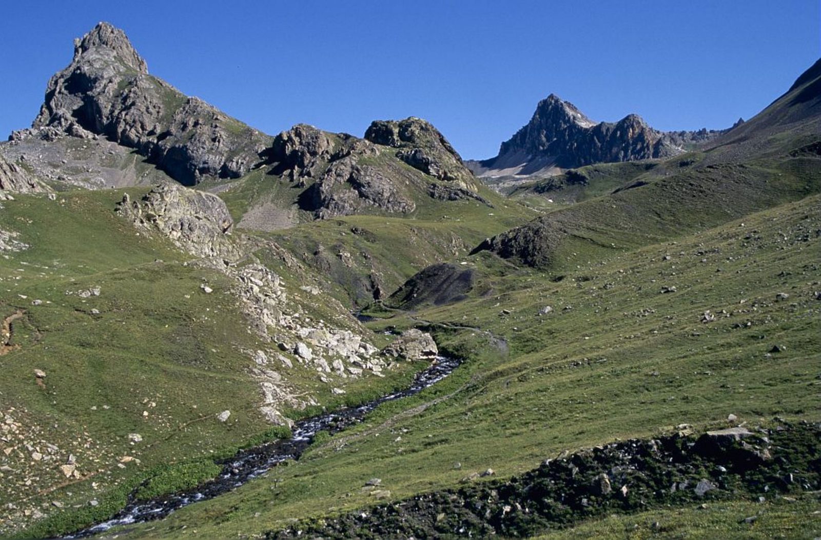
The third stage starts at the bottom of the valley and allows you to discover the architecture of the valley hamlets, then on the opposite slope (Cerces side) on the Chemin du Roy, to end below the Aiguillette du Lauzet, with the possible presence of ibex, and the hamlet of Le Lauzet.
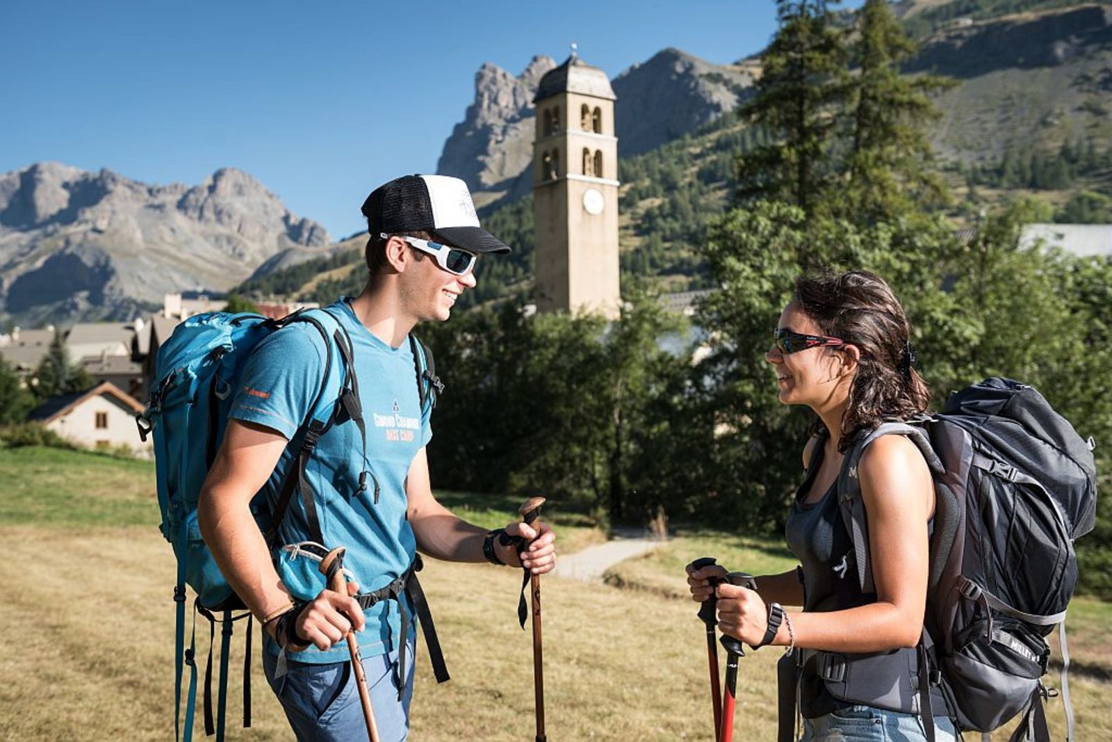
The final, short stage climbs north-west to the Col du Lautaret, along the Guisane torrent, with its hamlets and chapels typical of the high valleys.
Welcome: Medium
En bref
96 h 00
J+ : 2004 m
42.23 km
Services
Tours
- Average duration of the individual tour: 5760 minutes
Download
Prices
Free of charge.
Location supplement
Departure point: Col du Lautaret.
Arrival point: Col du Lautaret.
From Briançon, take the D1091 in the direction of Grenoble, pass Monêtier-les-Bains and continue to the Col du Lautaret.
From Grenoble, take the D1091 towards Bourg d'Oisans, then continue towards La Grave and climb to the Col du Lautaret. Recommended parking: Col du Lautaret.
PACA Regional Express Line - Line 35: Serre-Chevalier - Briançon - GrenobleConsult the timetable on the website: https://www.info-ler.fr/index.php