
10991200-diaporama

11029745-diaporama
11029757-diaporama
11029763-diaporama
11029766-diaporama
11029769-diaporama
11029773-diaporama
11029774-diaporama
11029808-diaporama
11029810-diaporama
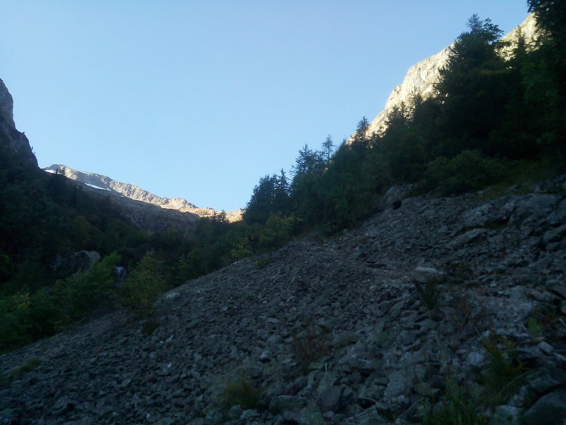
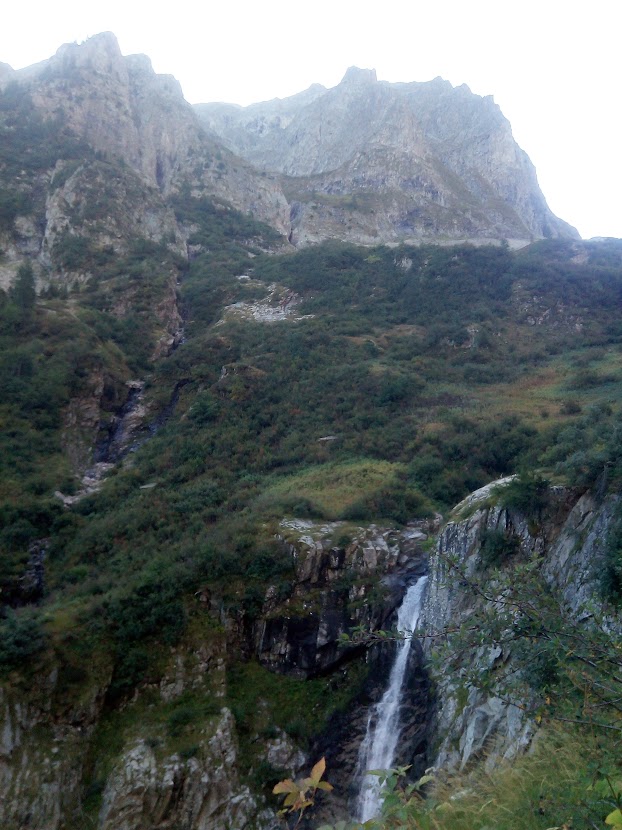
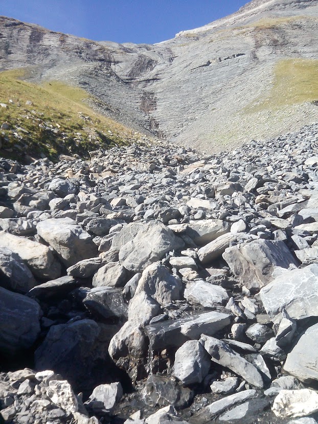
Un sentier qui traverse un torrent et remonte en rive Gauche du ruisseau du Vallon. Magnifique montée au milieu des cascades. Le sentier est bien visible jusqu'au refuge communal des sources
About : Villard Notre Dame-Refuge des Sources
Villard Notre Dame is perched high in the mountains at 1550m, the road up is aerial and requires a certain amount of prudence !
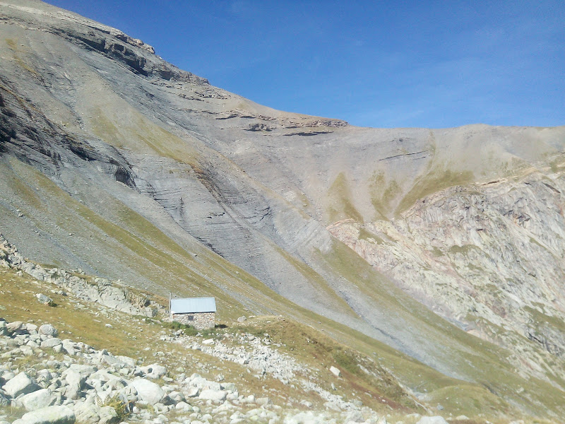
The path starts in the last bend defore arriving in the village and climbs up towards the Refuge des Sources, traversing the ruined village of l'Essard, where the 3rd November 1943 the inhabitants fled minutes before German soldiers arrived and were saved.
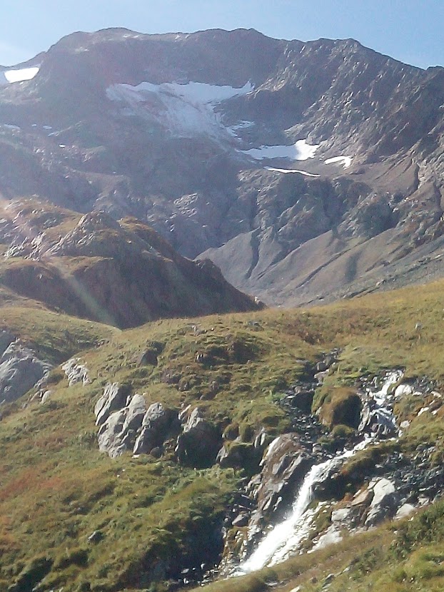
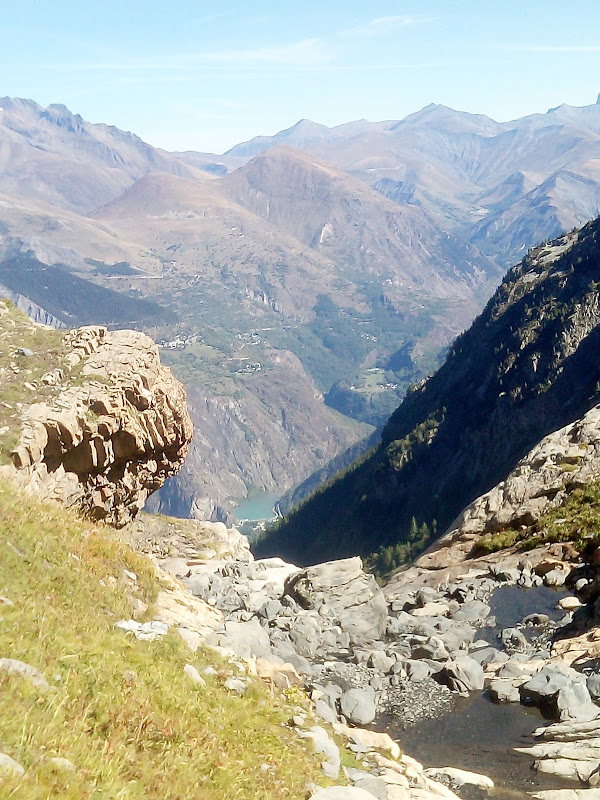
There is a spectacular view from the plateau over the Aiguilles d'Arves in Savoie, the plateau d'Emparis, the Ferrand valley, the Grandes Rousses mountains and the ski resorts of Alpe d'huez and Villard Reculas.
TO KNOW
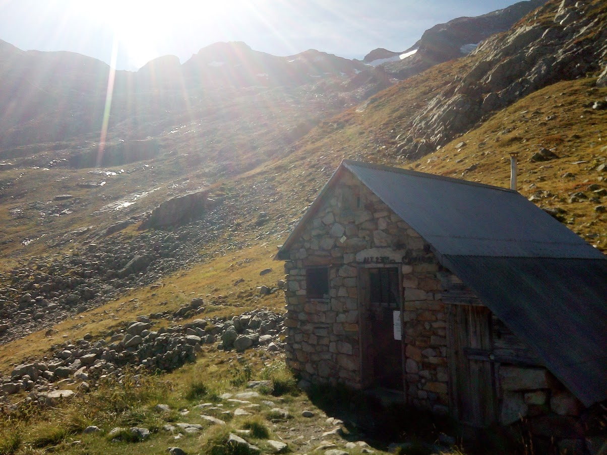
Possibility to spend a night in the "Cabane des Sources" after booking on the website : https://refugedessources.jimdofree.com/
NEARBY :
Possibility to start from the Cascade de la Pisse
Possibility to continue after the Refuge des Sources to the summit of Rochail
Welcome: tricky passages without major problems
En bref
5 h 40
J+ : 922 m
8.9 km
Level red – hard
Map and GPX marking
Villard Notre Dame-Refuge des Sources
Le Bourg-d'Oisans
Services
- Pets welcome
Download
Opening
Subject to favorable snow and weather conditions.
Prices
Free access.
This service provider also offers
