4869614-diaporama

4869613-diaporama
4869621-diaporama
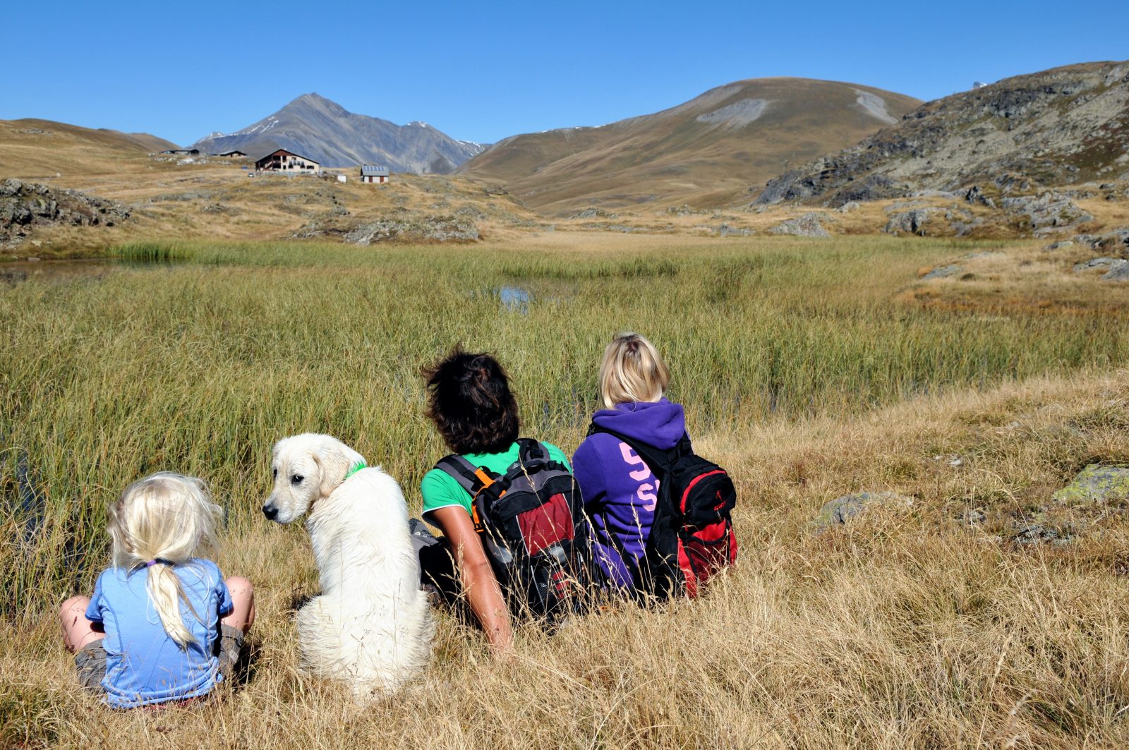
Le Plateau itself is a little piece of heaven, with a wide variety of alpine flowers during June and July, numerous colonies of marmots near the refuge.
About : Hiking – Huts du Fay & des Mouterres
TECHNICAL INFORMATIONS
Starting point: Mizoën
Elevation gain: 265 m
Duration There/Back: 3h
Distance: 7,3 km
Level: Medium
MAP
Map OBP n°3 (Oisans au Bout des Pieds) : sentier n°343 et 345
Map IGN n°3335 ET
ITINERARY
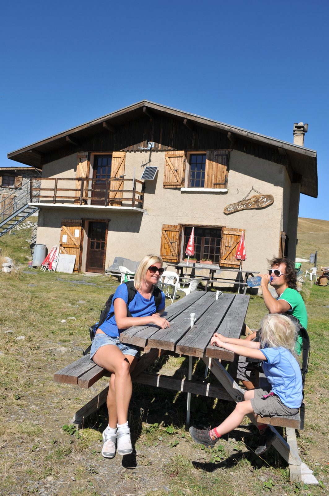
From Mizoen – Les Aymes, the path follows the path GR50-54 (Tour du Dauphiné) that leads up to the refuge des Clots (it is also possible to make a detour via the discovery path). Then continue the climb, quite steep, up to the plateau where you reach the refuge du Fay, which you’ll see on your left in a bend of the track. Le Plateau itself is a little piece of heaven, with a wide variety of alpine flowers during June and July, numerous colonies of marmots near the refuge, grasshoppers, butterflies, dragonflies to the lakes, and also larks, the golden eagle and around sixty vultures recently arrived from the South.
TO SEE ON THIS ROAD
-Cascade de la Pisse
-Variety of alpine flowers
-Marmots, grasshoppers, butterflies, larks, golden eagle and vultures
TO KNOW
Emparis has always been a renowned pasture: the path will then be a good excuse to encounter the shepherds, their dogs and thousands of sheep. The departure is also possible from Besse-en-Oisans or Le Chazelet, in both cases following the path GR54. Mountain bikers may also reach the hut by the sheperds’ road (about 15km), which can also be taken by suitable vehicles with dry and clear weather.
En bref
5 h 00
J+ : 972 m
8.6 km
Level bue - Medium
Map and GPX marking
Hiking – Huts du Fay & des Mouterres
Mizoën
Download
Opening
From 01/05 to 31/10.
Subject to favorable snow and weather conditions.