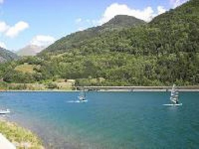
This is an easy walk overlooking the Eau d'Olle valley with its crystal-clear lake. The sahdy footpath winds its way through the typical hamlets and villages of the communes of Vaujany and Oz en Oisans.
About : Du Verney to Enversin
Hike n°7 on the Hiking in Oisans map
The starting point for this walk is the Barrage du Verney hydroelectric power plant, which was instrumental in the development of Vaujany and Oz en Oisans as ski resorts.
TECHNICAL INFORMATIONS
Starting point: The Barrage du Verney hydroelectric
Elevation gain: 293 m
Duration: 1h30
Distance: 2,7 km
Level: Easy
MAP :
Carte IGN TOP 25 n°3335 ET - Bourg d'Oisans, Alpe d'Huez
Carte OBP n°2 (Oisans au Bout des Pieds) : hike n°206
TO SEE ON THIS ROAD
-The EDF Hydrélec Museum
-The Chapel in Pourchery
-The remains of a watermill
-The Barrage du Verney is capable of storing 15 million m3 of water and forms the lower reservoir of the Grand’Maison hydroelectric facility
TO SEE NEARBY
In Vaujany:
-La Maison de la Faune (fauna museum).
-The Espace Patrimoine (exhibition of village life), the Lakes plateau accessible by cable car.
At Le Rivier d’Allemond:
-La Maison du Bouquetin (The Ibex House).
-Espace York Mallory (museum dedicated to commemorating Sir Trafford Leigh-Mallory)
-The Rivier d’Allemond Farm.
In Allemond:
-3 P’tits Points (dressmaker and member of the Route des Savoir-Faire de l’Oisans)
-The Ferme des Bisons de l’Oisans at Rochetaillée.
TO KNOW
The Barrage du Verney hydroelectric power plant, which was instrumental in the development of Vaujany and Oz en Oisans as ski resorts.
En bref
1 h 30
J+ : 293 m
2.7 km
Level bue - Medium
Map and GPX marking
Du Verney to Enversin
Vaujany
Services
Tours
- Average duration of the individual tour: 90 minutes
Download
Opening
From 01/01 to 31/12.

