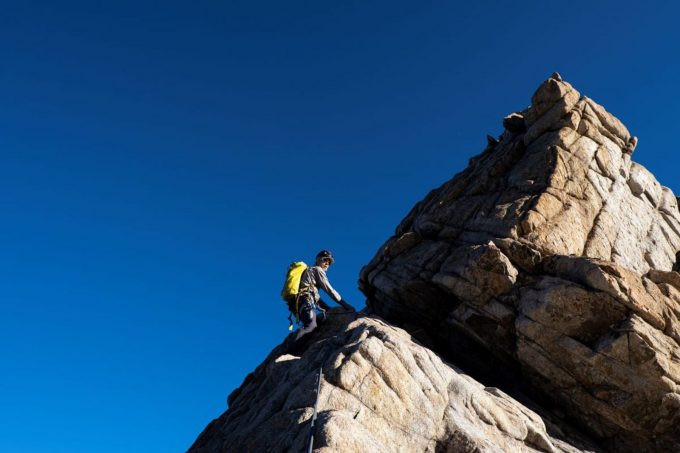
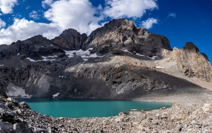
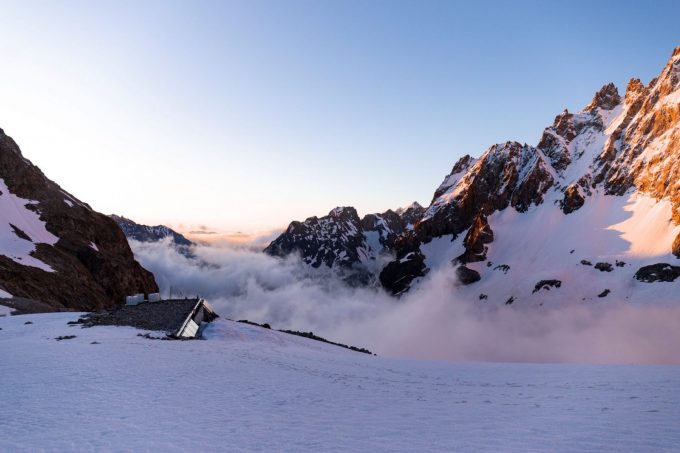
The Pic Nord des Cavales is an impressive granite monolith that has always attracted climbers thanks to its situation and the quality of its rock.
About : Pic Nord des Cavales (3,158 m)
At first, the route follows the GR 54, then leaves it in the Pas d'Anna Falque to join the right bank of the Romanche. At the Valfourche bridge, continue on the left bank of the Torrent des Cavales. There are two ways to reach the Pavé hut : stay on the edge of the moraine and follow the path to the bottom of the valley, then cross horizontally to the right (heading north-east) to reach the hut, or descend into the talweg formed by the moraine to the right and follow a steep path that slopes over the rocky bars (cables) that defend the entrance to the Cirque du Pavé (faster but tricky).
The mountaineering route starts on the second day from the Pavé refuge to the summit of the Pic Nord des Cavales.
Welcome: Hard
En bref
48 h 00
J+ : 1705 m
26.27 km
Map and GPX marking
Pic Nord des Cavales (3,158 m)
Villar-d'Arêne
Services
Activities
- Duration of the session: 2880 minutes
Tours
- Average duration of the individual tour: 2880 minutes
Download
Prices
Free of charge.
Location supplement
Departure : Le Pied du Col, Villar-d'Arêne.
Arrival : Le Pied du Col, Villar-d'Arêne.
From Villar-d'Arêne, which can be accessed via the D1091 from Le Bourg d'Oisans or Briançon, take the minor D207 road toward Le Pied du Col. At the first intersection turn right and follow this road for 1.25 km to the Pont d'Arsine (bridge). Cross the bridge and take the first track on the right. Follow this for 1.5 km until it comes to an end and park in the car park 1,714 m.
Parking recommended : Car park at Le Pied du Col, Pont d’Arsine bridge .
Bus line Grenoble - Briançon, via Col du Lautaret :
https://carsisere.auvergnerhonealpes.fr/
https://www.itinisere.fr/
https://zou.maregionsud.fr/


