27801441-diaporama
27801442-diaporama
27801444-diaporama
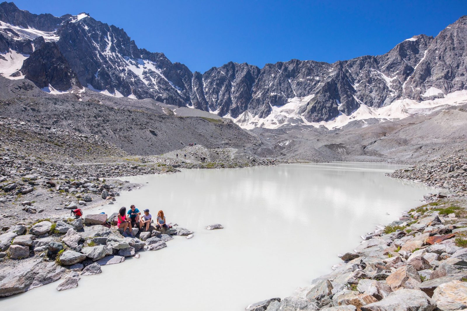
The hamlet of Casset lives according to the changing colours, from the green prairies in the valley to the light blue of the Arsine glacial lakes.
About : The Arsine Lakes
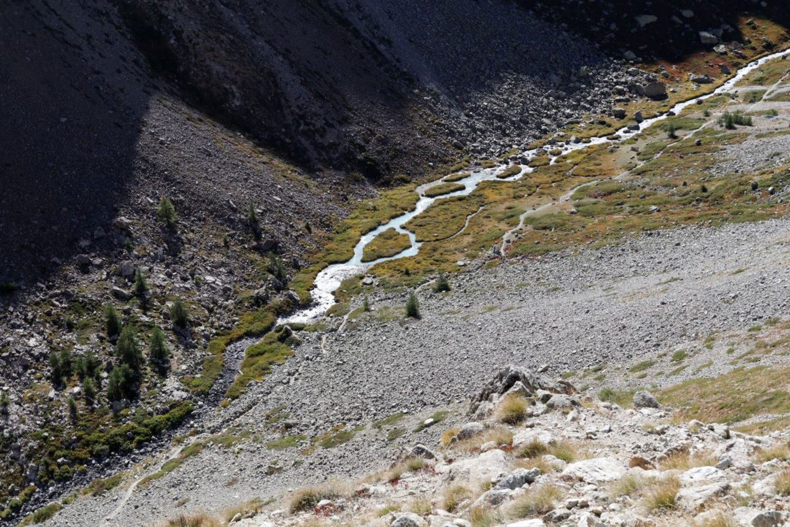
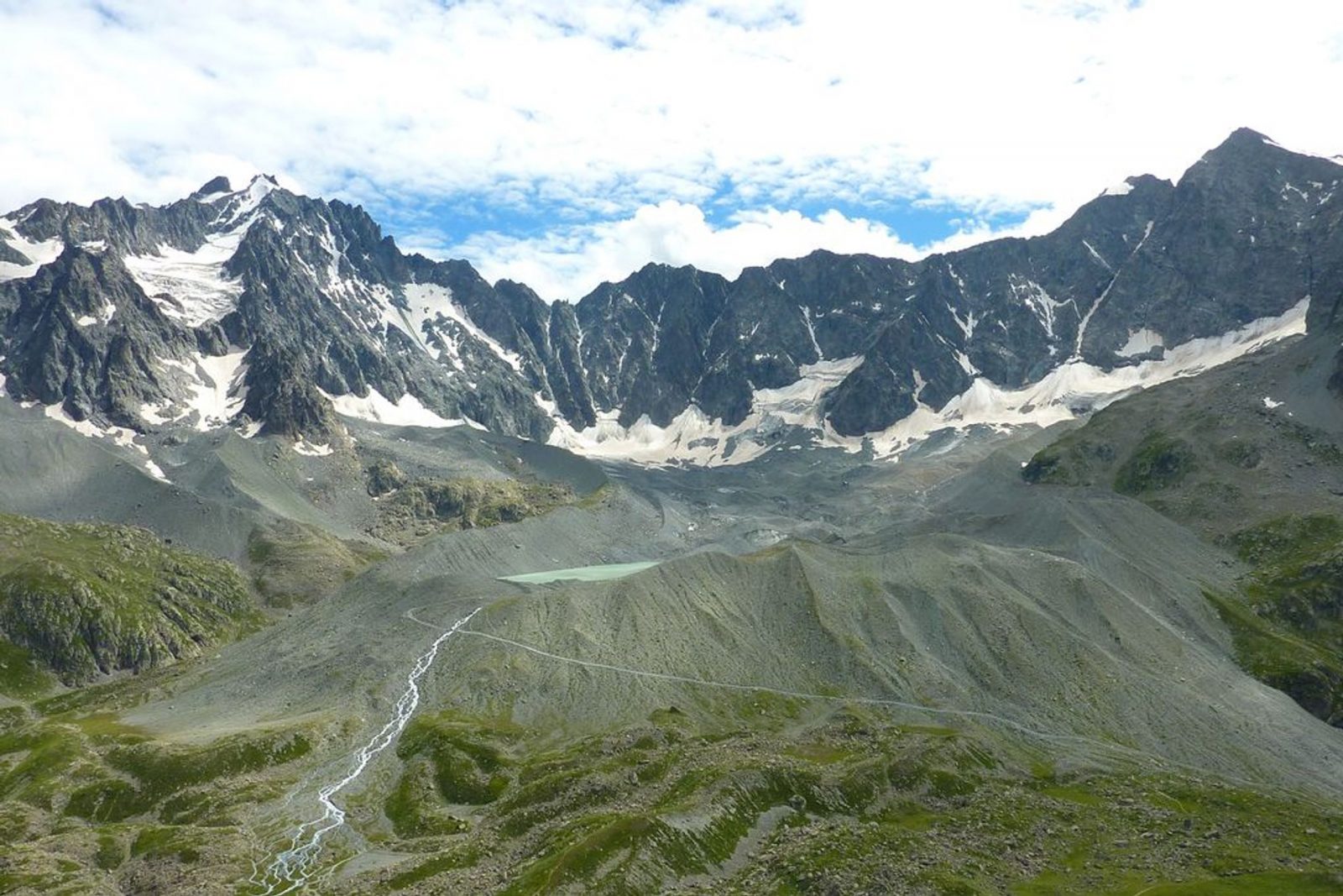
From the car park at the entrance of Casset, near the Park information centre, head up the hamlet by the main street and cross the second bridge over the Guisane, on the left. A straight track follows the Petit Tabuc stream and leads progressively from the hayfields into the woods. Beyond the barrier and the Clot du Gué bridge, a steady climb leads through the larch forest up to Grand Pré glade (1683 m), then on to the Douche lake (1901 m). The heart of the Ecrins National Park starts on the other side of the ford made of wood and stones. A winding footpath over a large area of scree gives well-deserved access to a mineral valley, populated with chamois. In the distance, on the right, the shepherd's mountain hut reminds us that the area is used for grazing. The footpath continues on the right of the valley and ends at the Arsine pass (2340 m). This is where you will leave the GR 54 to go over the frontal moraine of the Arsine glacier. From this ledge created by the movement of the glaciers, two large lakes mark the end of the route (2455 m). The Arsine glacial cirque is overlooked by majestic summits: you will marvel at Les Agneaux and the Neige Cordier Peak. Return by the same route.
Welcome: Hard
En bref
6 h 00
J+ : 987 m
17.8 km
Map and GPX marking
The Arsine Lakes
Le Monêtier-les-Bains
Services
Activities
- Duration of the session: 360 minutes
Tours
- Average duration of the individual tour: 360 minutes
Download
Prices
Free of charge.
Location supplement
Departure : Le Casset (Le Mônetier-les-Bains).
Le Casset 17 km from Briançon by the D1091 and D300.
Parking recommended : At the entrance to the hamlet of Casset. .