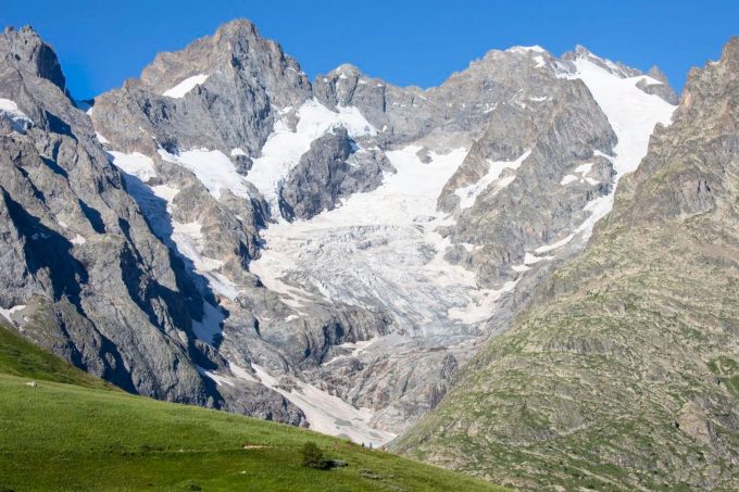
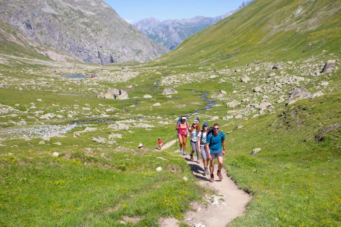
The Tour du Combeynot is an easily accessible trail through the mountain valleys of the Romanche and the Guisane, and takes you from one to the other via the Col d'Arsine and the Col du Lautaret to admire the finest peaks of the Ecrins.
About : 4-day Tour du Combeynot
From Col du Lautaret there are two ways to go to the Alpe de Villar d’Arêne refuge. First, along the Crevasses path, which runs around the mountainside above the Romanche valley, or second, by continuing along the GR 50 as far as the village of Le Pied du Col (accommodation available) and going up alongside the water via Le Pas d'Anna Falque.
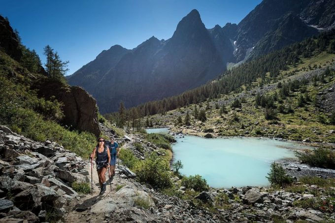
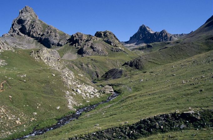
From the Alpe de Villar d'Arêne refuge, the path enters the heart of the park and rises gradually to the Arsine glacier lakes, the highest point of the trip. The decor also matches the altitude and there is a high-mountain atmosphere. The trail is transformed in the Guisane valley, with a good path as far as the village of Le Casset, passing in front of the small lake of La Douche at the entrance to the larch forest.
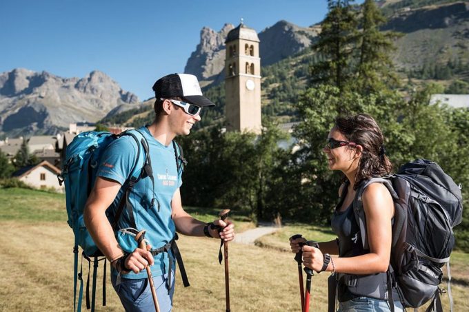
The third stage begins deep in the valley and is a chance to explore the architecture of the valley villages, then follows the slope opposite (on the Cerces side), along the Chemin du Roy, to arrive below L'Aiguillette du Lauzet, where you may spot some Alpine ibex, and the hamlet of Le Lauzet.
The last, short stage heads back up towards the north-west of the Col du Lautaret, along the Guisane torrent, rich in the villages and chapels that are typical of mountain valleys.
Welcome: Medium
En bref
96 h 00
J+ : 2004 m
42.23 km
Map and GPX marking
4-day Tour du Combeynot
Le Monêtier-les-Bains
Services
Activities
- Duration of the session: 5760 minutes
Tours
- Average duration of the individual tour: 5760 minutes
Download
Prices
Free of charge.
Location supplement
Departure : Col du Lautaret.
Arrival : Col du Lautaret.
From Briançon, follow the D1091 towards Grenoble, passing Le Monêtier-les-Bains and continuing on to Col du Lautaret.
From Grenoble, take the D1091 towards Bourg d'Oisans, then continue towards La Grave and up to the Col du Lautaret. The Chambon tunnel is closed - you need to take the relief road.
Parking recommended : Col du Lautaret .
Région Sud bus lines : https://zou.maregionsud.fr/
Auvergne-Rhône-Alpes bus lines : https://carsisere.auvergnerhonealpes.fr/
Isère bus lines : https://www.itinisere.fr/

