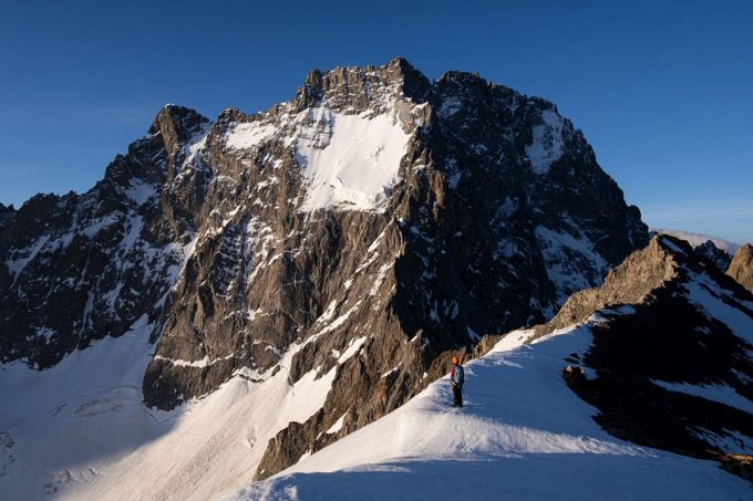
Pic Coolidge is an essential peak in the massif. Easy and accessible from the valleys of Vénéon and Vallouise, in the heart of the central area of the Parc National des Écrins, it offers an unparalleled view of the Barre des Écrins and Ailefroide mountain
About : Pic Coolidge (3,775m)
To get to the Temple-Écrins refuge, you have to walk along the Vénéon, up through the Carrelet wood and climb a few stone steps before the landscape gradually opens up. At the end of the path, the refuge comes into view.
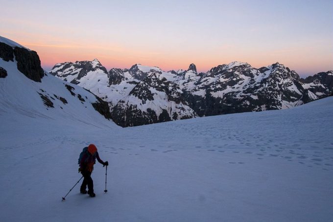
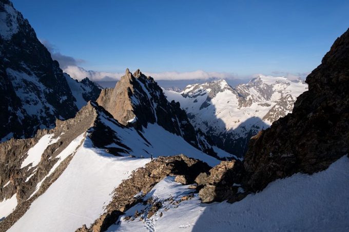
On the second day, we get to the heart of the matter with the ascent of Pic Coolidge. Leaving the refuge, you first reach the Col de la Temple-Épaule at 3,321m. You then have to climb 450m to reach the summit of Pic Coolidge at 3,775m.
Return to La Bérarde via the same route.
Welcome: Hard
En bref
48 h 00
J+ : 2038 m
22.36 km
Map and GPX marking
Pic Coolidge (3,775m)
Saint-Christophe-en-Oisans - La Bérarde
Services
Activities
- Duration of the session: 2880 minutes
Tours
- Average duration of the individual tour: 2880 minutes
Download
Prices
Free of charge.
Location supplement
From Le Clapier, which is accessible from Le Bourg d'Oisans or Briançon via the D1091 (4km south-east of Bourg d'Oisans), follow the D530 up the Vénéon valley for 26km to La Bérarde. At the entrance to the village, cross the bridge over the Étançons stream and go down a narrow road to park in the car park below the village.
Parking recommended : Bérarde car park .
Daily bus services from Grenoble and Briançon :
https://www.itinisere.fr/
https://carsisere.auvergnerhonealpes.fr/
https://zou.maregionsud.fr/


