Setting off from a mountaineering Mecca, hikers take their place amidst iconic peaks for a remarkable two-week trek in Les Écrins.
About : GR®54 – Tour of L’Oisans and les Écrins starting from La Grave
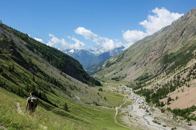
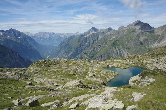
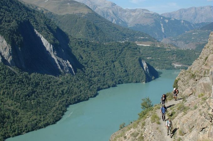
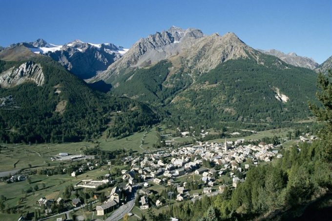
The Tour of L'Oisans and les Écrins sets off on its grand tour from La Grave, at the foot of the majestic peak of La Meije, tracing the Romanche river back up to its source among the alpine pastures of Villar d'Arène. When you reach the Col d’Arsine, the scene is stunning. The surrounding realm of high peaks invites a visit to the glacial Lac d’Arsine before embarking on a long descent following the mountain stream Le Petit Tabuc, down to the valley of La Guisane and Monêtier-les-Bains. Objective: La Vallouise via the Col de l'Eychauda and the tranquil chalets of Chambran. Eight kilometres of motor road following the mountain stream L'Onde brings you to the alpine pastures of Jas Lacroix. Crossing the Col de l'Aup Martin, the highest pass on the route, is always a high point of the adventure, and the descent to the Pré de la Chaumette is equally exhilarating. To reach Lac de Vallonpierre, no fewer than three passes cut through the shale have to be negotiated with care. Following the Séveraisse river, the path comes to La Chapelle en Valgaudemar where you leave the main path to take to the heights above the valley via a variant of the GR®54. From the Refuge de l'Olan, there is an unrivalled view over the peaks of Valgaudemar and their glaciers. You rejoin the route at the Refuge des Souffles and then come to the impressive Col de la Caurze. Equally impressive is the descent down into the wild Valjouffrey. The verdant Col de Côte Belle contrasts with the shale landscapes encountered previously. In the Béranger valley, Valsenestre makes a restorative stopping point before setting off again for the final meandering stretches. You reach the vertical Col de la Muzelle, the gateway to the Vénéon valley. A long descent down towards Vénosc constitutes the second variant of the GR®, where the route runs close to the famous Les Deux-Alpes resort on the two slopes (Vénosc and Mont-de-Lans) and leads to the pretty village of Mizoen. The path continues, rising in altitude up the mountain side and shadowing the shore of the large Lac du Chambon below, before it reaches the refuges at the foot of the Emparis plateau. Above, the Col de Souchet offers a five-star view over La Meije. A descent of almost 1,000 metres brings you to La Grave, the culmination of this remarkable looped circuit.
Welcome: Hard
En bref
336 h 00
J+ : 12454 m
185.96 km
Map and GPX marking
GR®54 – Tour of L’Oisans and les Écrins starting from La Grave
La Grave
Services
Activities
- Duration of the session: 20160 minutes
Tours
- Average duration of the individual tour: 20160 minutes
Download
Prices
Free of charge.
Location supplement
Departure : La Grave.
From Grenoble:
80 km along the RD1091, following signs for the resorts of L'Oisans / La Grave / Briançon
From Gap:
120 Km along the RN94, following signs for Briançon; then the RD1091 following signs for Grenoble via the Col du Lauteret
Parking recommended : Car park close to the cablecars .
By train : www.voyages-sncf.com
By bus :
Bus lines in Région Sud : https://zou.maregionsud.fr/
Bus lines in Auvergne-Rhône-Alpes : https://carsisere.auvergnerhonealpes.fr/
Bus lines in Isère : https://www.itinisere.fr/


