1455105-diaporama
A short, yet steep, cross country running route (called a 'Vertical Kilometre') going to the top of the Signal de l'Homme summit.
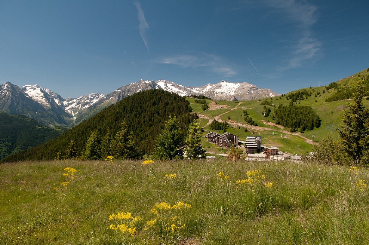
About : Vertical cross country running route
This steep running route (1455 metres of uphill climb over 7.4 kilometres distance) will help improve your capacity to cover distances over steep terrain, all whilst admiring the magnificent view !
It all begins with an ascension via the so called "chimney", which, up until 1895, was the only way to get to Auris. When you make it to the village La Balme it's then straight up to the Signal de l'Homme summit (at 2176 metres high). You will be rewarded with a fantastic view of the Ecrins mountain range and the Meije.
En bref
J+ : 1455 m
7.4 km
Level red – hard
Map and GPX marking
Vertical cross country running route
Auris-en-Oisans
Download
Opening
From 01/05 to 31/10.
Subject to favorable snow and weather conditions.
Prices
Free access.