20727476-diaporama
20727477-diaporama
20727478-diaporama
20727479-diaporama
This hike overlooking the Oisans plains is like a hanging footbridge between two valleys linking the village to the Prégentil headland.
About : The Prégentil headland
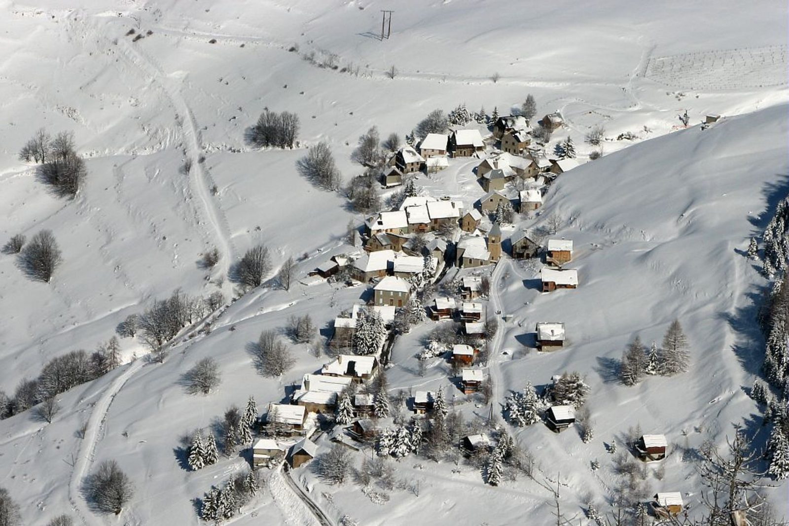
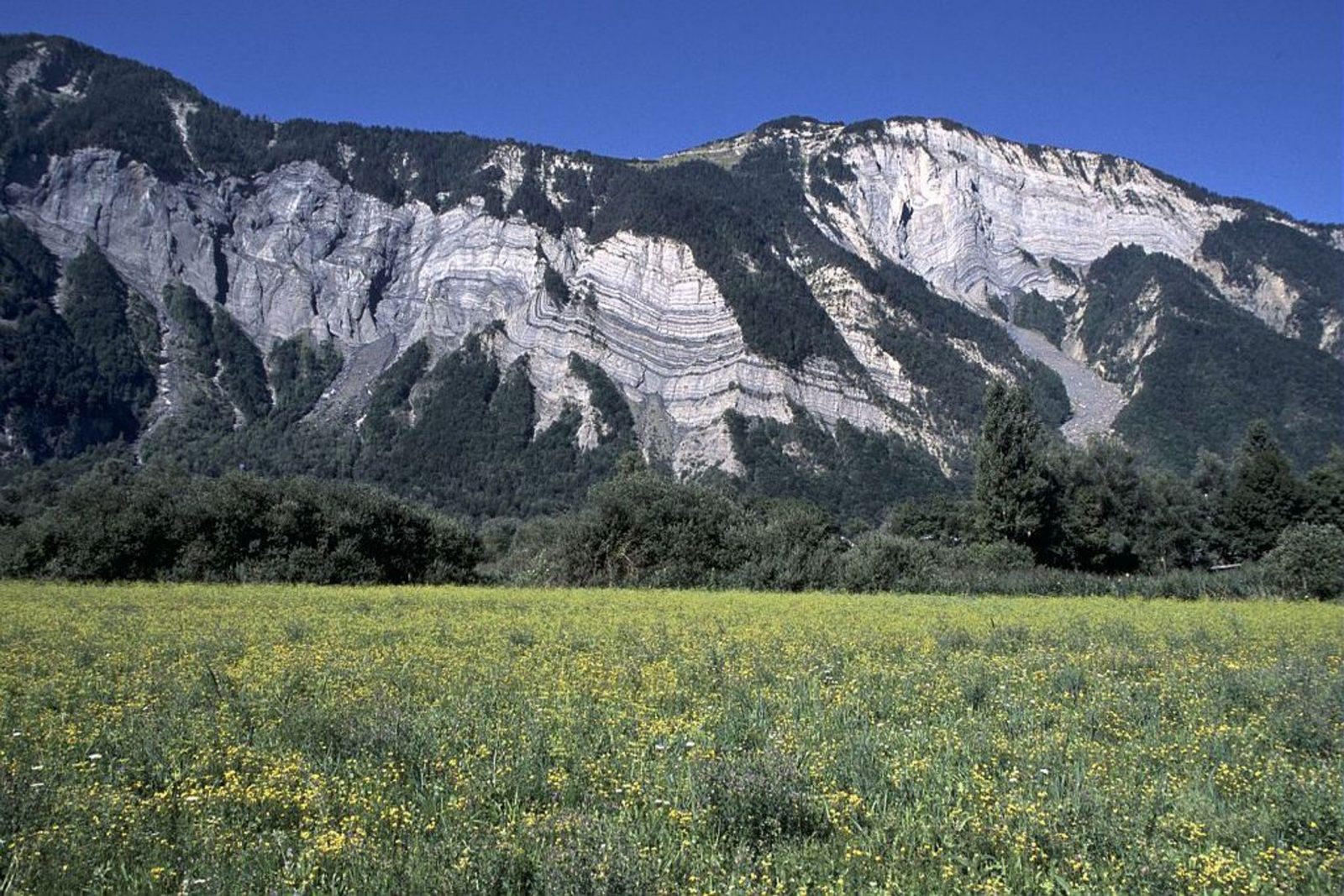
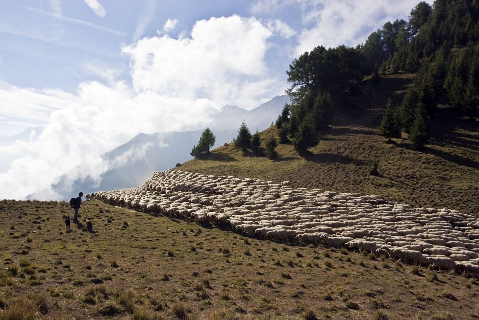
After crossing the square at the top of the village of Villard-Reymond, the path rises to the right between farms that are typical of the Oisans, and reaches the Col Du Solude (1680m). From the Col, head towards Col de Saint Jean, Prégentil. Then follow the forest path that slowly climbs through the undergrowth as far as the stopping place, then take the right-hand fork towards the Prégentil headland. This bare area is like a "footbridge" hanging between the two valleys of the Romanche and the Lignarre. The fine stony path rises slowly to the unsuspected meadows of Col de St- Jean (1842 m). After the panel, follow the path climbing steeply between the resinous trees and leading to the crests. When you arrive in Prégentil, the panorama over the surrounding summits is breathtaking: Belledonne, Les Grandes Rousses, Les Aiguilles d'Arves, La Meije, the Mont de Lans glacier, La Selle, La Muzelle, Le Rochail, Le Grand Renaud, Le Taillefer, with a dizzying 360° view.
Welcome: Easy
En bref
2 h 00
J+ : 299 m
5.35 km
Download
Prices
Free of charge.
Location supplement
Departure : Villard-Reymond.
Arrival : Villard-Reymond.
D526 to La Palud, then the D210 to Villard-Reymond
Parking recommended : Villard-Reymond car park, just before arriving in the village .