20727654-diaporama
20727655-diaporama
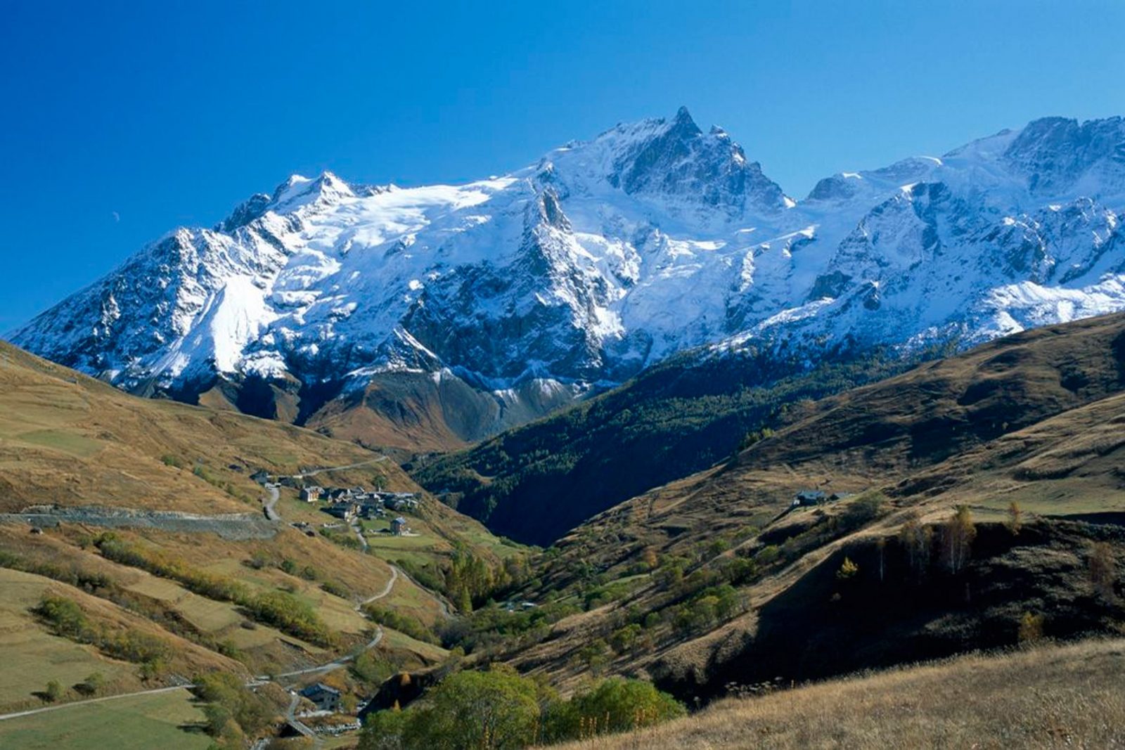
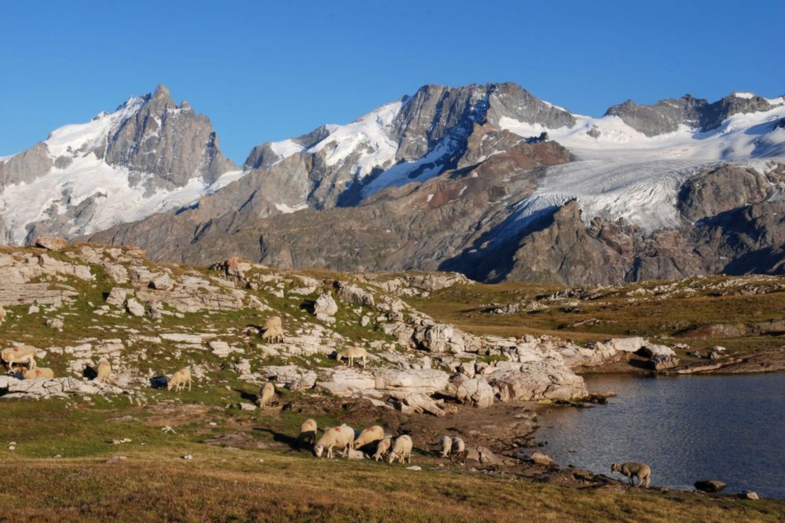
Hiking along this path, how can you not be struck by all the terraces which surround the villages of the canton? At the beginning of the last century they were all cultivated.
About : The mule path
From the starting point at Chazelet (1770 m), descend in the direction of the village along by the car park. At the first fork, do not go up in to the village but take the hairpin bend to the right in the direction of the foot of the ski-lifts. Cross the Gâ at the departure of the chairlift then follow the large hairpin bends that go up to the Eastern slope of the Plateau d'Emparis. Pass the banks (2060 m) and, at this point, fork to the left in the direction of the Southern edge of the Plateau d'Emparis. An exceptional view of Malaval valley situated at 1000 m further down. Pass close to the Maison Rouge » ruins and the « Pré Veyraud » (2132m). Fork to the right in the direction of the small mountain pass (2164 m). At this point, join the GR 54, and follow it descending to the banks. At the banks, fork to the left and take the path that crosses the Plateau d'Emparis ski lift and reach Clot Raffin hamlet. Take the path that leads to the bridge situated at the departure of the ski-lifts. Go up to Chazelet on a large track to return to the starting point for this itinerary.
Welcome: Easy
En bref
3 h 00
J+ : 455 m
6.8 km
Download
Prices
Free of charge.
Location supplement
Departure : Hameau du Chazelet.
From Bourg-d'Oisans, follow the D1091 and cross La Grave. At the tunnel exit, turn right on to the D33 and follow the direction of Chazelet.