484619-diaporama
This hike takes you up to the place where the Chief Marshal of the Allied air forces died in a mysterious air crash above Le River d'Allemond in June 1944.
About : York Mallory – Hiking
TECHNICAL INFORMATION
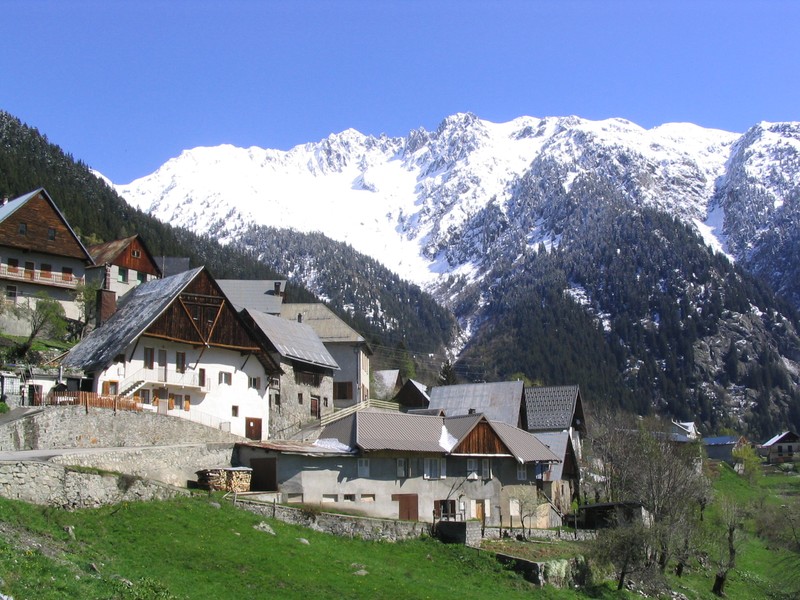
Starting point: Rivier d'Allemond (church)
Height gain: 747 m
Distance: 3.6 km
Level: easy
ROUTE
Starting from the church in Le Rivier, walk along the paved road to the Bruyant stream and take the path that rapidly climbs through a forest of spruce and deciduous trees to an altitude of 1700 m. Then continue westwards through rhododendrons and blueberry bushes, along a well-marked and easy to follow path up various rocky ledges,. This section requires care, but is not technically difficult. Pieces of the wrecked aeroplane gradually come into view and you eventually arrive at the commemorative plaque (2100 m). Retrace your footsteps back to Le Rivier and visit the Maison du Bouquetin and Espace York Mallory.
DON'T MISS
This (free) museum is located in the former presbytery. It is divided into two sections, with one part devoted to the history and lifestyle of the ibex and its reintroduction into the 7 Laux reserve. The second tells the tale of the crash, featuring pieces of the aircraft and objects from the war period...
En bref
4 h 50
J+ : 747 m
7.2 km
Level red – hard
Map and GPX marking
York Mallory – Hiking
Allemond
Download
Prices
Free access.