484614-diaporama
A lovely unspoiled walk featuring mountain lakes and ibex-spotting.
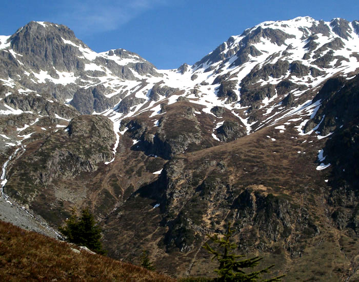
About : Col de la vache – Hiking
TECHNICAL INFORMATION
Starting point: Rivier d'Allemond
Height gain: 1253 m
Distance: 6.6 km
Level: Difficult
ROUTE
Starting from le Rivier d'Allemond, take the Pas de la Coche path, turning off when you see the sign at the Ruisseau des Combes stream. The path follows the bank upstream, before climbing rapidly under the Pic du Pin and joining back up with the path from the Pas de la Coche and crossing eastward under the Pic de la Belle Etoile. The path then climbs up steeply towards a peat bog (2322 m), before crossing a long rocky section, where hikers follow cairns. Another path leads up to the Col (2556 m).
EXTRA INFO
Make sure you have suitable footwear and gaiters as patches of snow persist into summer.
En bref
8 h 05
J+ : 1253 m
13.2 km
Level red – hard
Map and GPX marking
Col de la vache – Hiking
Allemond