20727882-diaporama
20727883-diaporama
20727884-diaporama
20727885-diaporama
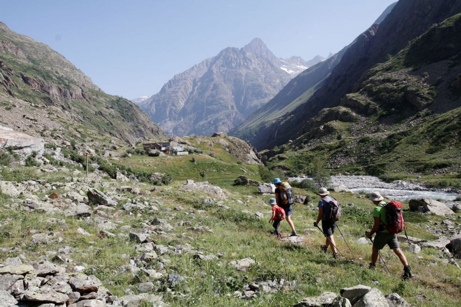
An accessible hike along La Muande. The path leads to the Lavey refuge, the starting point up to the glaciers.
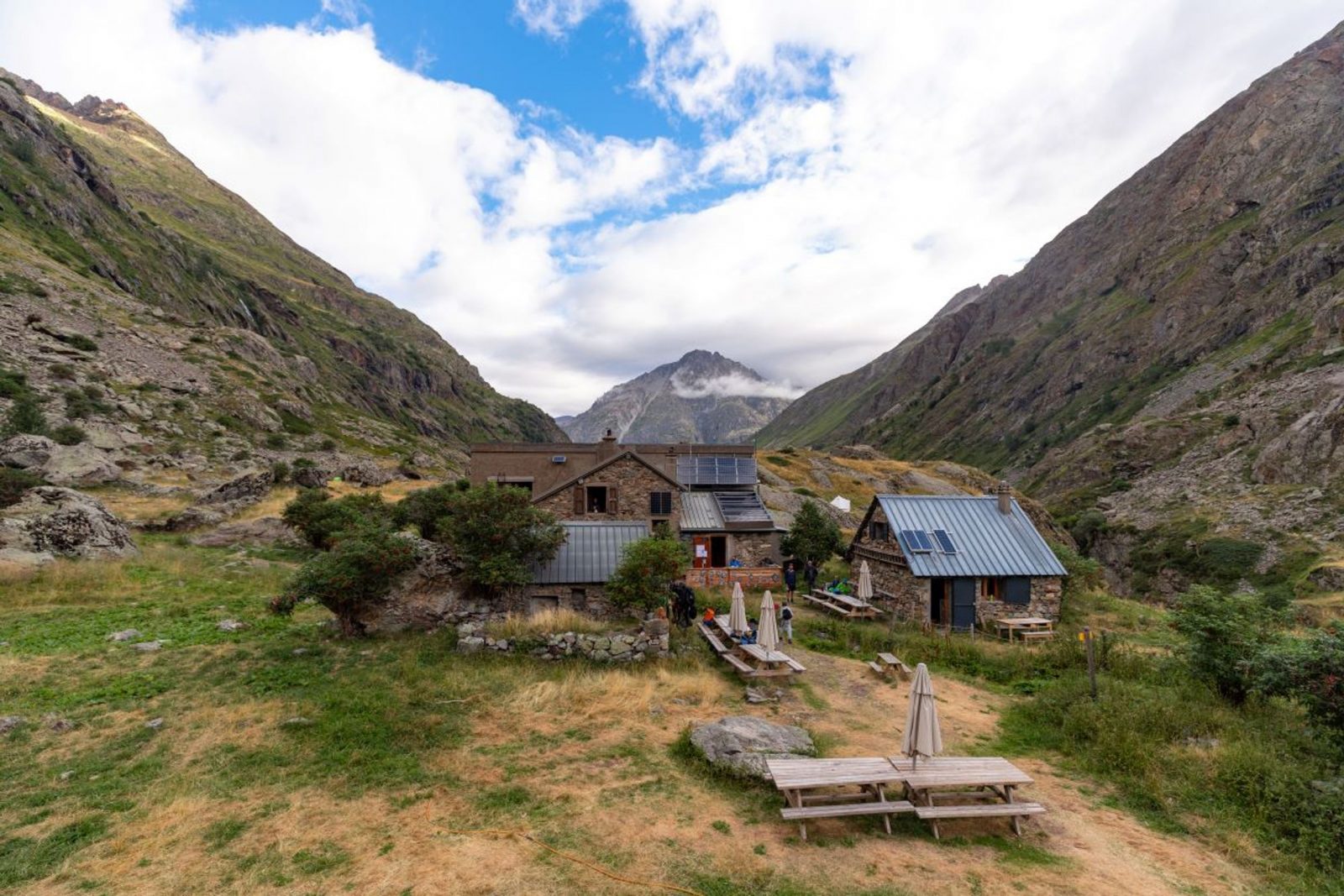
About : Lavey Refuge, Muande Valley
From the car park, take the path marked "Vallon de la Lavey" near the signs marking the Ecrins National Park entrance.
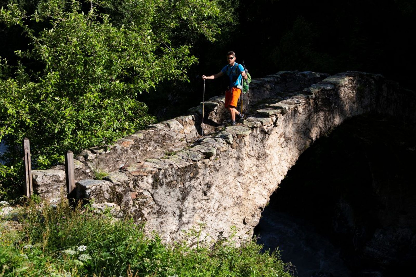
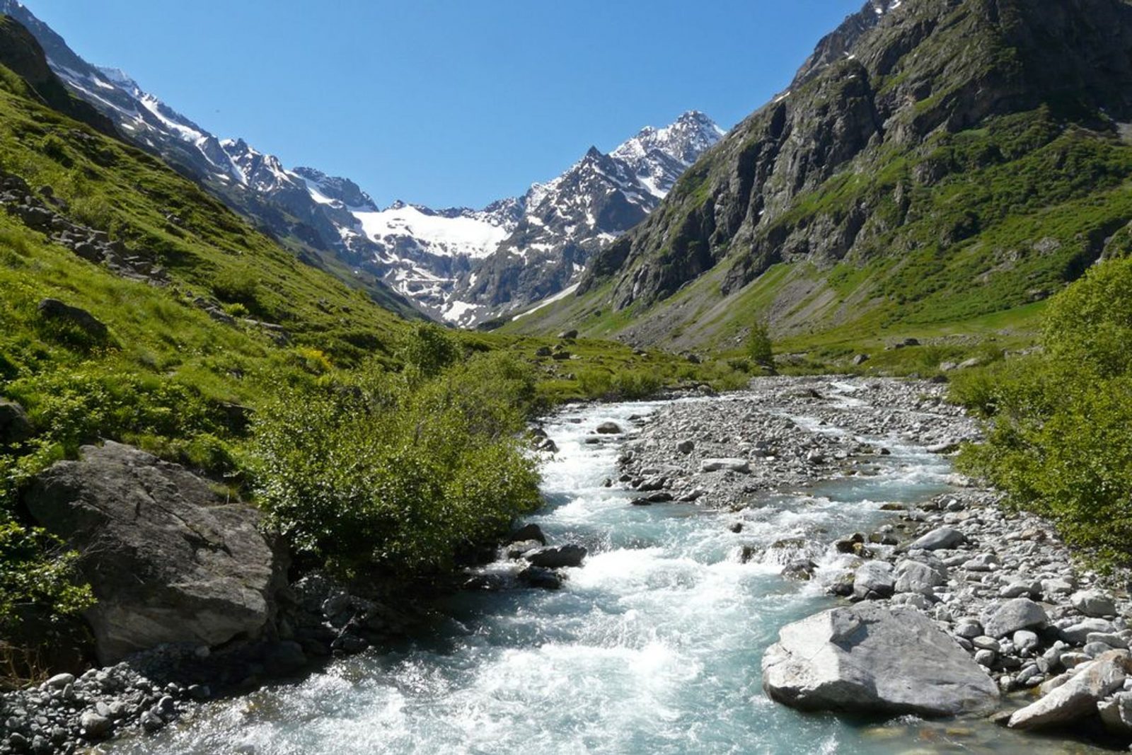
Walk below the village as far as the River Vénéon, then cross the magnificent stone bridge over the torrent (remember to close the barrier behind you). With the Lavey waterfall to your left, take the winding path leading up to the Raya chalets.
Continue along the right bank of the Muande torrent as far as the new arched stone bridge. The route continues along the left bank as far as the Lavey refuge. The way back is through the villages of Le Souchey and Le Clot (in dry weather): 50 m before the stone bridge as you come down from the refuge, stay on the left bank of the Muande torrent. The path rises slightly before arriving at the village of Le Souchey. Then go down towards the Vénéon and Le Clot, and then cross a large wooden footbridge over the Vénéon. Go up the path and, just before the village of Le Clot, take the path leading to the Champhorent car park.
Welcome: Medium
En bref
5 h 00
J+ : 613 m
11.07 km
Download
Prices
Free of charge.
Location supplement
Departure : Champhorent car park.
Arrival : Lavey refuge.
From the RD 1091 Bourg d'Oisans-Col du Lautaret take the RD530 towards Venosc, Saint Christophe en Oisans, La Bérarde. Pass St Christophe (church, cemetery), continue for another 2.5km as far as Champhorent. Park at the car park marked "départ de la Lavey".
Parking recommended : Just before the village of Champhorent, car park on the right,marked “Départ de la Lavey” .
Itinisère bus line 3040 stops at Champhorent.