18004853-diaporama
18004854-diaporama
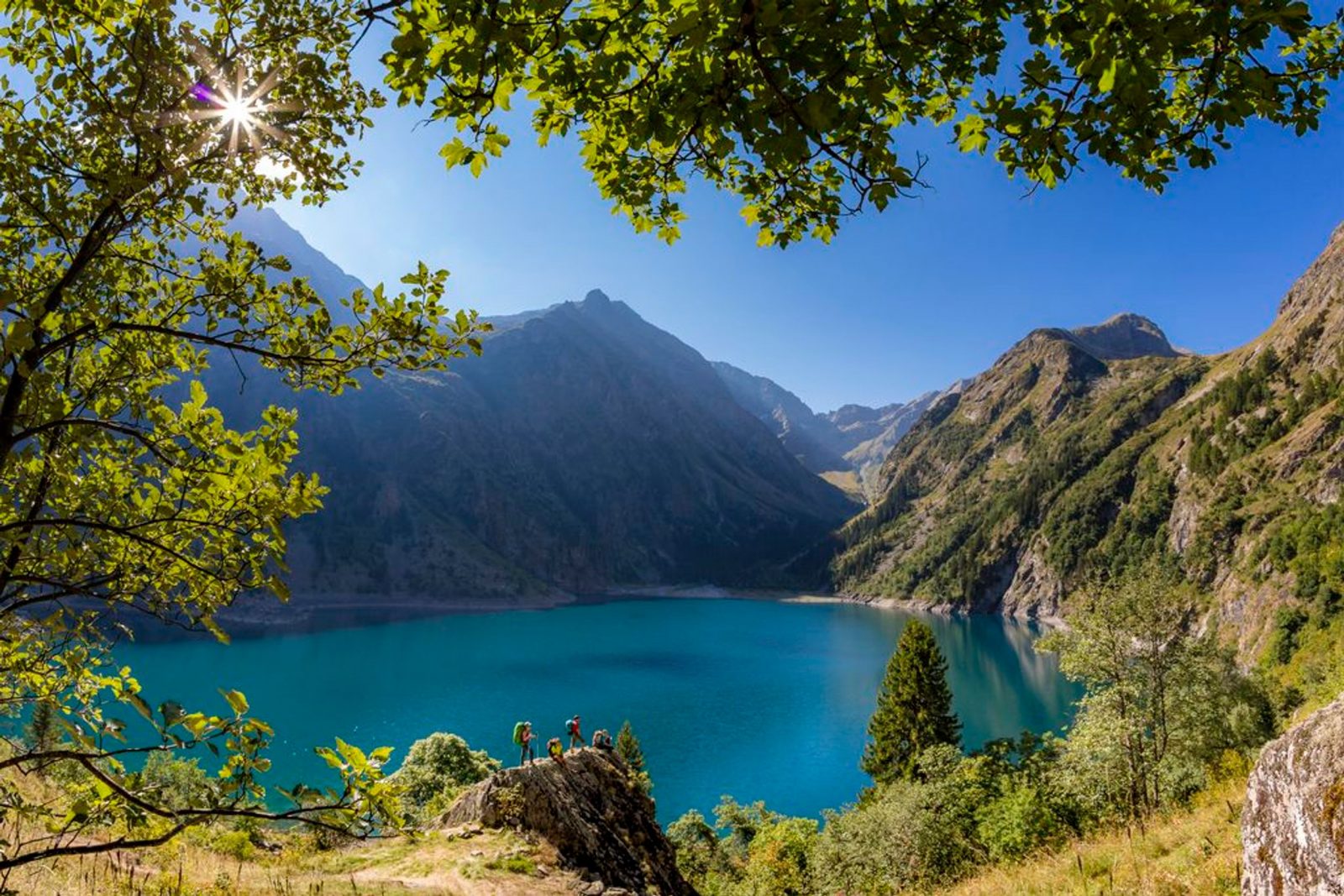
This family hike in the Lauvitel valley leads to the lake of the same name: a jewel set in the steep rocky slopes coming down from the summits of Rochail (3022 m), the top of the Muraillette (3019 m) and the Lauvitel signal (2901 m).
About : Lauvitel Lake
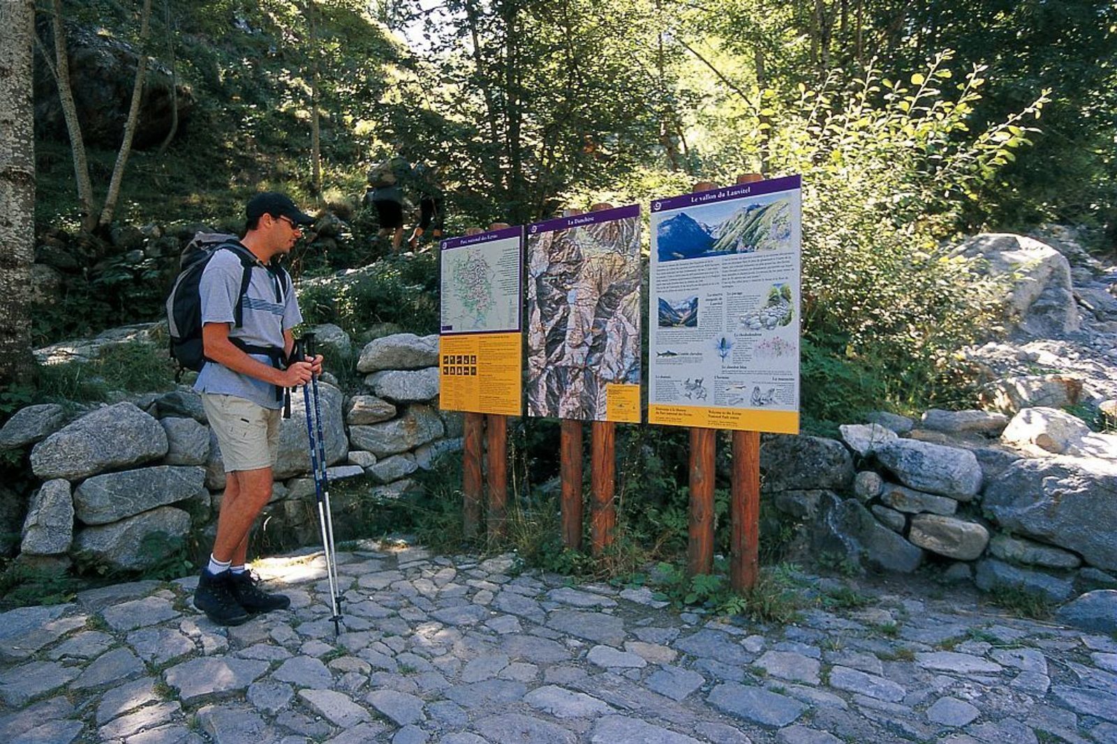
Cross the Danchère and continue along a good track to the crossroads near to the Lauvitel stream (Ecrins National Park noticeboard). Go up the paved path on the left, on the right bank of the stream. The track is bordered by dry stone walls which separate them from the cultivated fields. Cross the Selles stream near to the catchment area then follow the bends through the deciduous trees and the spruce trees. Cross numerous springs which are really resurgences from the lake. After having crossed a clearing with beautiful prairies, come out on to a lower shelf which leads to the edge of the Lauvitel (1530 m). For the return treck, follow the lake towards the cabins. At the fork, take the path to the right which goes down to the Danchère on the left bank of the stream. For the return journey along the lake towards the huts. At the fork, take the right path to reach halfway through the trailhead on the right bank of the creek. Down to Danchère, through the hamlet in reverse to reach the parking.
Welcome: Medium
En bref
2 h 45
J+ : 551 m
6 km
Download
Prices
Free of charge.
Location supplement
Departure : La Danchère.
From Bourg-d'Oisans, take the D1091 to Le Clapier hamlet and take the D530 then the D214c on the right.
Parking recommended : Car Park at Danchère hamlet .
Bus stop at Ougiers, on the La Bérarde - Bourg d'Oisans line (05voyageurs.com).