20727265-diaporama
20727266-diaporama
20727267-diaporama
Permafrost and rock glacier... a hike in the land of cold pebbles.
About : Laurichard Mountain Pass
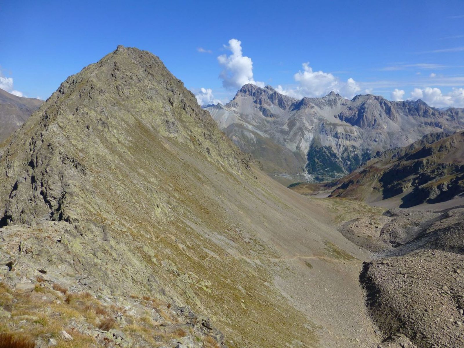
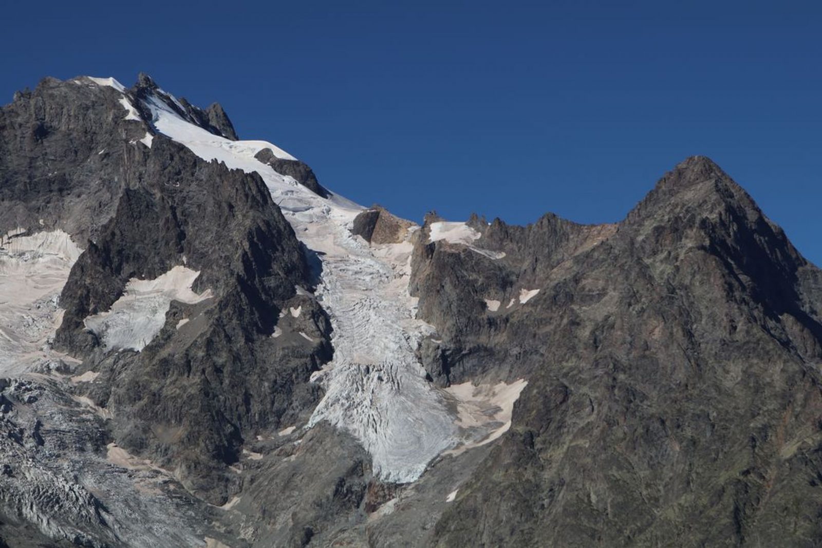
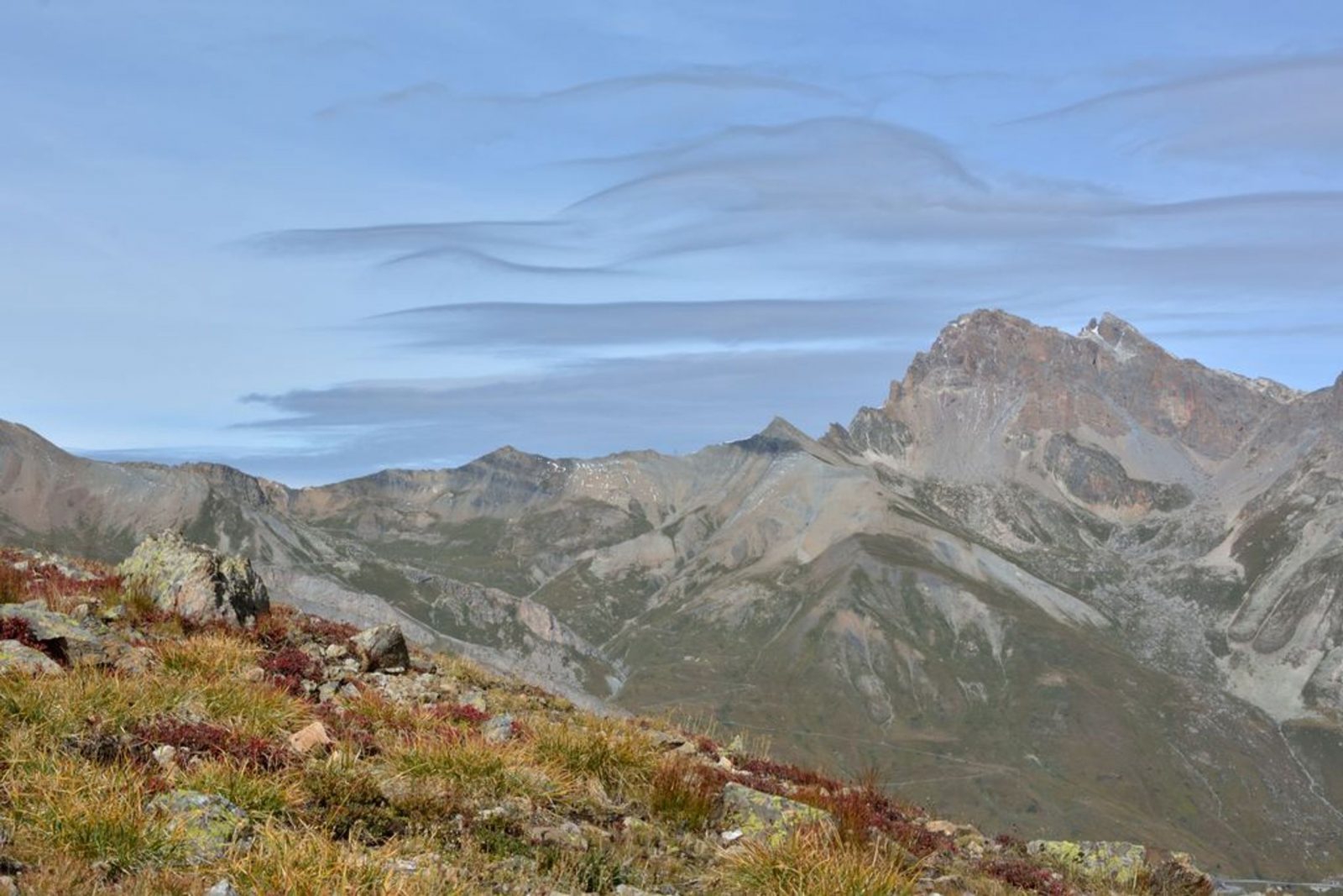
Leave the car park at the foot of Serre Orel to start the ascent in the direction of the Combe de Laurichard. Do not hesitate to look at the signs in the car park, marked « porte du parc national des Ecrins ». 250 m after the car park, the track divides into tow: stay on the one that goes up towards Laurichard and leave to your right the « track for the interpretation of crevasses ». The slope accentuates progressively up to the entrance of the Combe de Laurichard (alt. 2300 m), mineral world ‘par excellence’. The path follows its route at the foot of the South-East face of the pyramid of Laurichard and looks up at the imposing Northern faces, somber and austere, the summits at Combeynot (black rock of Combeynot and the West peak of Combeynot). It is at the foot of these two mineral giants that the Laurichard rock glacier is found with its permafrost – the soil is permanently frozen – but for how much longer, due to global warming? - Continue the ascent to reach Laurichard mountain pass, the panorama embraces the entire Meije massif and the surrounding summits (pic Gaspard, pointe Nérot, Bec de l’Homme,). For the descent, use the same itinerary in the opposite direction.
Welcome: Medium
En bref
4 h 00
J+ : 601 m
5.82 km
Download
Prices
Free of charge.
Location supplement
Departure : Col du Lautaret.
D1091 (Grenoble Briançon), col du Lautaret.
Parking recommended : Laurichard car park (at the foot of Serre Orel Use the car park at Lautaret mountain pass if the first one is full. .
The bus Grenoble - Briançon, via the Lautaret mountain pass (regional express line: LER 35).